Grampians Peak Trail trail stages
stage 1
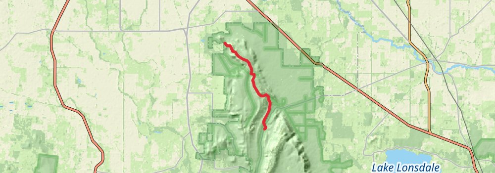
Distance: 17.2 km
Elevation gain: 706 m
Duration: 04:37:20
stage 2
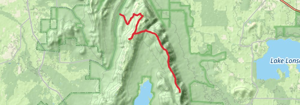
Starting at: Troopers Creek Campground, Shire of Northern Grampians, Shire of Northern Grampians, 3385
Ending at: Halls Gap, Northern Grampians
Distance: 18.9 km
Elevation gain: 1144 m
Duration: 05:41:42
stage 3
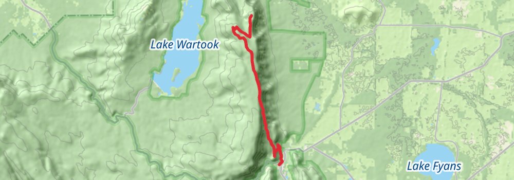
Starting at: Halls Gap, Northern Grampians
Ending at: Halls Gap, Northern Grampians
Distance: 15.6 km
Elevation gain: 500 m
Duration: 03:57:01
stage 4
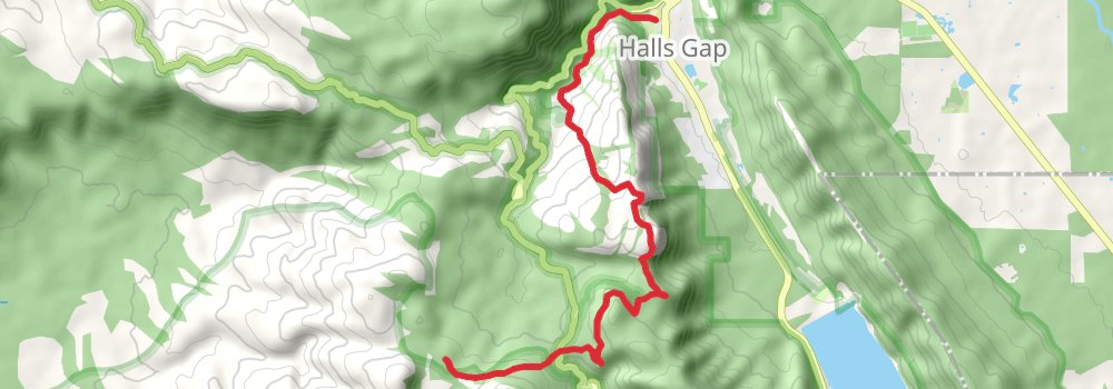
Starting at: Halls Gap, Northern Grampians, 3381
Distance: 11.9 km
Elevation gain: 778 m
Duration: 03:40:04
stage 5
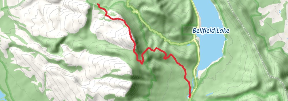
Distance: 11.7 km
Elevation gain: 464 m
Duration: 03:06:58
stage 6
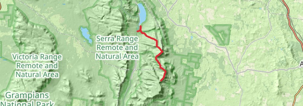
Distance: 19.1 km
Elevation gain: 1484 m
Duration: 06:17:48
stage 7
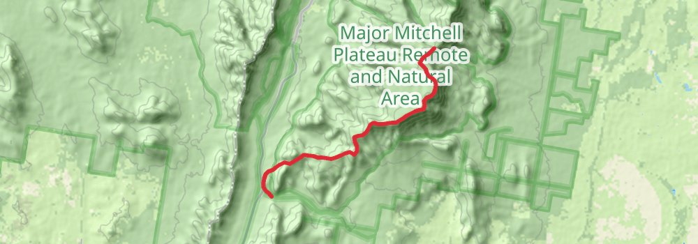
Starting at: Boundry Gap, City of Ararat, City of Ararat, 3379
Ending at: City of Ararat, City of Ararat, 3379
Distance: 14.1 km
Elevation gain: 482 m
Duration: 03:36:51
stage 8
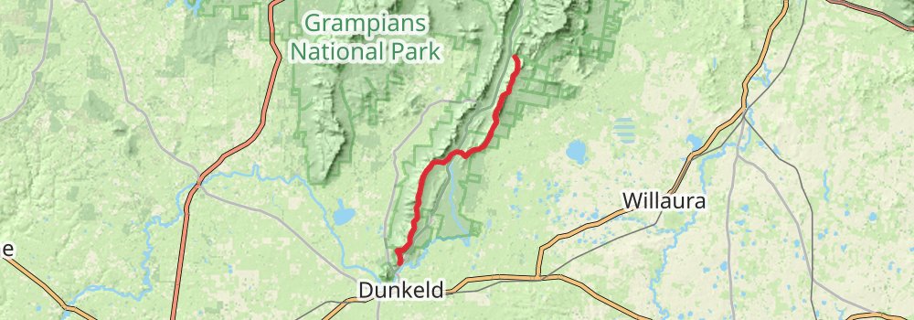
Starting at: City of Ararat, City of Ararat, 3379
Ending at: Dunkeld, Dunkeld, 3294
Distance: 42.7 km
Elevation gain: 2323 m
Duration: 12:25:13
stage 9
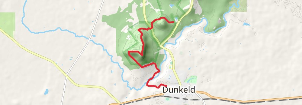
Starting at: Dunkeld, Dunkeld, 3294
Ending at: Dunkeld, Southern Grampians, 3294
Distance: 9.3 km
Elevation gain: 463 m
Duration: 02:37:48