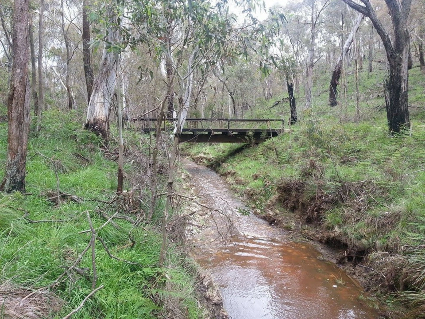
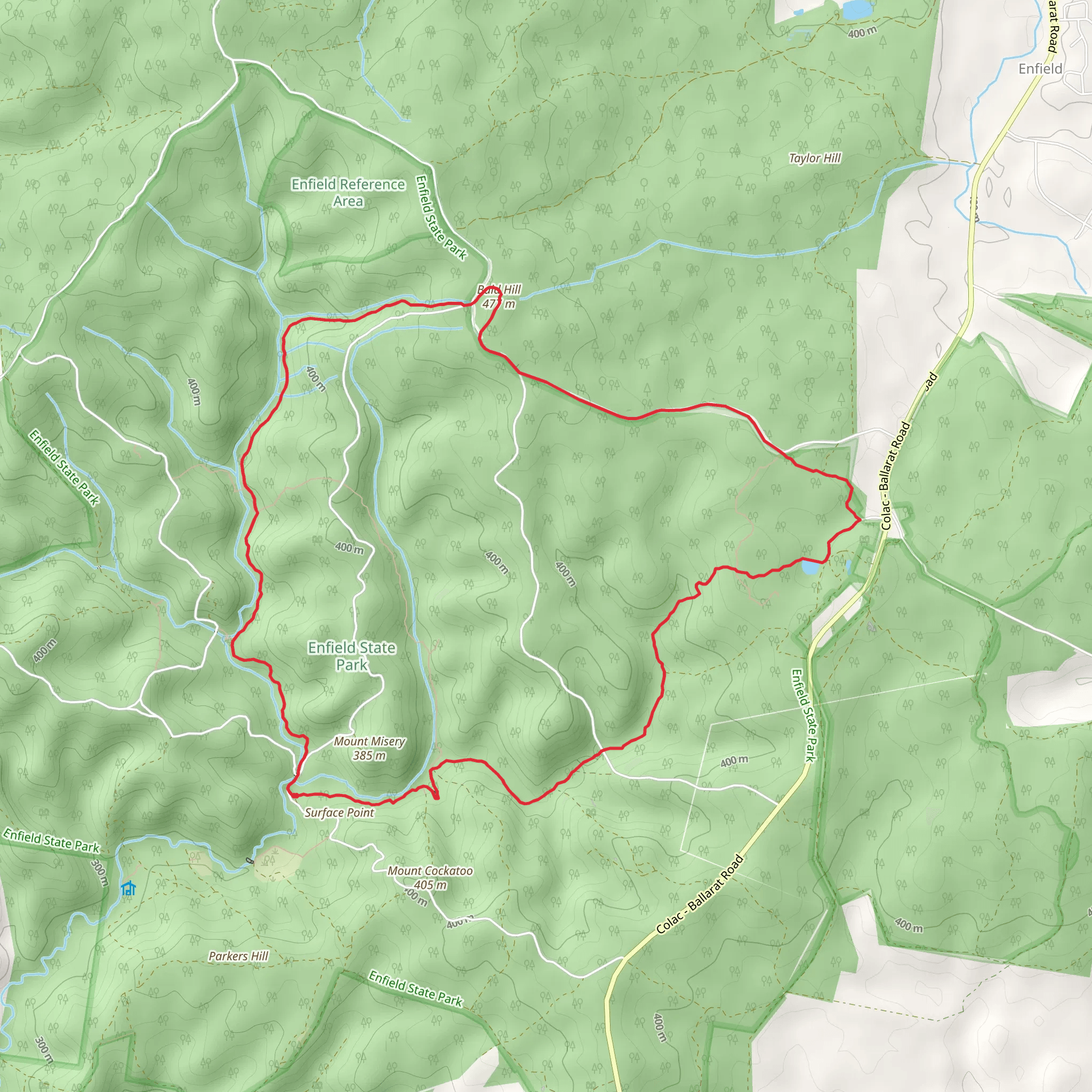
The Enfield Bald Hills Loop Trail is a 10 mi looped trail that starts and ends at Surface Point Picnic Area, Enfield State Park, Victoria. Park in the Surface Point Picnic Area car park, where there are toilets and picnic tables and then set off on this forest trail circuit that offers an undulating bushwalk with some steep sections and challenging areas, amounting to a total elevation gain of 752 f. Considered a medium difficulty hike, it’s usually completed in around 4 – 5 hours. The terrain is varied but consists mainly of single dirt trail or forest track, with uneven sections and boardwalk. This trail is all about the journey through the bush, hiking the miles and reaching peak of Bald Hills at 477 m, and creek hopping, especially after rainfall. For information on how we grade trails, please click here. Caution is advised on trail times as this depends on multiple variables. For more info, click here. The trail is signposted with blue arrow markers although signage can become scarce at times so it’s a good idea to use your route planner or trail app as you go. It’s also recommended to wear longs and sleeves in case paths have become overgrown. There are many walks within the park, but only experienced bushwalkers with navigational skills are advised to go ‘off trail’, where they are also welcome to bush camp at Frith Gully. Enfield State Park is one of the largest conservation reserves in the region and was once a site for gold mining, you can see relics from those times around the park. Today almost half of the state park is still open for fossicking or ‘gold panning’ along Misery Creek. Dogs are allowed but must be kept on a leash at all times. hike, hiking trail, hiking route, route plan, trail map, route map, walking trail, mountain trail, family walk, family hike, local hike, forest walk, forest trail, forest path, mountain path, wheelchair friendly Photo Credit: https://www.trailhiking.com.au/