1.6 km
~31 min
125 m
“Ensign Peak Trail offers a short, rewarding hike with stunning views and rich historical significance.”
Starting near Salt Lake County, Utah, the Ensign Peak Trail is a relatively short yet rewarding hike, stretching approximately 2 kilometers (1.2 miles) with an elevation gain of around 100 meters (328 feet). This out-and-back trail is rated as medium difficulty, making it accessible for most hikers while still offering a bit of a challenge.
### Getting There
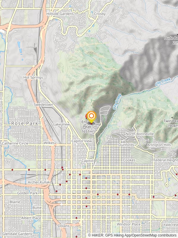
To reach the trailhead, you can drive or use public transportation. If driving, head towards the Utah State Capitol building, located at 350 State St, Salt Lake City, UT 84103. From there, continue north on East Capitol Boulevard until you reach the Ensign Peak Nature Park parking area. For those using public transport, take a bus to the Utah State Capitol and then walk north along East Capitol Boulevard to the trailhead.
### Trail Overview
The trail begins at the Ensign Peak Nature Park, where you'll find a small parking area and informational signs about the trail and its historical significance. The initial section of the trail is relatively gentle, winding through scrub oak and sagebrush. As you ascend, the path becomes steeper and rockier, so sturdy footwear is recommended.
### Historical Significance
Ensign Peak holds a special place in Utah's history. It was here that Brigham Young and other Mormon pioneers climbed on July 26, 1847, just two days after arriving in the Salt Lake Valley. They raised a makeshift flag to signal the establishment of their new home. The peak offers a panoramic view of the Salt Lake Valley, making it easy to understand why it was chosen for this symbolic act.
### Landmarks and Views
At approximately 0.8 kilometers (0.5 miles) into the hike, you'll reach a viewpoint that offers a stunning vista of downtown Salt Lake City and the Great Salt Lake. This is a great spot to take a break and snap some photos. Continuing on, the trail becomes steeper as you approach the summit.
Upon reaching the summit of Ensign Peak, you'll find a monument commemorating the historical significance of the site. The 360-degree views from the top are breathtaking, offering sights of the Wasatch and Oquirrh mountain ranges, the Salt Lake Valley, and the Great Salt Lake. On a clear day, you can even see Antelope Island.
### Nature and Wildlife
The trail is home to a variety of plant and animal life. Keep an eye out for mule deer, which are commonly seen in the area. Birdwatchers will also enjoy spotting species such as hawks, eagles, and various songbirds. The flora includes native grasses, wildflowers, and shrubs like sagebrush and scrub oak.
### Navigation and Safety
While the trail is well-marked, it's always a good idea to have a navigation tool like HiiKER to ensure you stay on track. The trail can be quite exposed, so bring plenty of water, sunscreen, and a hat to protect yourself from the sun. The best times to hike are early morning or late afternoon to avoid the midday heat.
### Final Stretch
The descent follows the same path back to the trailhead. Take your time on the way down, as the rocky sections can be tricky. Once you return to the Ensign Peak Nature Park, you'll have completed a hike that is not only physically rewarding but also rich in historical and natural significance.
Reviews
User comments, reviews and discussions about the Ensign Peak Trail, Utah.
0.0
average rating out of 5
0 rating(s)


