The best hikes in Garfield County
Utah · 94 HiiKER Hikes
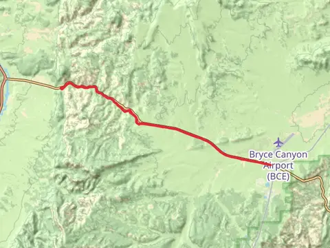
View Hikes on map
What to expect
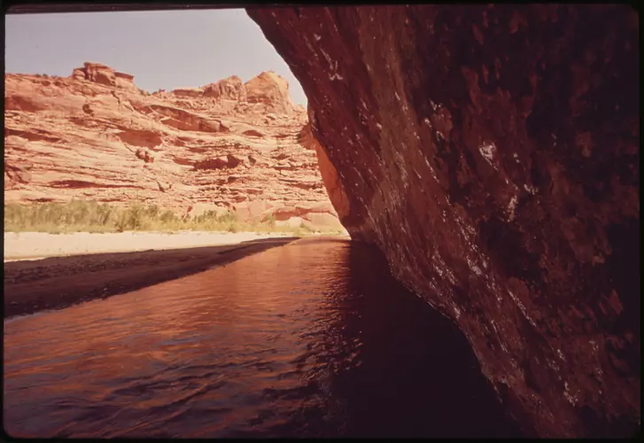
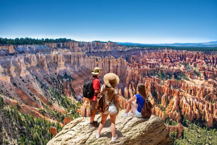
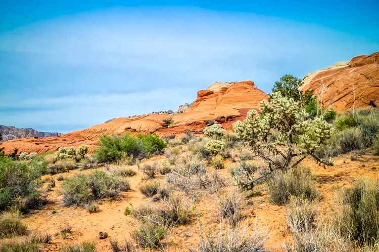
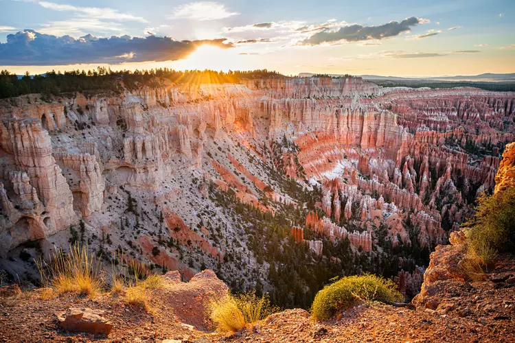
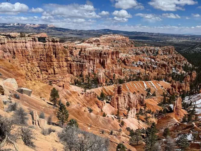
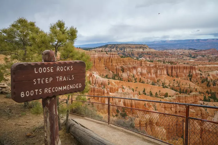
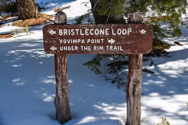
Check out some of the best hiking, walking and backpacking routes in Garfield County, Utah. The Boulder Mail Trail is the most popular trail. The trails have 1243 user reviews with great photos and information. There are trails of various difficulty levels including easy, medium, difficult, and extra difficult. The trail with the highest elevation climb is the Wildcat Trail and Chokecherry Point Walk and the trail with the least amount of climbing is the Leprechaun Canyon Trail. The longest trail is the Under The Rim Trail at 47.2 km. For a shorter adventure you can try the Rim Short Trail at 394 m. Get off line access to Shelter, Water, Peak, and Campsite locations and much more with a Hiiker subscription.

Be prepared for hiking in Utah with the HiiKER app