The best hikes in Briscoe County
Texas · 8 HiiKER Hikes
View Hikes on map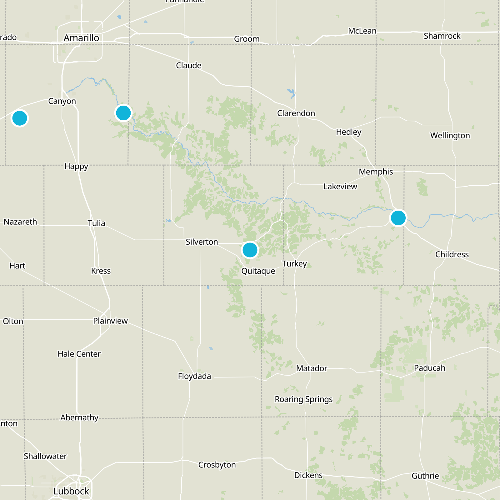
What to expect
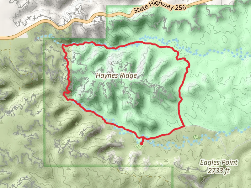
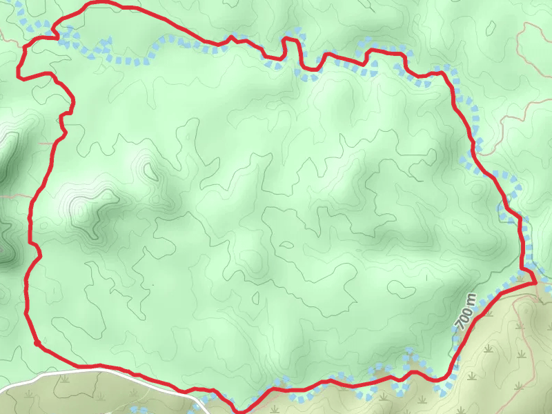
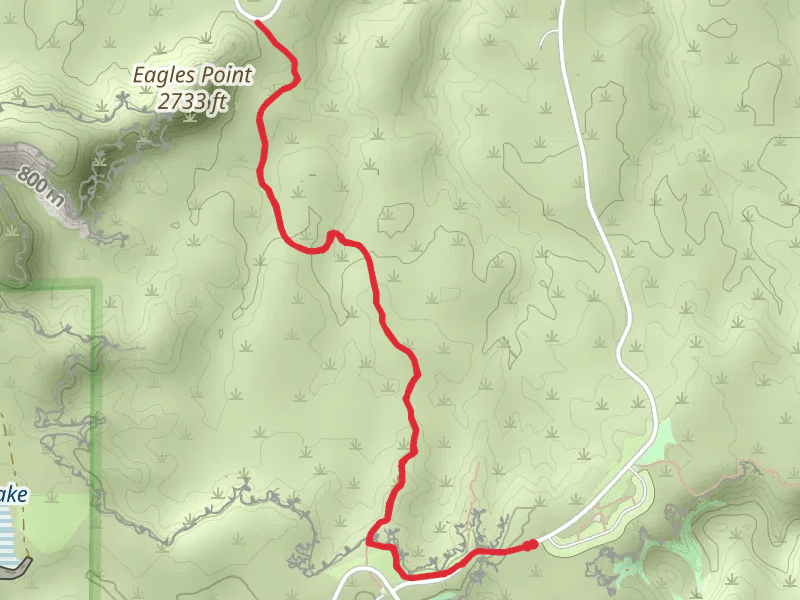
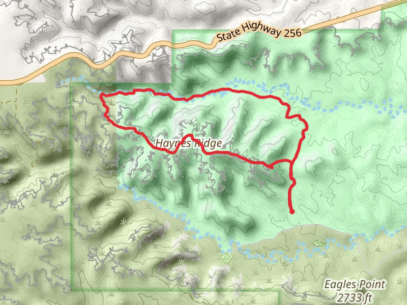
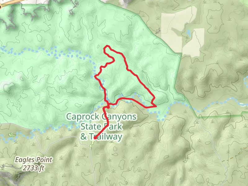
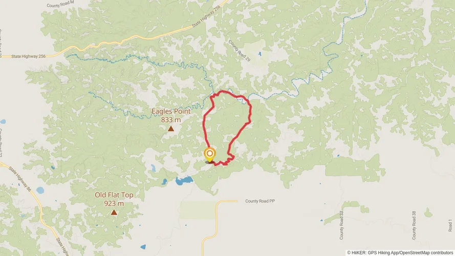
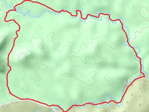
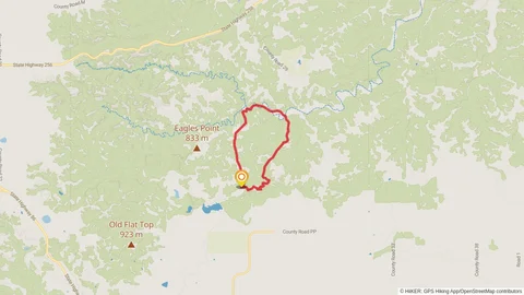
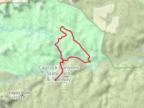
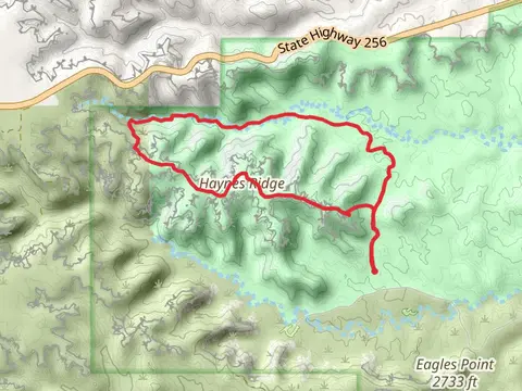
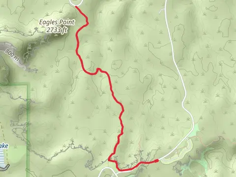
Check out some of the best hiking, walking and backpacking routes in Briscoe County, Texas. The Upper Canyon - Trail A - B - C and D Loop is the most popular trail. The trail with the highest elevation climb is the Trail B - Haynes Ridge and Trail C - Upper Canyon Trail Loop and the trail with the least amount of climbing is the Trail G - Wild Horse and Trail H - Mesa Trail Loop. The longest trail is the Upper Canyon - Trail A - B - C and D Loop at 11.4 km. For a shorter adventure you can try the Trail D - Canyon Loop Trail at 2.6 km. Get off line access to Peak, Water, Campsite, and Shelter locations and much more with a Hiiker subscription.

Be prepared for hiking in Texas with the HiiKER app