The best hikes in Austin County
Texas · 9 HiiKER Hikes
View Hikes on map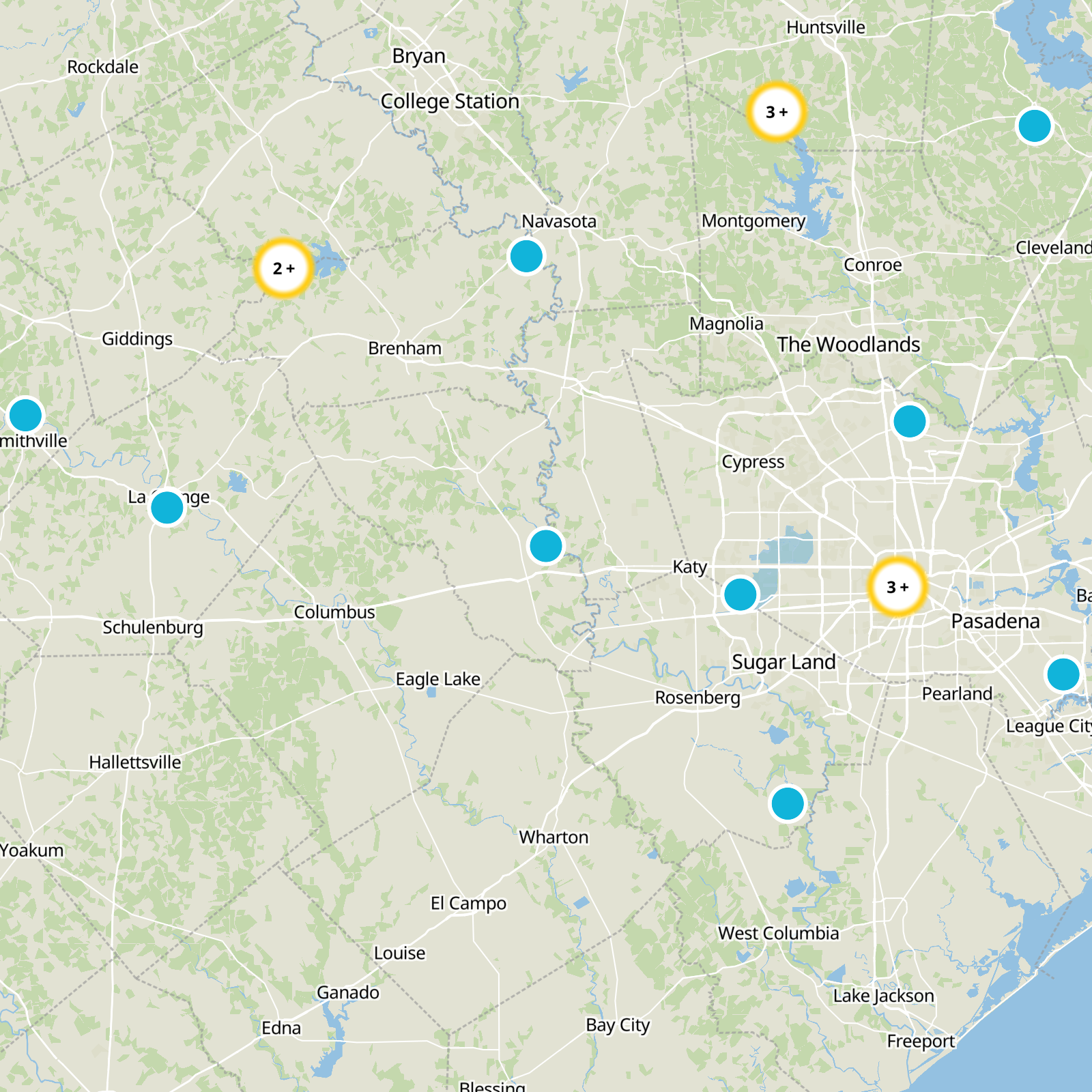

What to expect
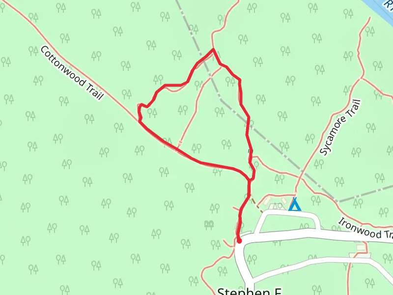
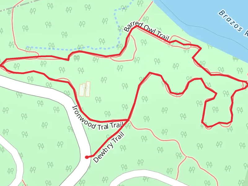
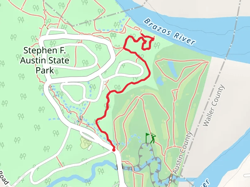
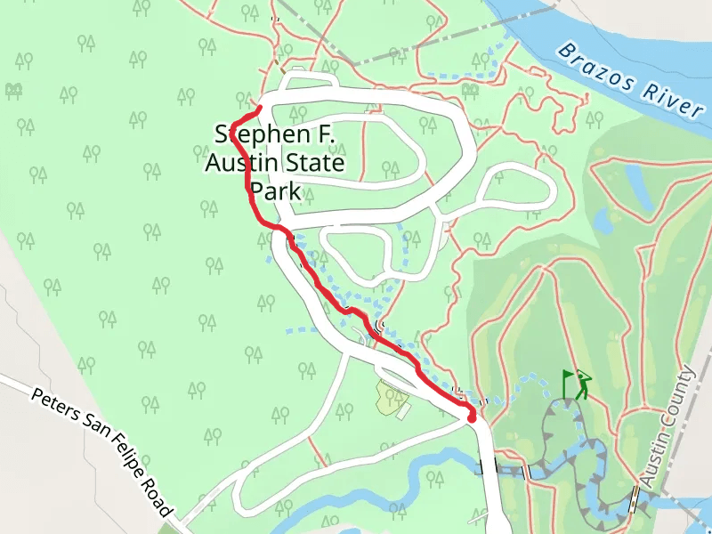
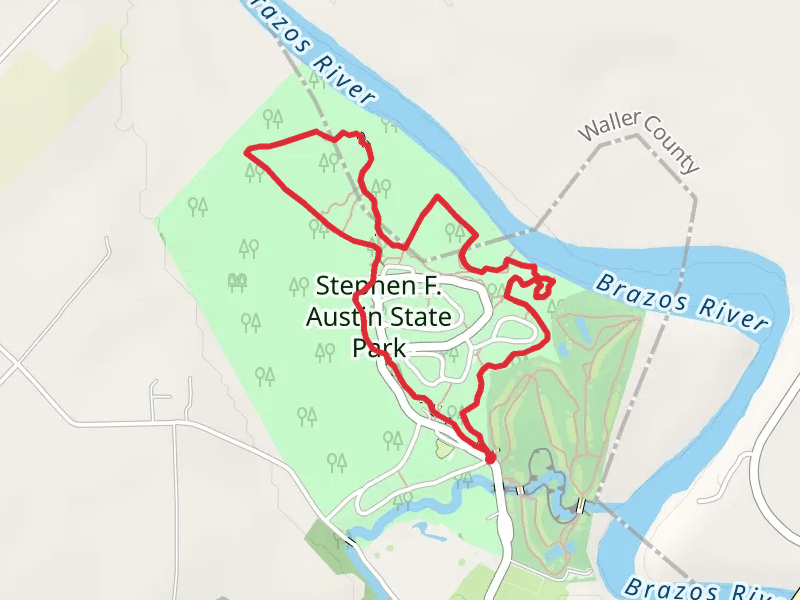
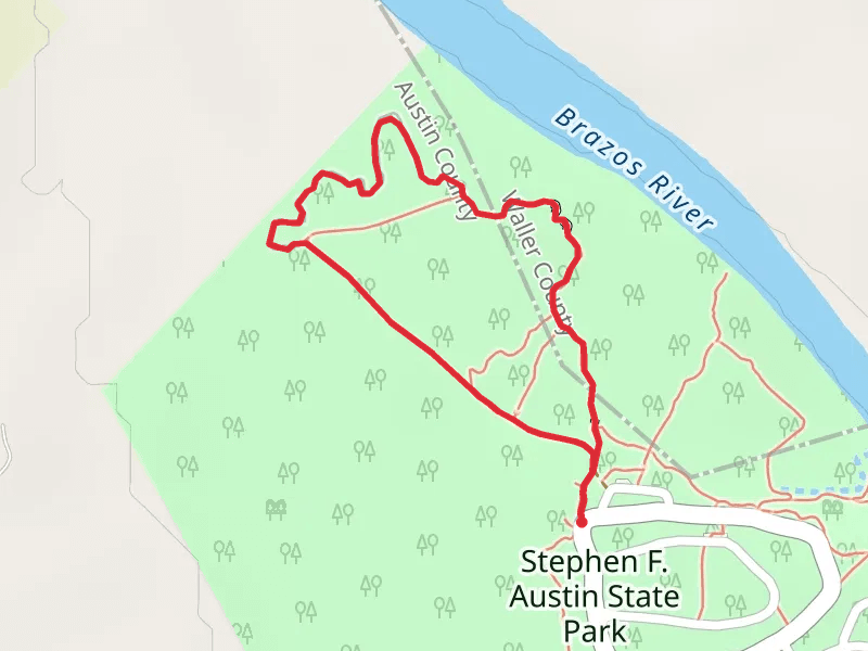
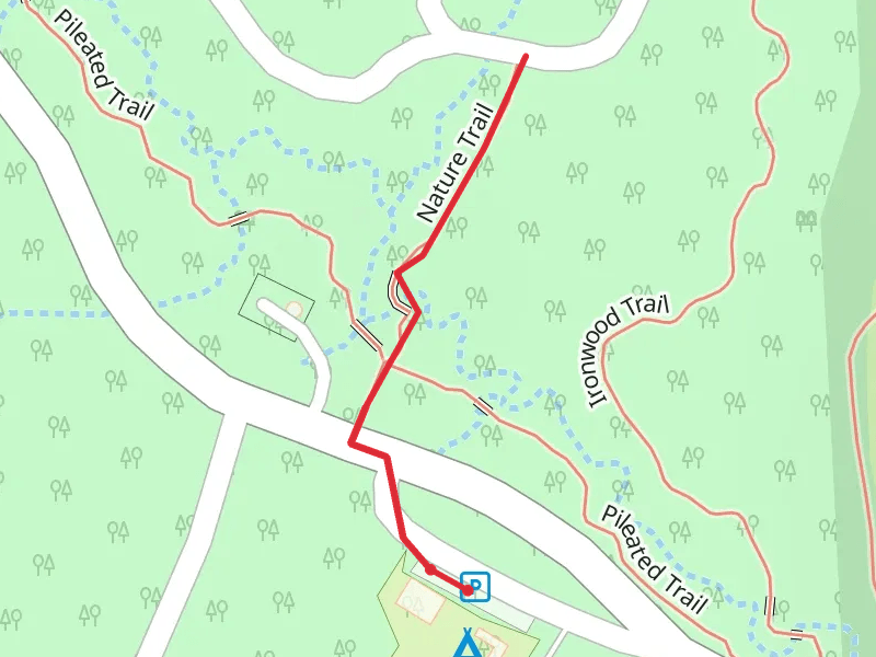
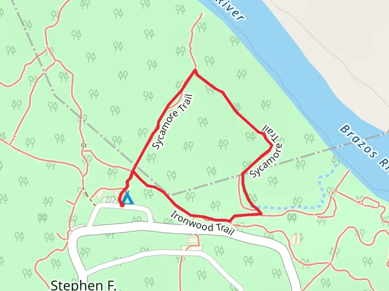
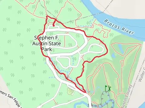
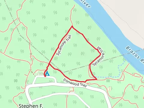
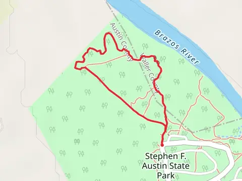
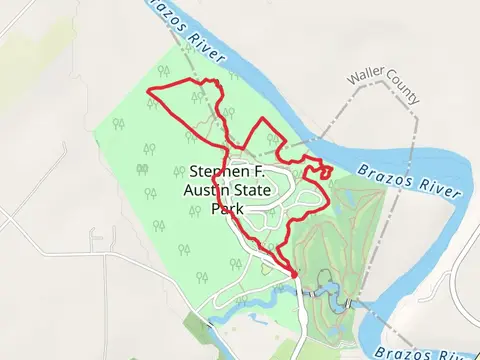
Check out some of the best hiking, walking and backpacking routes in Austin County, Texas. The Opossum Loop and Brazos Bottom Loop Trail is the most popular trail. There are trails of various difficulty levels including easy and medium. The trail with the highest elevation climb is the Stephen F Austin State Park Loop - Brazos River and the trail with the least amount of climbing is the Sycamore and Ironwood Loop Trail. The longest trail is the Pileated, Cottonwood and Ironwood Loop Trail at 5.7 km. For a shorter adventure you can try the Nature Trail at 620 m. Get off line access to Post Office, History, Town, and Campsite locations and much more with a Hiiker subscription.

Be prepared for hiking in Texas with the HiiKER app