The best hikes in Grundy County
Tennessee · 26 HiiKER Hikes
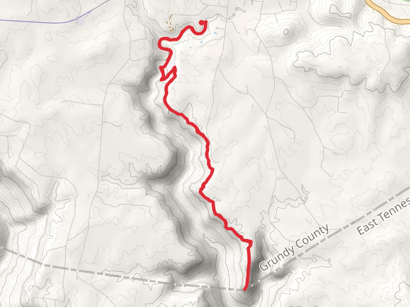
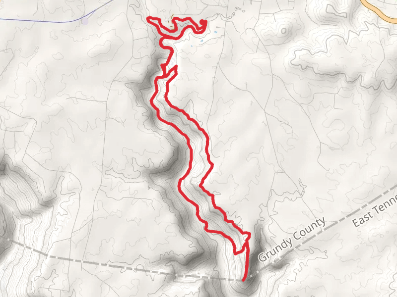
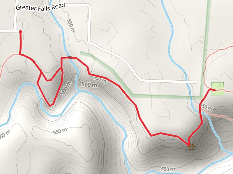
View Hikes on map

What to expect
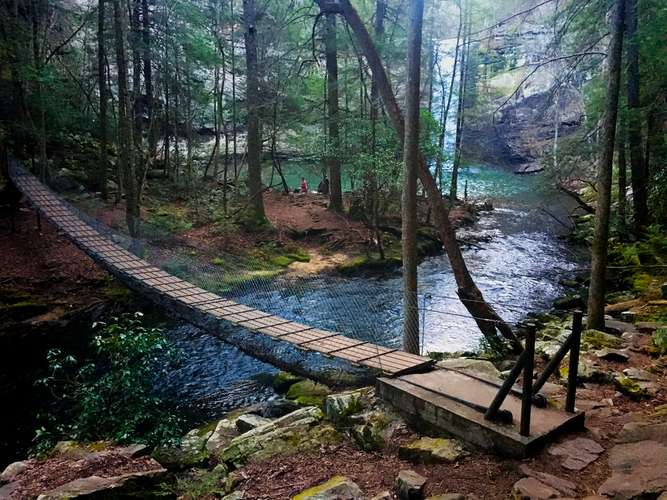
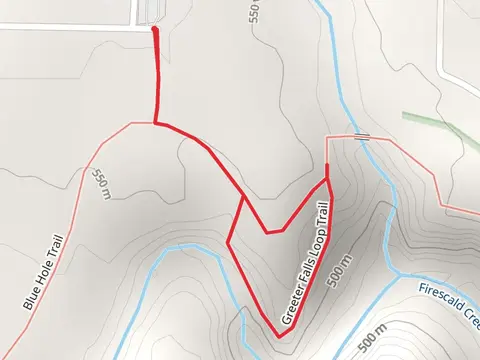
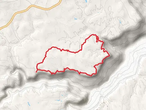
Check out some of the best hiking, walking and backpacking routes in Grundy County, Tennessee. The Fiery Gizzard Trail is the most popular trail. The trails have 952 user reviews with great photos and information. There are trails of various difficulty levels including medium, difficult, and extra difficult. The trail with the highest elevation climb is the Savage Day, North Plateau and North Rim Loop Trail and the trail with the least amount of climbing is the Fiery Gizzard Trail. The longest trail is the Boyd Branch, Savage Creek and Collins River Loop at 42.1 km. For a shorter adventure you can try the Laurel Falls Loop Trail at 812 m. Get off line access to Town, Water, Campsite, and Viewpoint locations and much more with a Hiiker subscription.

Be prepared for hiking in Tennessee with the HiiKER app