The best hikes in Blount County
Tennessee · 102 HiiKER Hikes
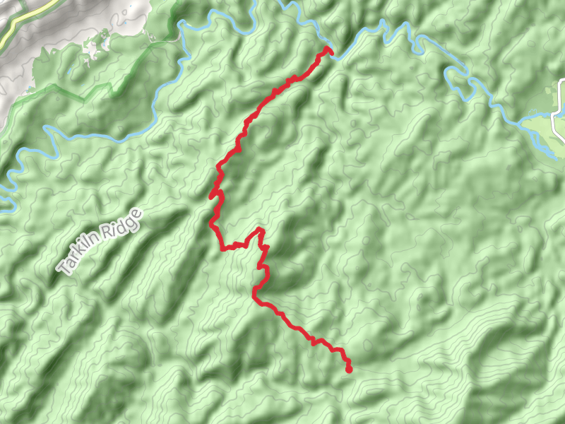
View Hikes on map

What to expect
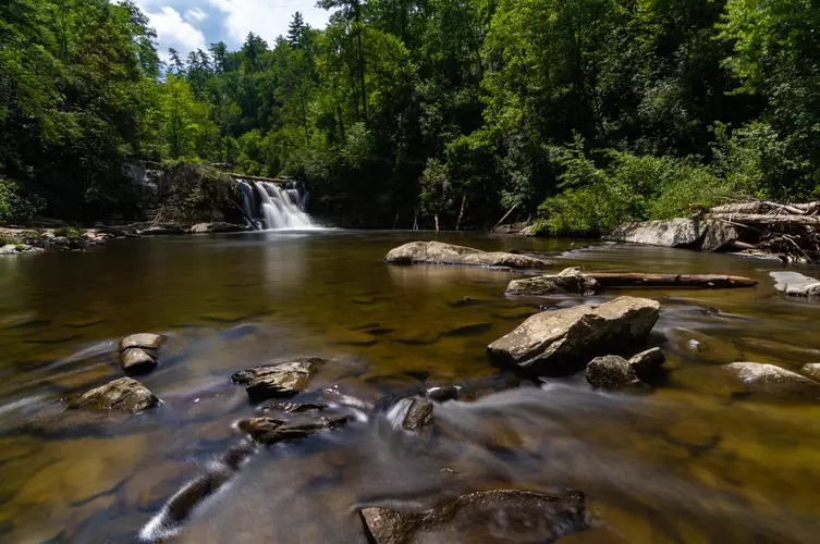
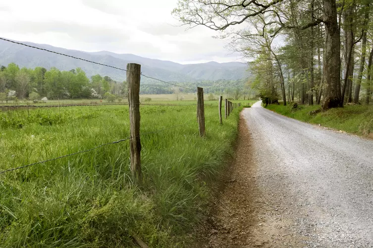
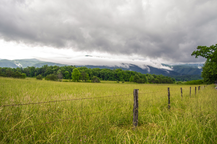
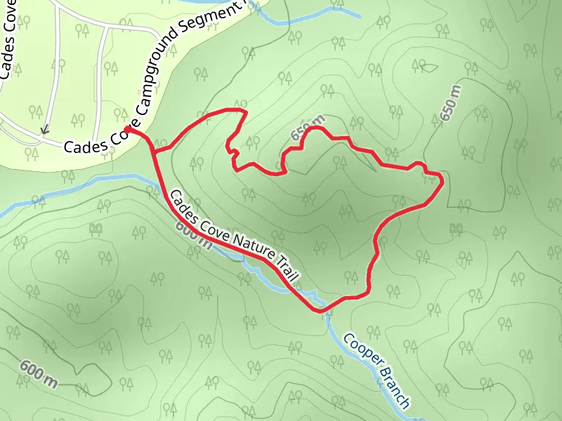
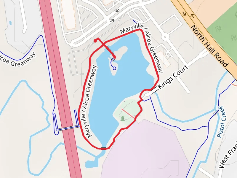
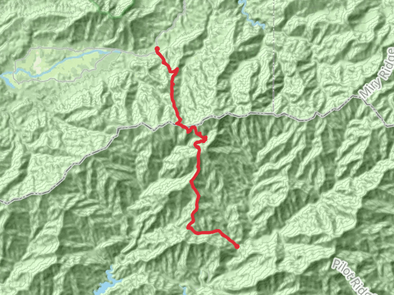
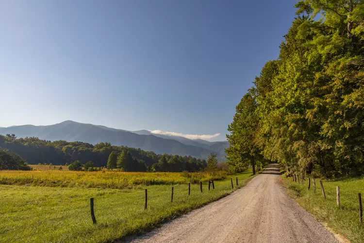
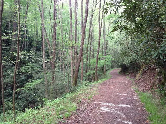
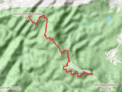
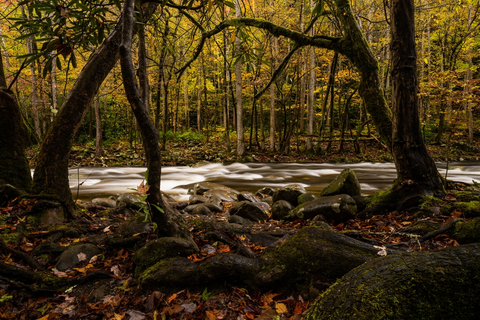
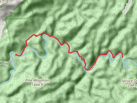
Check out some of the best hiking, walking and backpacking routes in Blount County, Tennessee. The Cades Cove Nature Trail is the most popular trail. The trails have 2183 user reviews with great photos and information. There are trails of various difficulty levels including easy, medium, difficult, and extra difficult. The trail with the highest elevation climb is the Anthony Creek to Middle Prong Trail and the trail with the least amount of climbing is the Maryville and Alcoa Greenway Loop. The longest trail is the Jenkins Ridge via Lead Cove and Bote Mountain Trail at 44.1 km. For a shorter adventure you can try the John Oliver Cabin access Loop at 762 m. Get off line access to History, Campsite, Water, and Peak locations and much more with a Hiiker subscription.

Be prepared for hiking in Tennessee with the HiiKER app