The best hikes in Region Engiadina Bassa/Val Müstair
Switzerland · 41 HiiKER Hikes
View Hikes on map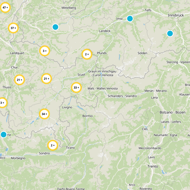


What to expect
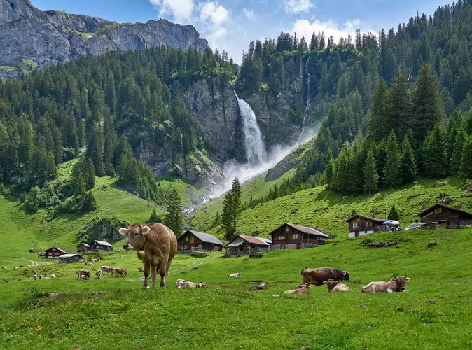
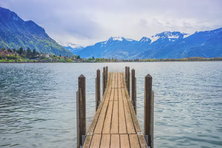
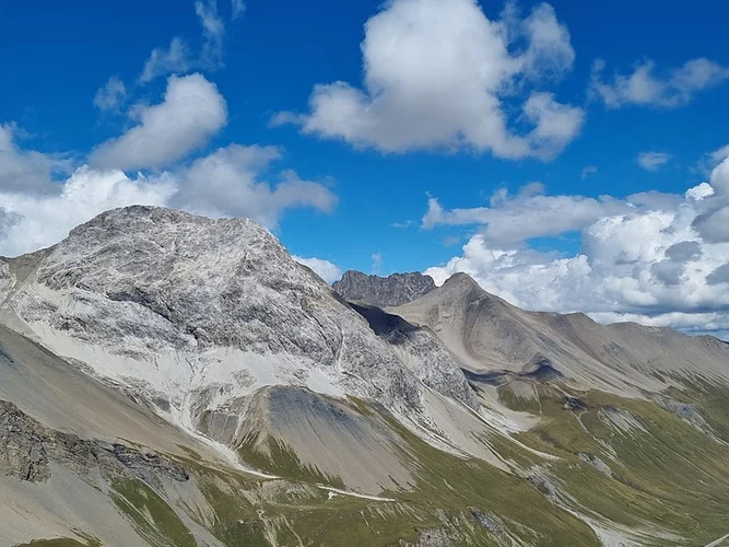
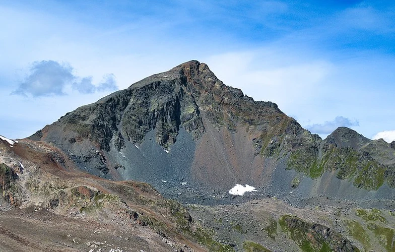
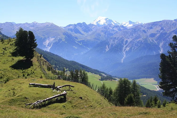
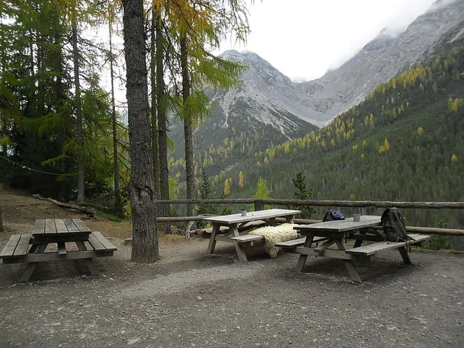
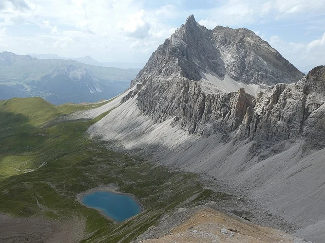
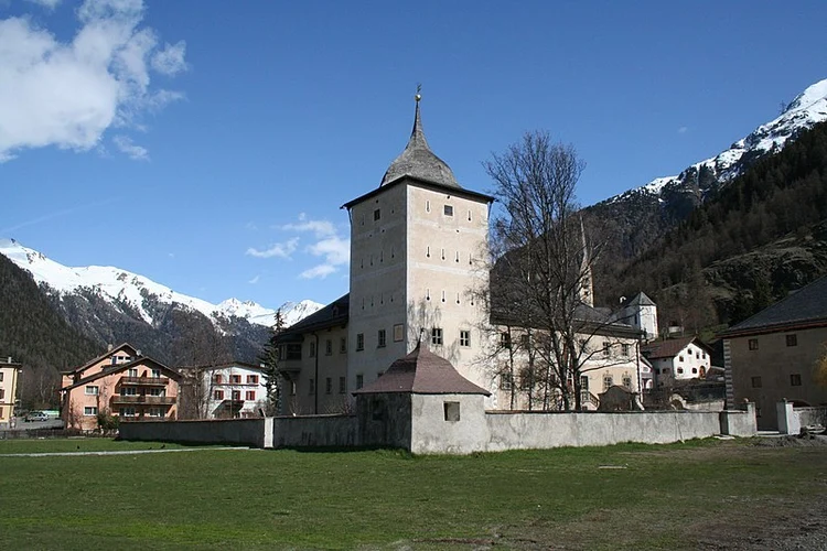
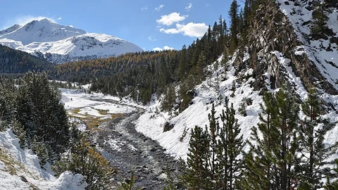
Check out some of the best hiking, walking and backpacking routes in Region Engiadina Bassa/Val Müstair, Switzerland. The Camino Müstair-Geneva via Interlaken is the most popular trail. The trails have 9 user reviews with great photos and information. There are trails of various difficulty levels including medium and difficult. The trail with the highest elevation climb is the Piz Quattervals and the trail with the least amount of climbing is the Via a l’En. The longest trail is the Camino Müstair-Geneva via Interlaken at 623.7 km. For a shorter adventure you can try the Punt la Drossa – Il Fuorn at 2.2 km. Get off line access to Bus Stop, Restaurant, Peak, and Water locations and much more with a Hiiker subscription.

Be prepared for hiking in Switzerland with the HiiKER app