The best hikes in Obersimmental-Saanen administrative district
Switzerland · 11 HiiKER Hikes
View Hikes on map
What to expect
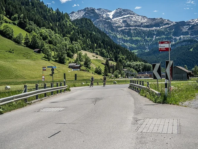
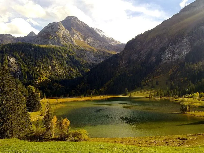
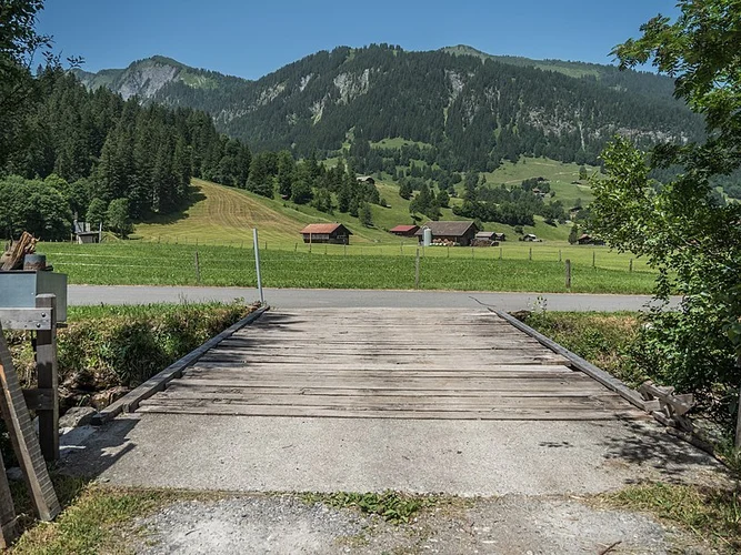
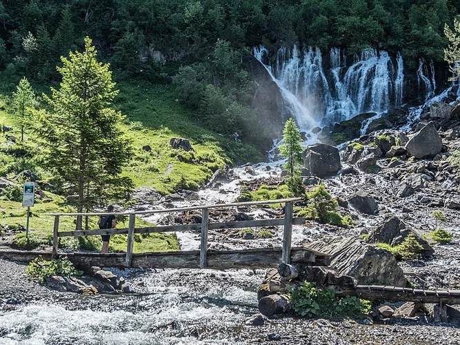
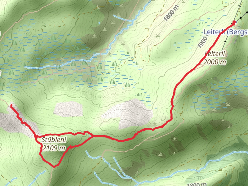
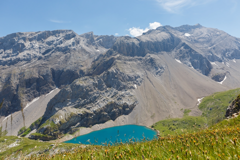
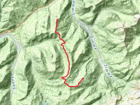
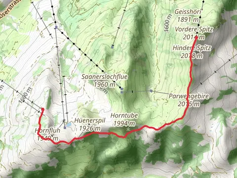
Check out some of the best hiking, walking and backpacking routes in Obersimmental-Saanen administrative district, Switzerland. The Siebenbrunnen-Weg is the most popular trail. The trail with the highest elevation climb is the Sanetsch-Muveran-Weg and the trail with the least amount of climbing is the Saane-Gstaad. The longest trail is the Sanetsch-Muveran-Weg at 41.5 km. For a shorter adventure you can try the Schönriederweg at 2.7 km. Get off line access to Restaurant, Peak, Water, and Bus Stop locations and much more with a Hiiker subscription.

Be prepared for hiking in Switzerland with the HiiKER app