The best hikes in Beckenried
Switzerland · 15 HiiKER Hikes
View Hikes on map


What to expect
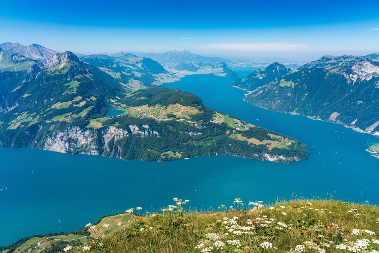
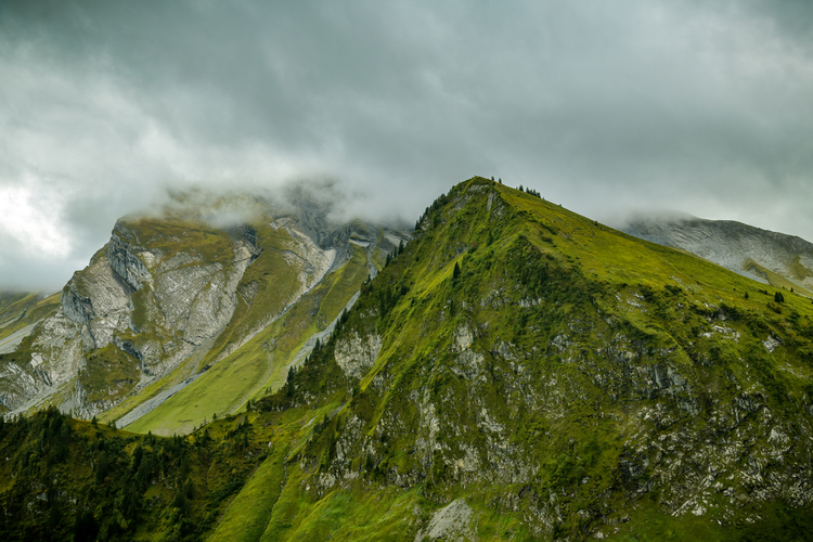
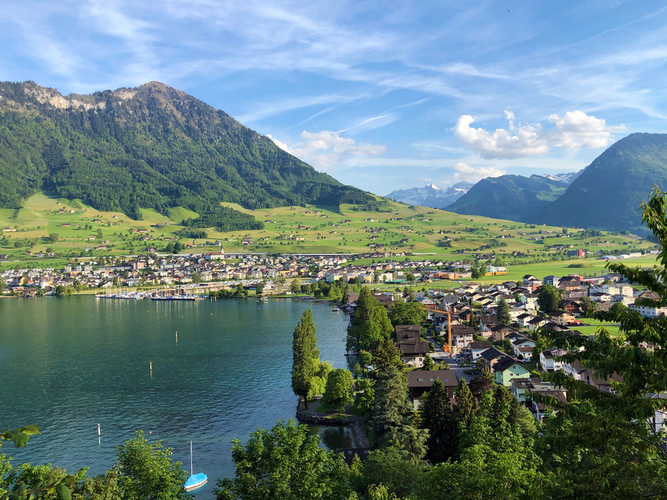
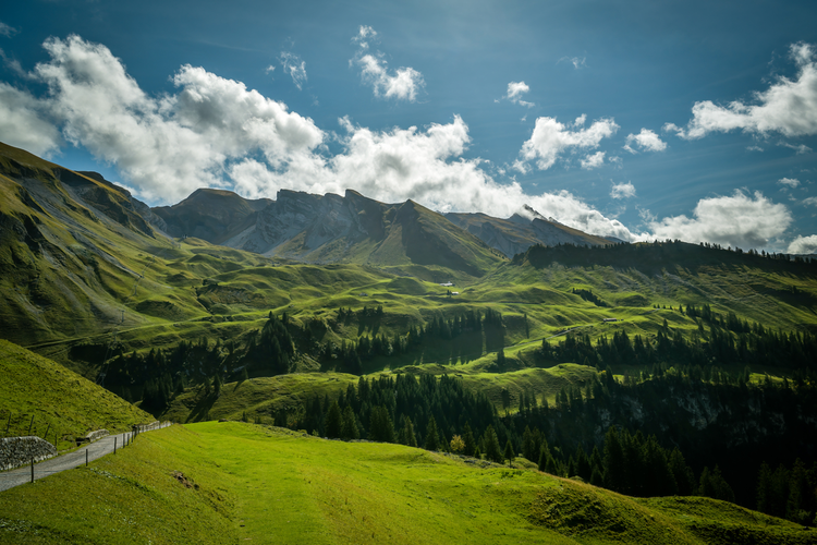
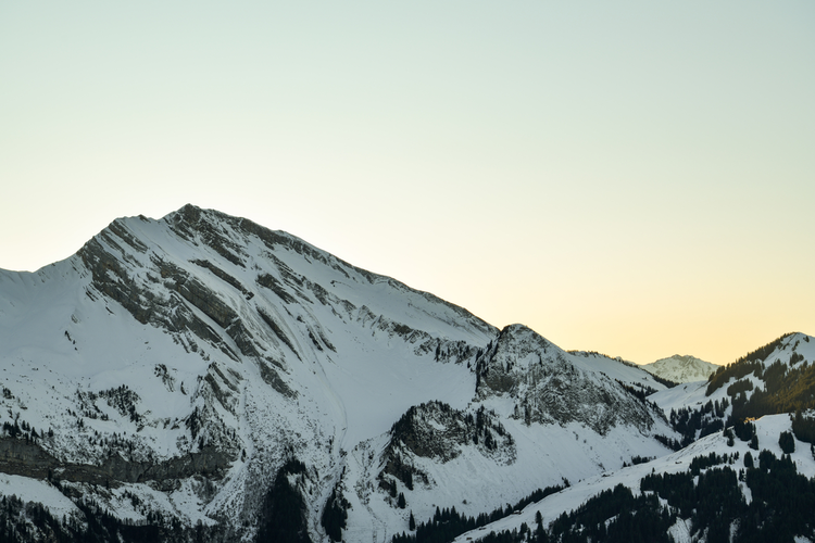
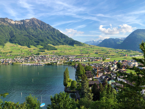
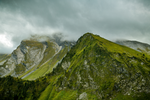
Check out some of the best hiking, walking and backpacking routes in Beckenried, Switzerland. The Bärfallen-Panorama-Weg is the most popular trail. The trail with the highest elevation climb is the Klewenalp to Gitschenen and the trail with the least amount of climbing is the Beckenried-Risletenschlucht-Treib. The longest trail is the Klewenalp to Beckenried at 20.4 km. For a shorter adventure you can try the Alpine Flower Trail - Klewenstock at 3.0 km. Get off line access to Peak, Bus Stop, Restaurant, and Water locations and much more with a Hiiker subscription.

Be prepared for hiking in Switzerland with the HiiKER app