The best hikes in Alpnach
Switzerland · 6 HiiKER Hikes
View Hikes on map


What to expect
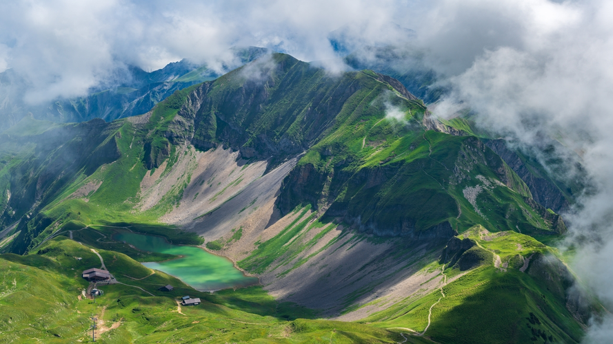
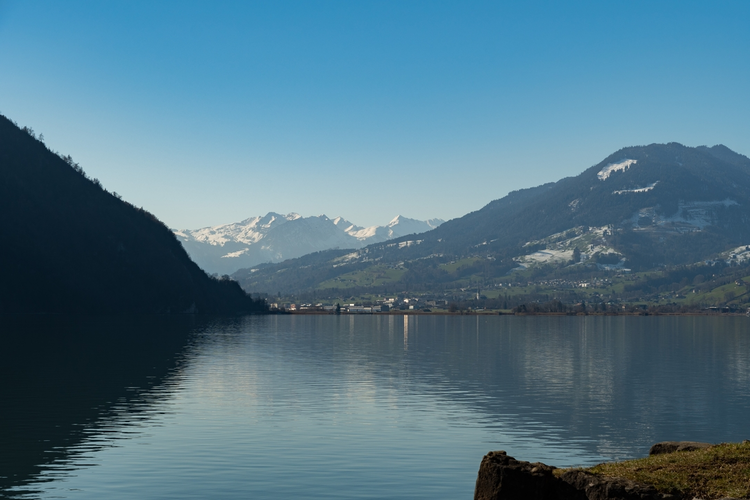
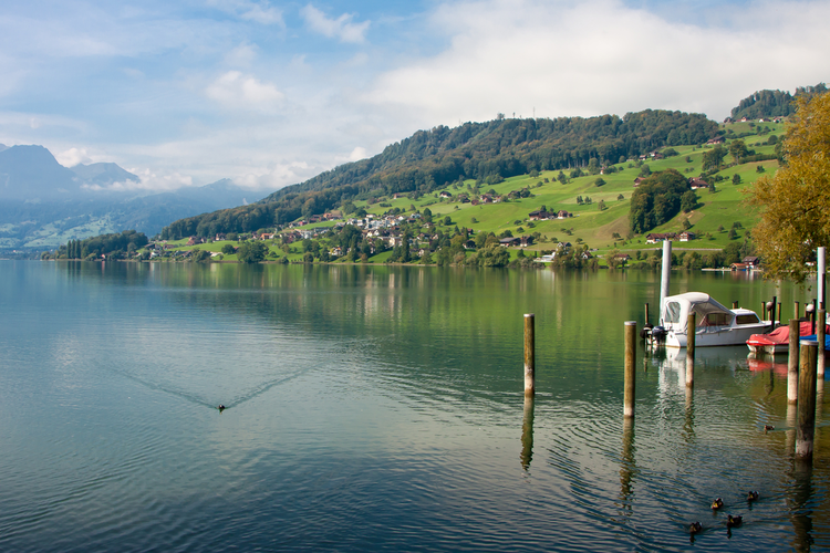
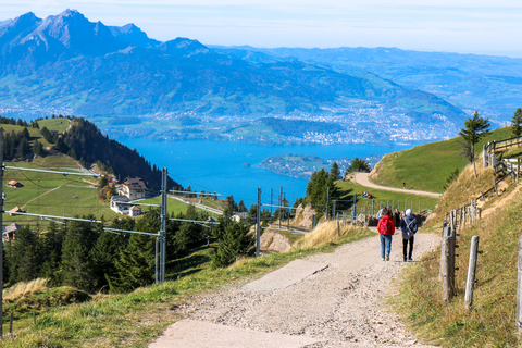
Check out some of the best hiking, walking and backpacking routes in Alpnach, Switzerland. The Obwaldner Höhenweg is the most popular trail. The trail with the highest elevation climb is the Obwaldner Höhenweg and the trail with the least amount of climbing is the Zingel on the Mueterschwandenberg. The longest trail is the Obwaldner Höhenweg at 98.2 km. For a shorter adventure you can try the Pilatus - Matthorn - Fräkmünt - Ämsigen at 9.8 km. Get off line access to Bus Stop, Peak, Restaurant, and Water locations and much more with a Hiiker subscription.

Be prepared for hiking in Switzerland with the HiiKER app