The best hikes in Albula
Switzerland · 9 HiiKER Hikes
View Hikes on map

What to expect
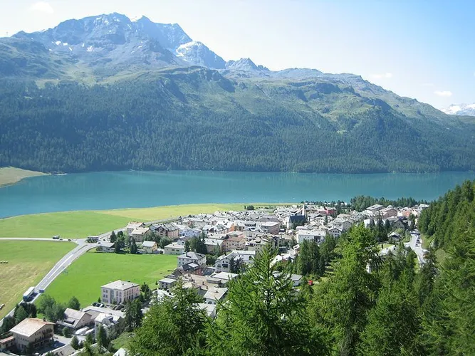
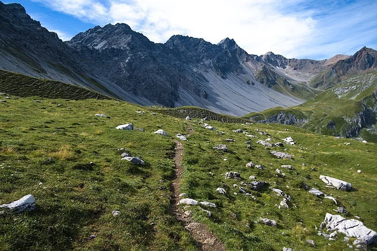
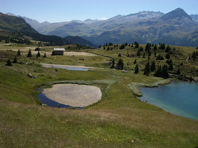
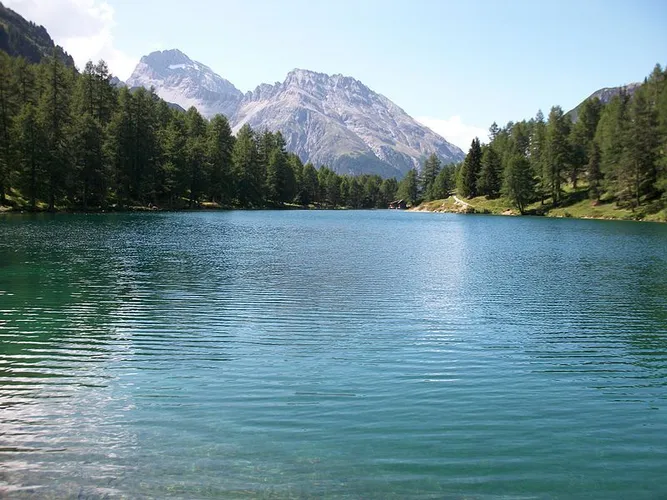
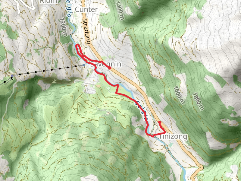
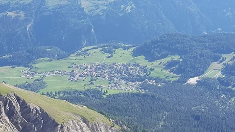
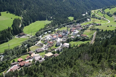
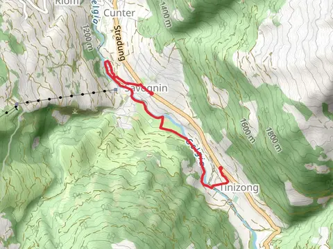
Check out some of the best hiking, walking and backpacking routes in Albula, Switzerland. The Maloja to Fuorcla Grevasalvas - Lagh dal Lunghin is the most popular trail. The trail with the highest elevation climb is the Igl Compass Loop from Preda and the trail with the least amount of climbing is the Julia Uferweg. The longest trail is the Senda Segantini at 70.7 km. For a shorter adventure you can try the Julia Uferweg at 4.7 km. Get off line access to Restaurant, Peak, Bus Stop, and Water locations and much more with a Hiiker subscription.

Be prepared for hiking in Switzerland with the HiiKER app