The best hikes in Ripollès
Spain · 5 HiiKER Hikes
View Hikes on map

What to expect
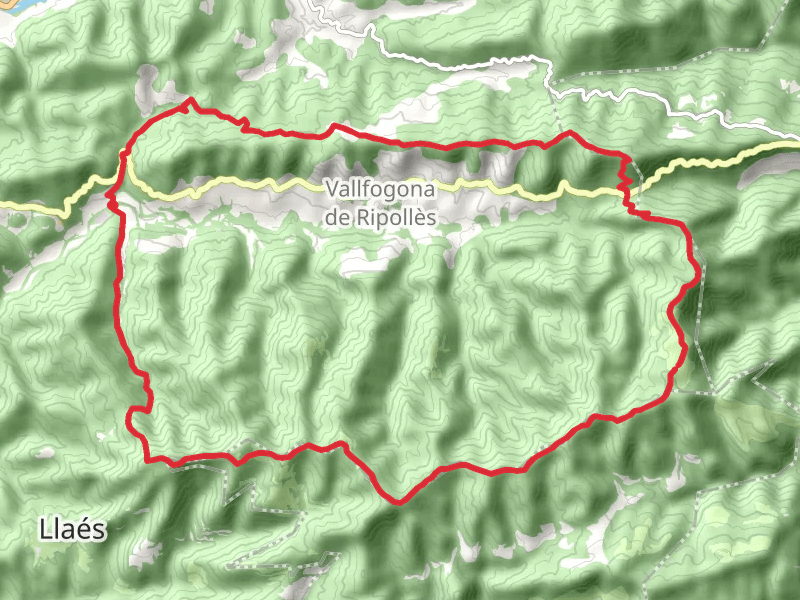
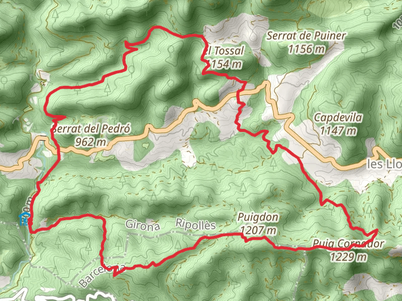
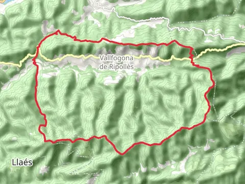
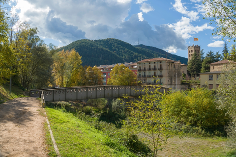
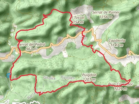
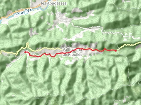
Check out some of the best hiking, walking and backpacking routes in Ripollès, Spain. The Vallfogona de Ripolles Trail PR C 59 is the most popular trail. There are trails of various difficulty levels including medium and difficult. The trail with the highest elevation climb is the Vallfogona de Ripolles Trail PR C 59 and the trail with the least amount of climbing is the Sant Roc Path SL C 11. The longest trail is the Vallfogona de Ripolles Trail PR C 59 at 28.9 km. For a shorter adventure you can try the Path of Santa María de Catllar or Route of the Sources SL C 12 at 8.4 km. Get off line access to History, Restaurant, Water, and Peak locations and much more with a Hiiker subscription.

Be prepared for hiking in Spain with the HiiKER app