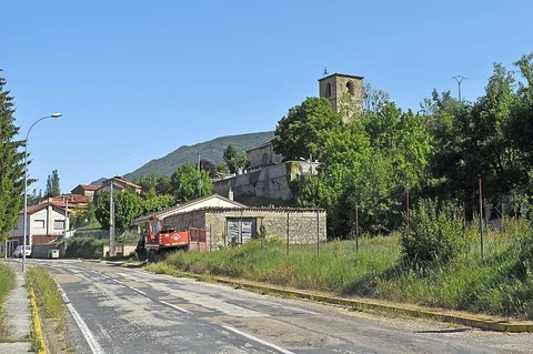
The best hikes in Merindad De Valdivielso
Spain · 4 HiiKER Hikes
View Hikes on map


What to expect
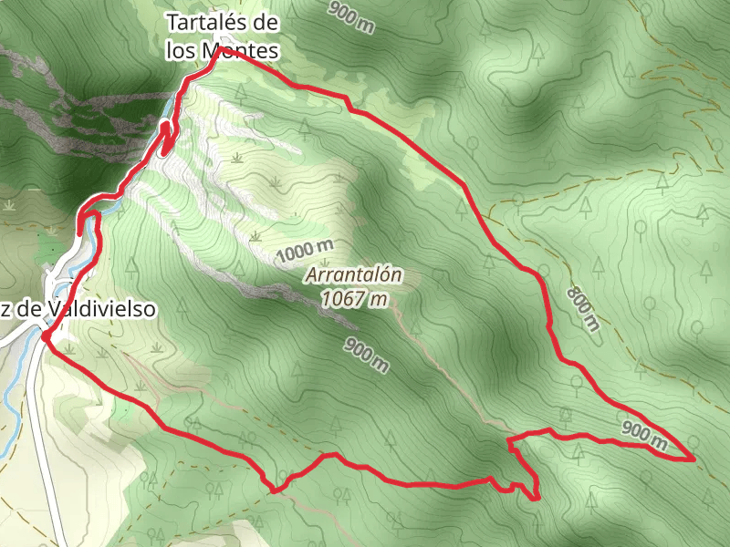
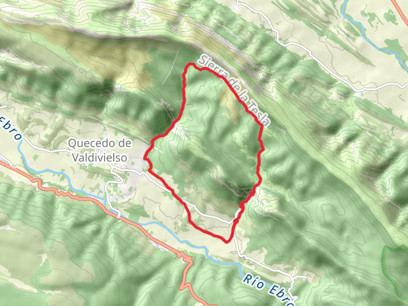
Check out some of the best hiking, walking and backpacking routes in Merindad De Valdivielso, Spain. The Tesla Trail, Arroyo Tartalés PR BU 180 is the most popular trail. The trail with the highest elevation climb is the Tesla Trail, Arroyo Tartalés PR BU 180 and the trail with the least amount of climbing is the Fuente Sagredo Trail PR BU 183. The longest trail is the Tesla Trail, Arroyo Tartalés PR BU 180 at 14.2 km. For a shorter adventure you can try the County Trail - Condando PR-BU 184 at 7.3 km. Get off line access to Restaurant, Peak, History, and Water locations and much more with a Hiiker subscription.

Be prepared for hiking in Spain with the HiiKER app