Download
Preview
Add to list
More
10.5 km
~2 hrs 26 min
211 m
Loop
“Embark on the Fuente Sagredo Trail, a historic and natural Spanish splendor teeming with wildlife and serene vistas.”
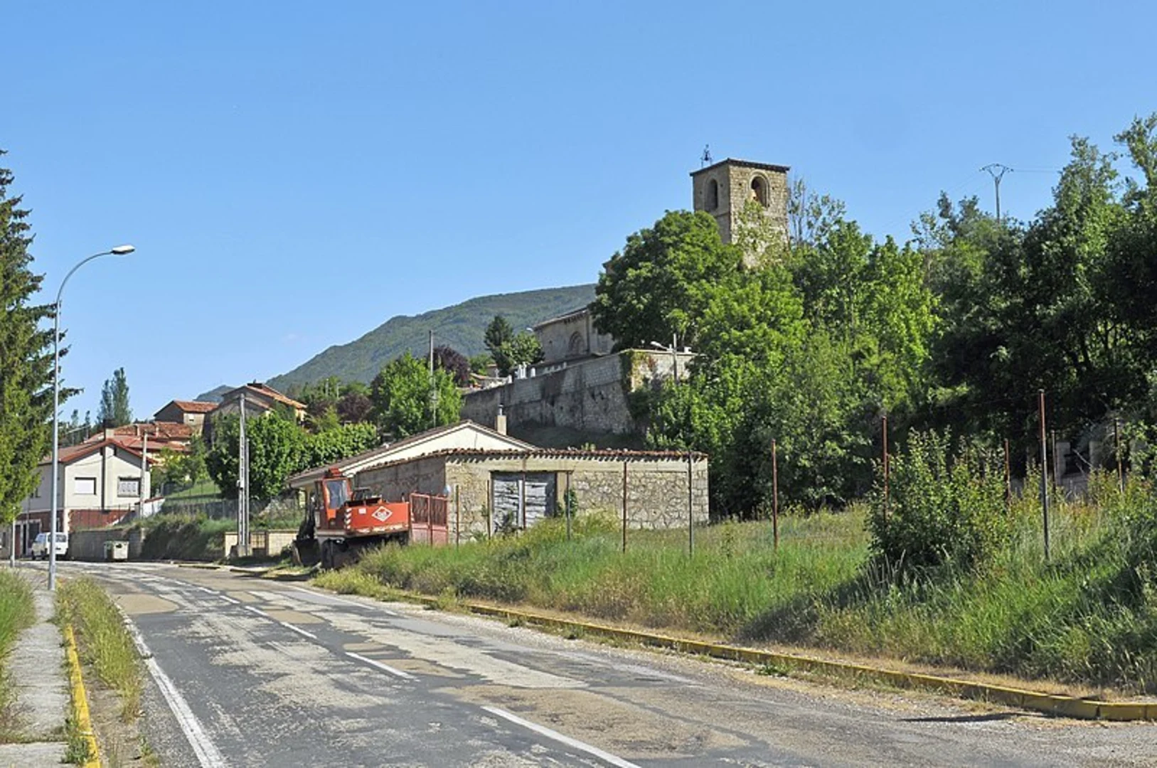
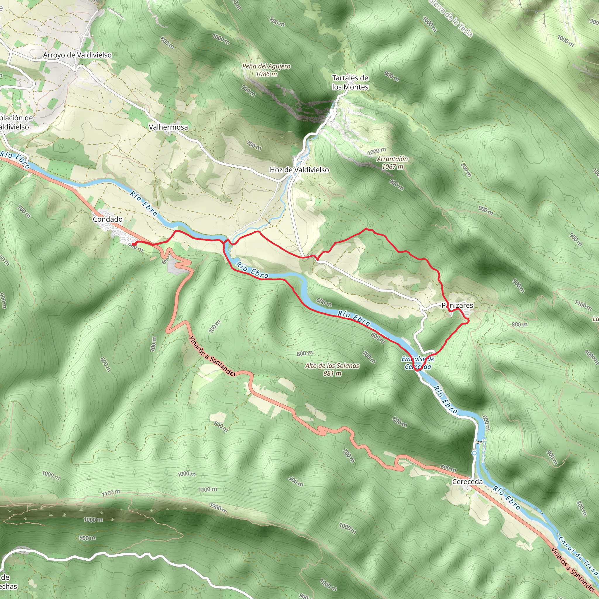
The Fuente Sagredo Trail PR BU 183 is a scenic loop that spans approximately 10 kilometers (around 6.2 miles) with an elevation gain of roughly 200 meters (about 656 feet), offering a medium difficulty level for hikers. This trail is nestled in the picturesque region of Merindad De Valdivielso in Spain, known for its rich history and natural beauty.
Starting near the quaint village of Merindad De Valdivielso, the trailhead is accessible by car, with parking available in the vicinity. For those opting for public transport, buses from nearby cities often stop in the village, from where the trailhead is a short walk.
Navigating the Trail
As you embark on the Fuente Sagredo Trail, you can rely on the HiiKER app for precise navigation and trail information. The path is well-marked, guiding hikers through a diverse landscape that includes rolling hills, lush forests, and tranquil streams. The initial segment of the trail gently ascends through a mixed forest, where the dappled sunlight filters through the canopy above.
Historical Significance and Landmarks
The area surrounding the trail is steeped in history, with the Valdivielso Valley having been an important cultural and religious center during the Middle Ages. As you hike, you'll encounter various landmarks that echo the past, including ancient hermitages, traditional stone bridges, and the remnants of old water mills.
Approximately halfway through the hike, you'll reach the trail's namesake, the Fuente Sagredo, a natural spring that has been a local gathering spot for centuries. This is an ideal place to rest and enjoy the serene atmosphere before continuing on the loop.
Flora and Fauna
The trail offers an opportunity to observe the region's diverse wildlife. Keep an eye out for various bird species, including birds of prey that soar above the valley. The area is also home to a variety of plant species, with wildflowers blooming in the spring and summer months, adding a splash of color to the green landscape.
Final Ascent and Descent
As you approach the final stages of the hike, the trail ascends to its highest point, providing panoramic views of the surrounding valley and the Ebro River. The descent back to the trailhead is gradual, allowing for a leisurely pace as you complete the loop.
Preparation and Planning
Before setting out, ensure you have adequate water, as the climate can be warm, especially during the summer months. Sturdy hiking boots are recommended due to the uneven terrain in certain sections of the trail. It's also advisable to carry a light jacket, as the weather can change quickly in the mountains.
To reach the trailhead, if driving, set your GPS for Merindad De Valdivielso, where you'll find signage directing you to the starting point of the Fuente Sagredo Trail. Public transport users should check the latest bus schedules to the village and plan accordingly.
Remember to respect the natural environment by staying on the marked paths and carrying out all trash. This ensures the trail remains pristine for future visitors and the local wildlife.
Comments and Reviews
User comments, reviews and discussions about the Fuente Sagredo Trail PR BU 183, Spain.
average rating out of 5
0 rating(s)

