Download
Preview
Add to list
More
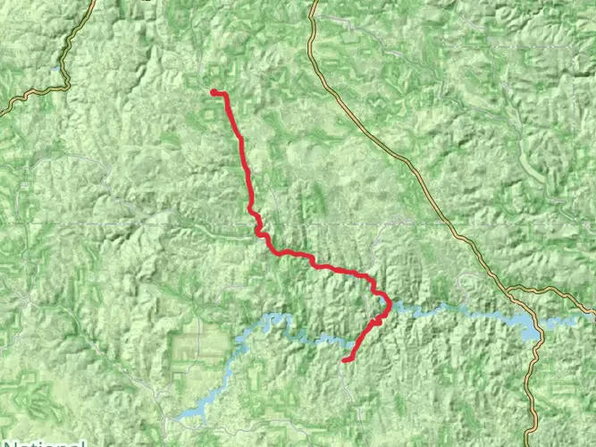
171.2 km
~6 days
1311 m
Multi-Day
“Traverse South Dakota's Black Hills on the historic, scenic George S. Mickelson Trail, a haven for diverse outdoor activities.”
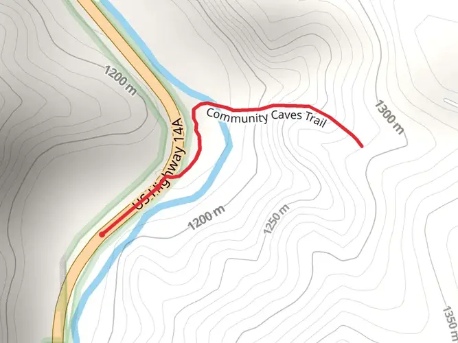
Spanning approximately 171 kilometers (106 miles) and with an elevation gain of around 1300 meters (4265 feet), the George S. Mickelson Trail offers an immersive experience through the heart of South Dakota's Black Hills. This point-to-point trail is a converted railroad bed that has been repurposed as a multi-use path, making it accessible for hikers, cyclists, and horseback riders.
Getting to the Trailhead
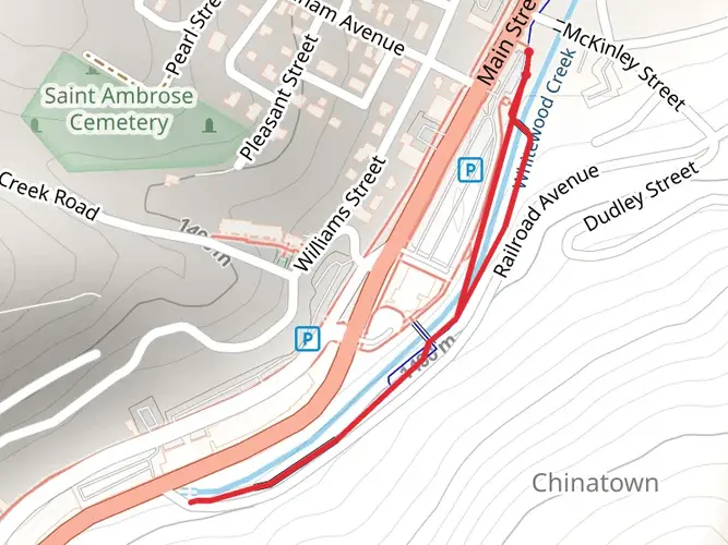
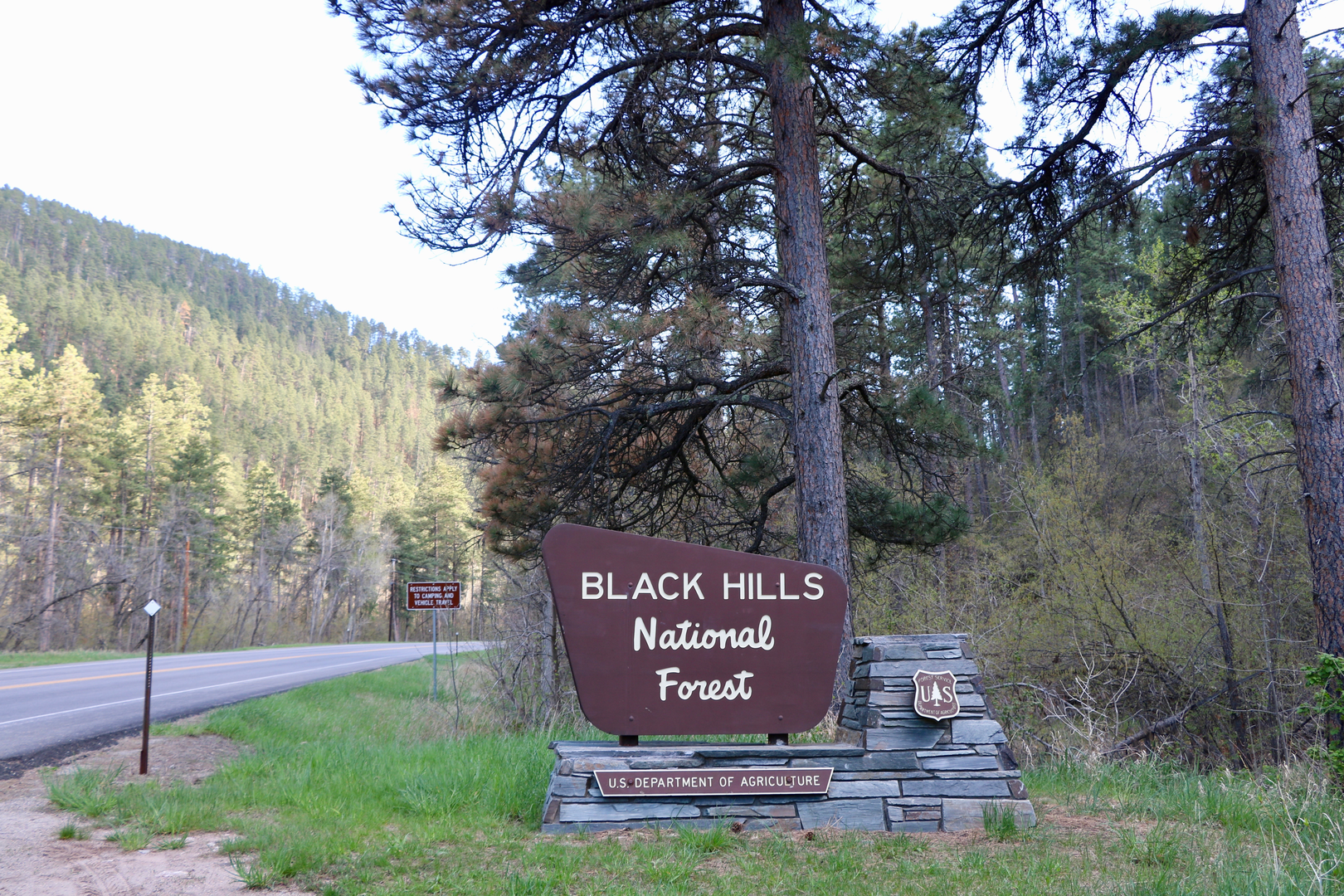
The northern trailhead is located near the town of Deadwood in Lawrence County, South Dakota. For those driving, you can reach Deadwood by taking US Highway 385. If you're using public transportation, the nearest significant city with bus services is Rapid City, from where you can find local options to reach Deadwood.
Trail Experience
As you embark on the trail, you'll be greeted by the dense ponderosa pine forests that are characteristic of the Black Hills. The trail surface is primarily crushed limestone and gravel, providing a firm footing for most of its length. The gentle grade, not exceeding 4%, makes for a moderate hiking experience, suitable for many skill levels.
Historical Significance and Landmarks
The trail is named after George S. Mickelson, the former governor of South Dakota, and is rich in history. It follows the historic Deadwood to Edgemont Burlington Northern rail line. Along the route, you'll encounter more than 100 converted railroad bridges and four hard rock tunnels, offering a glimpse into the area's past.
One of the most notable landmarks is the Crazy Horse Memorial, which is located off the trail near Custer. This colossal mountain carving, still in progress, is dedicated to the Lakota leader Crazy Horse. The trail also passes through the town of Hill City, known for its quaint shops and the South Dakota State Railroad Museum.
Wildlife and Nature
The Black Hills are home to an abundance of wildlife. As you hike, keep an eye out for deer, elk, and wild turkeys. Birdwatchers will appreciate the variety of species, from raptors to songbirds. The trail also offers a display of wildflowers in the spring and a colorful palette of foliage in the fall.
Navigation and Planning
For navigation along the trail, HiiKER is a useful tool to have on hand. It can help you plan your hike, providing detailed maps and waypoints. Be sure to download the trail maps before you set out, as cell service can be spotty in the more remote sections of the trail.
Preparation and Amenities
There are several trailheads and access points along the route, allowing for various entry and exit points. This flexibility makes it possible to plan shorter day hikes or tackle the entire trail in sections. Water and restrooms are available at many of the trailheads, but it's wise to carry plenty of water and snacks, especially during the warmer months.
Elevation and Climate
The highest point of the trail is near the town of Rochford, at an elevation of approximately 1,829 meters (6,000 feet). The climate in the Black Hills can be variable, with warm summers and cold, snowy winters. It's important to check the weather forecast and prepare accordingly, with layers and appropriate gear for the season.
Conclusion
The George S. Mickelson Trail is a journey through natural beauty, history, and the welcoming communities of the Black Hills. Whether you're looking for a leisurely walk, a challenging bike ride, or a multi-day hiking adventure, this trail offers a memorable experience for outdoor enthusiasts of all levels.

Activity types
Comments and Reviews
User comments, reviews and discussions about the George S Mickelson Trail, South Dakota.
4.55
average rating out of 5
47 rating(s)