The best hikes in Lexington County
South Carolina · 14 HiiKER Hikes
View Hikes on map

What to expect
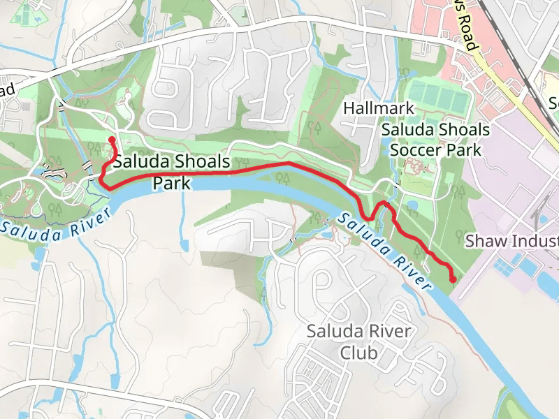
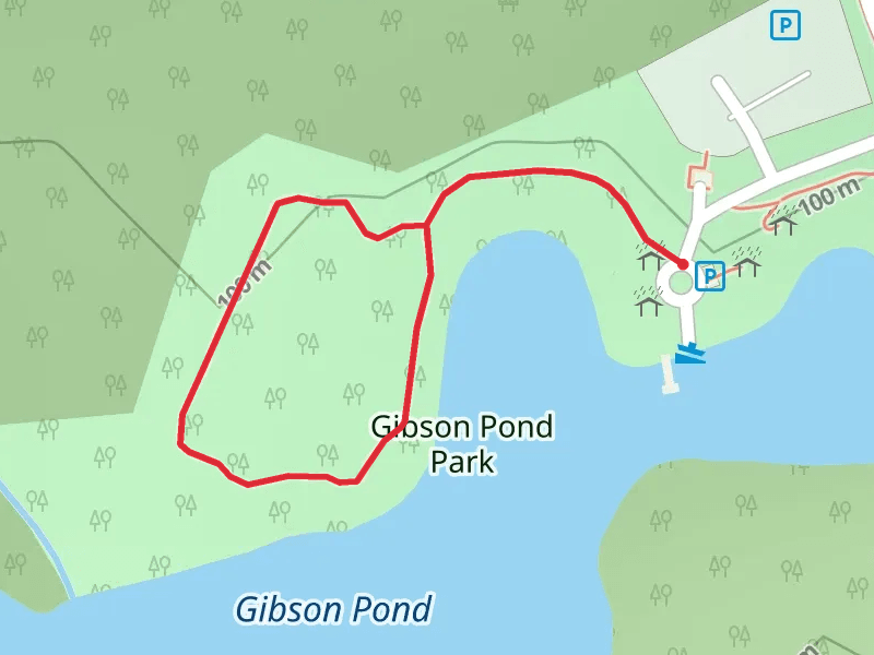
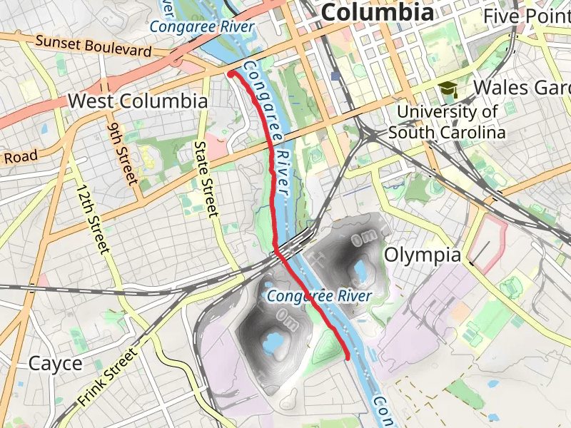
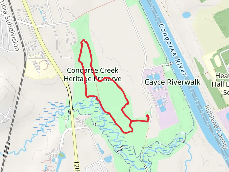
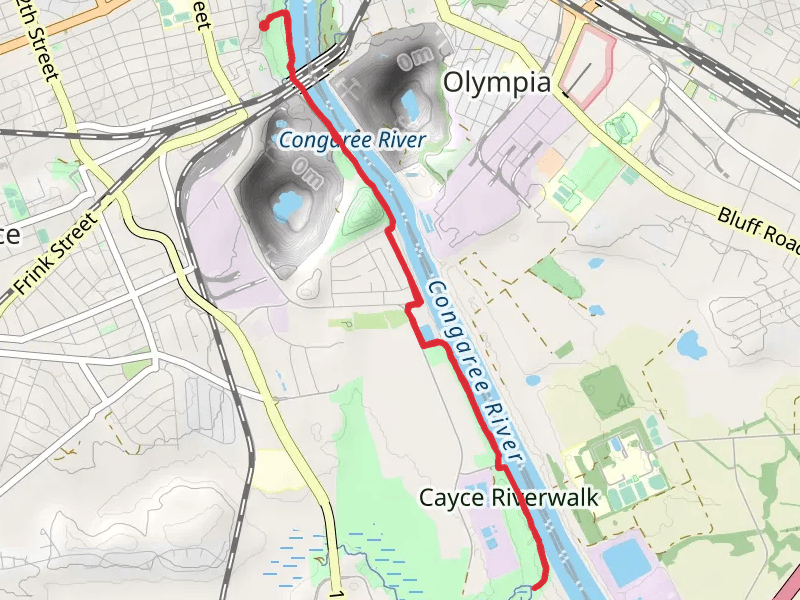
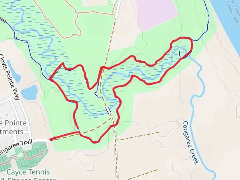
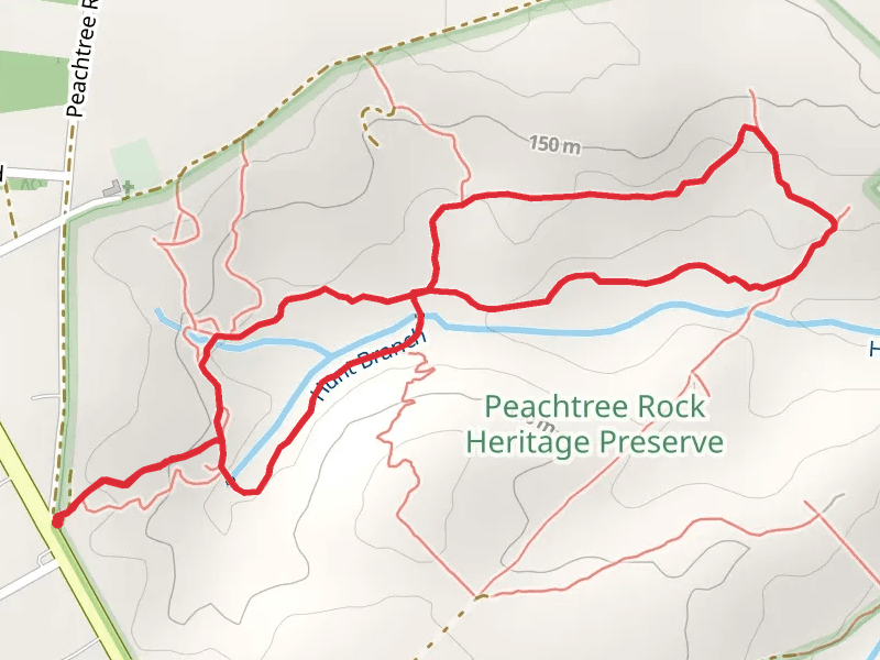
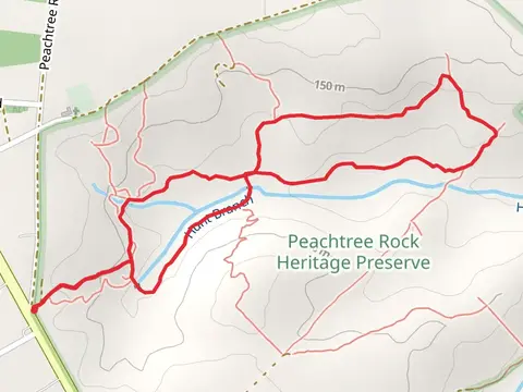
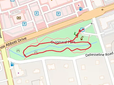
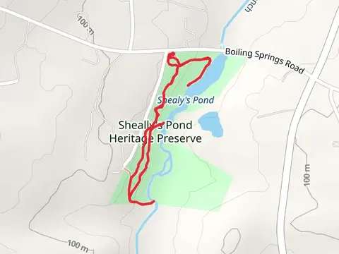
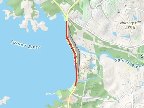
Check out some of the best hiking, walking and backpacking routes in Lexington County, South Carolina. The Saluda River - Saluda Shoals Park is the most popular trail. The trails have 993 user reviews with great photos and information. The trail with the highest elevation climb is the Hunt Branch Loop and the trail with the least amount of climbing is the Guignard Clay Quarry Loop Trail. The longest trail is the Cayce Riverwalk at 11.8 km. For a shorter adventure you can try the Guignard Park Loop at 695 m. Get off line access to Shop, Shelter, Fastfood, and Restaurant locations and much more with a Hiiker subscription.

Be prepared for hiking in South Carolina with the HiiKER app