The best hikes in The Scottish Borders
Scotland · 6 HiiKER Hikes
View Hikes on map


What to expect
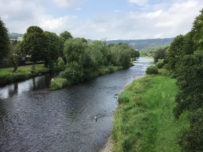
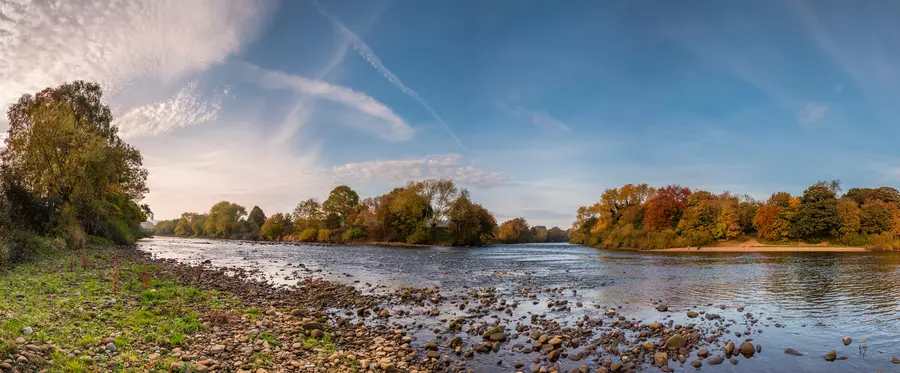
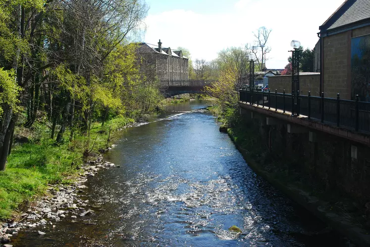
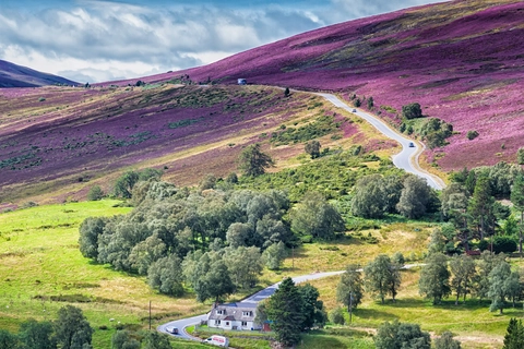
Check out some of the best hiking, walking and backpacking routes in The Scottish Borders, Scotland. The Scottish National Trail is the most popular trail. The trails have 158 user reviews with great photos and information. There are trails of various difficulty levels including easy and medium. The trail with the highest elevation climb is the Scottish National Trail and the trail with the least amount of climbing is the River Tyne North via River Tyne Trail. The longest trail is the Scottish National Trail at 866.7 km. For a shorter adventure you can try the Gala Loop via Upland Way at 28.8 km. Get off line access to Bus Stop, Shop, History, and Peak locations and much more with a Hiiker subscription.

Be prepared for hiking in Scotland with the HiiKER app