The best hikes in Dumfries and Galloway
Scotland · 76 HiiKER Hikes
View Hikes on map
What to expect
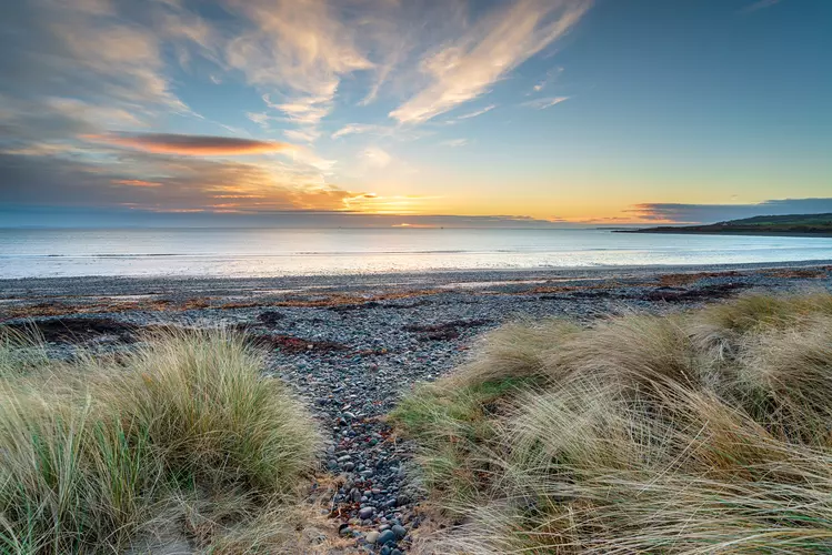
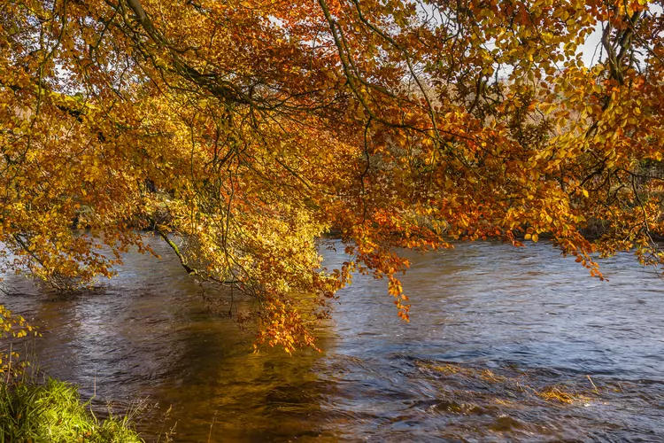
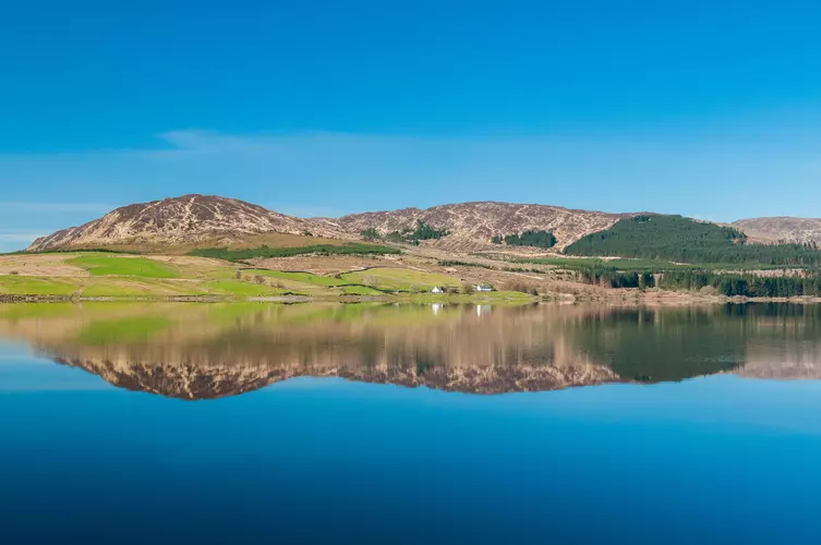
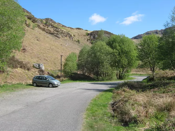
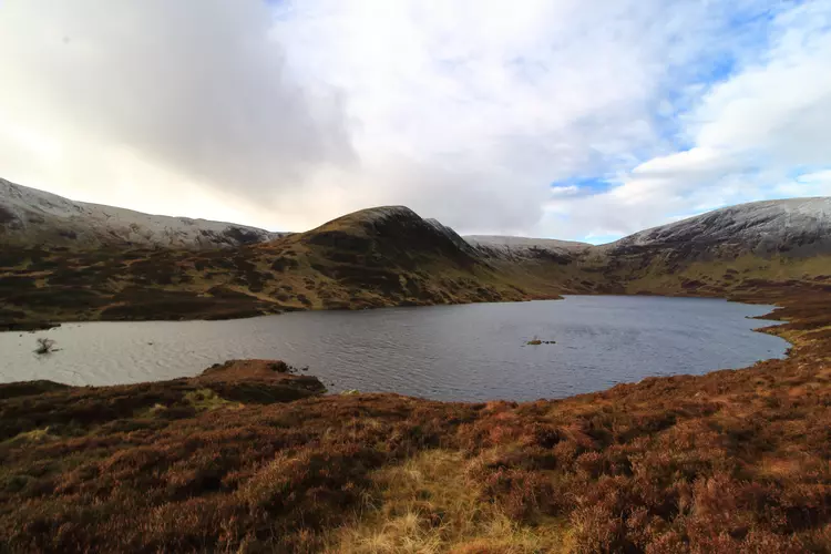
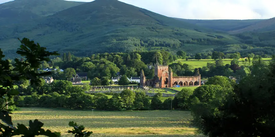
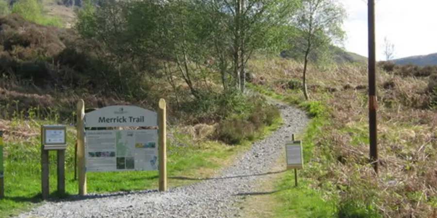
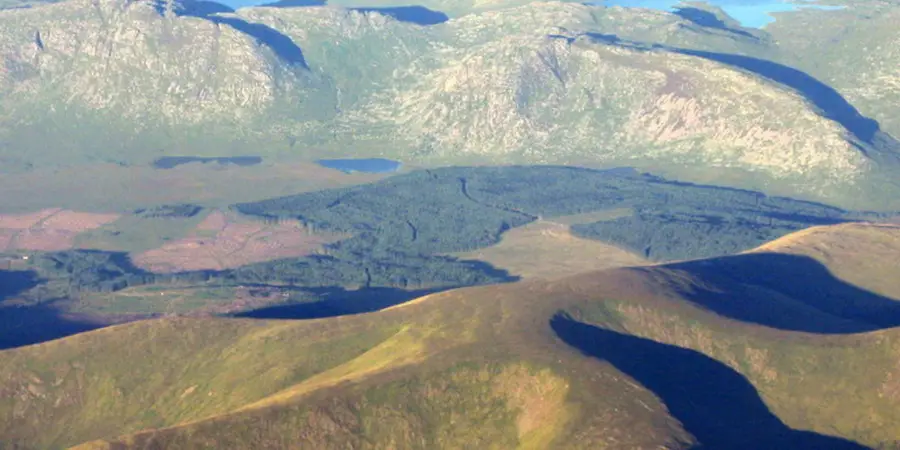
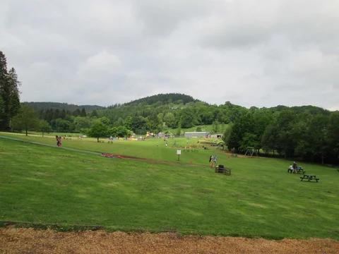
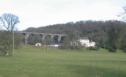
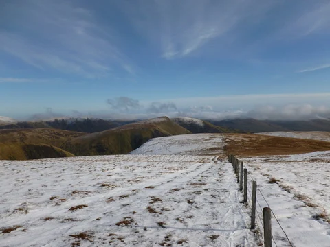
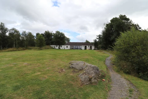
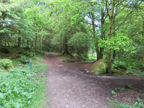
Check out some of the best hiking, walking and backpacking routes in Dumfries and Galloway, Scotland. The Southern Upland Way is the most popular trail. The trails have 1595 user reviews with great photos and information. There are trails of various difficulty levels including easy, medium, difficult, and extra difficult. The trail with the highest elevation climb is the Stranraer to Middleton in Teesdale Walk and the trail with the least amount of climbing is the Wild Watch Trail - Kirroghtree Park. The longest trail is the Stranraer to Middleton in Teesdale Walk at 504.6 km. For a shorter adventure you can try the Orchard Loop - Marbie Park at 1.2 km. Get off line access to Bus Stop, History, Water, and Peak locations and much more with a Hiiker subscription.

Be prepared for hiking in Scotland with the HiiKER app