Stevenson Way
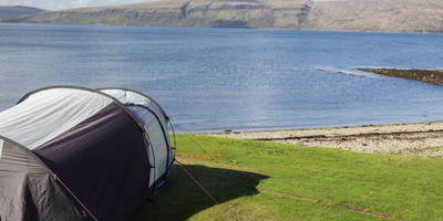
Loch Lomond And The Trossachs National Park · Argyll and Bute, Scotland
439.3 km
~21 day
12503 m
"An epic challenge to remember from the heart of Argyll and Bute"
The Stevenson Way is a 439.3 km looped trail that starts and ends in , Argyll and Bute, Scotland. Based on our data, the trail is graded as Difficult. For information on how we grade trails, please read measuring the difficulty of a hiking trail on hiiker. Also, check our latest community posts for trail updates.
This trail can be completed in approx 24 days. Caution is advised on trail times as this depends on multiple variables. For more info read about how we calculate hike time.

Reviews
User comments, reviews and discussions about the Stevenson Way, Scotland.
4.0
average rating out of 5
20 rating(s)