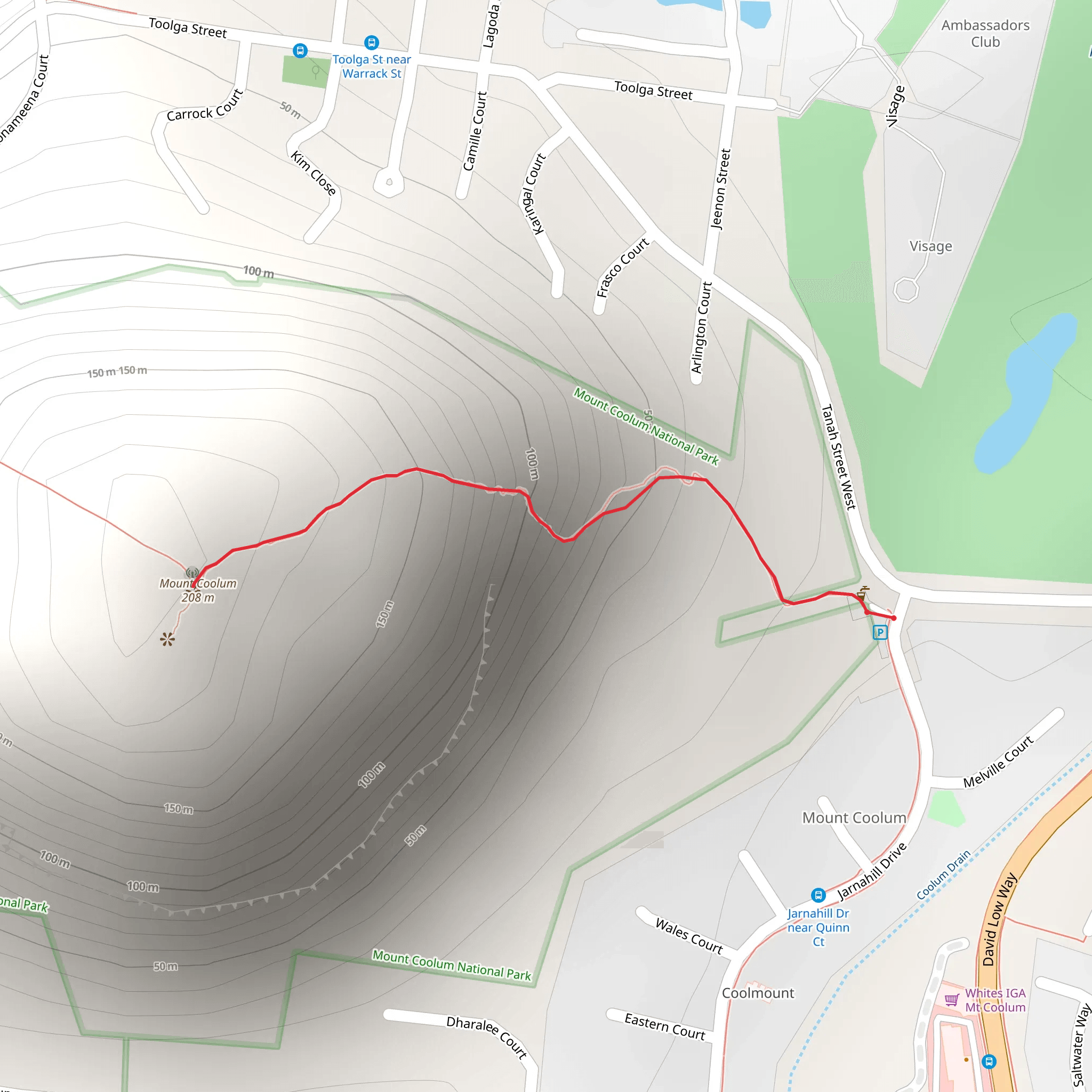
Found in Mount Coolum National Park, the short, sharp hike up this volcanic dome to its summit is not to be missed. Mount Coolum is a laccolith and was formed some 26 million years ago when a dome-shaped bulge of magma cooled slowly beneath the Earth’s surface. It is the second largest rock in the world (after Uluru) and rises to 682 ft. The wraparound views of the Sunshine Coast and Queensland’s golden beaches from the summit on one side and the hills and green valleys on the other are fantastic and with its rare plants, lots of bird life and beautiful wildflowers in springtime, it really is an awesome trail and a must-do if in the vicinity. To get there from the town of Coolum Beach, take the David Low Way for about 4 miles, the car park is near the road junction of Jarnahill Drive and Tanah Street. There is also some off-road parking on these streets, this is a very popular hike so the car park fills up quickly. From here just follow the National Park and Wildlife signs onto the track, much of which has been paved and stepped due to erosion from so many feet. An out-and-back trail of just one mile, it is popular with day trippers, hikers and trail runners, so pick your times if solitude is your thing! Early morning and late afternoon will ensure beautiful sunrises and sunsets. Starting out as a pleasant hike through the forest and native bushland the track soon becomes quite steep as it begins to climb up the rock face, which can be rather slippery when wet so have appropriate footwear. Graded as being of medium difficulty, youngsters and older people should be capable of hiking it, just note that there are many steps to climb, making it unsuitable for wheelchairs or pushchairs. For information on how we grade trails, please click here. It can be completed in about an hour, although caution is advised on trail times as this depends on multiple variables. For more info, click here.Take sun cream along as the summit is exposed as well as plenty of water. Dogs are not permitted on this trail.