The best hikes in Scenic Rim Regional
Queensland · 25 HiiKER Hikes
View Hikes on map
What to expect
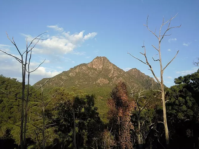
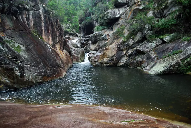
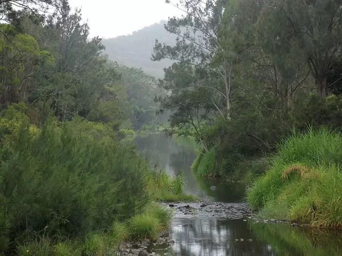
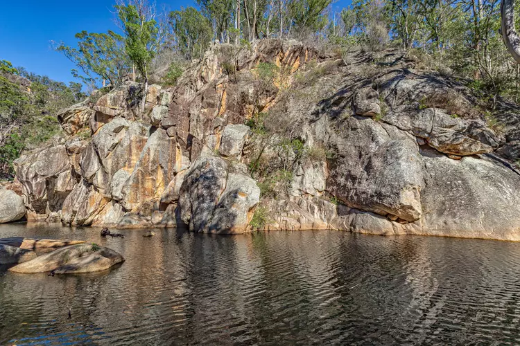
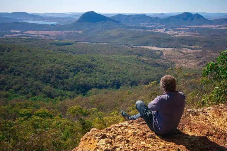
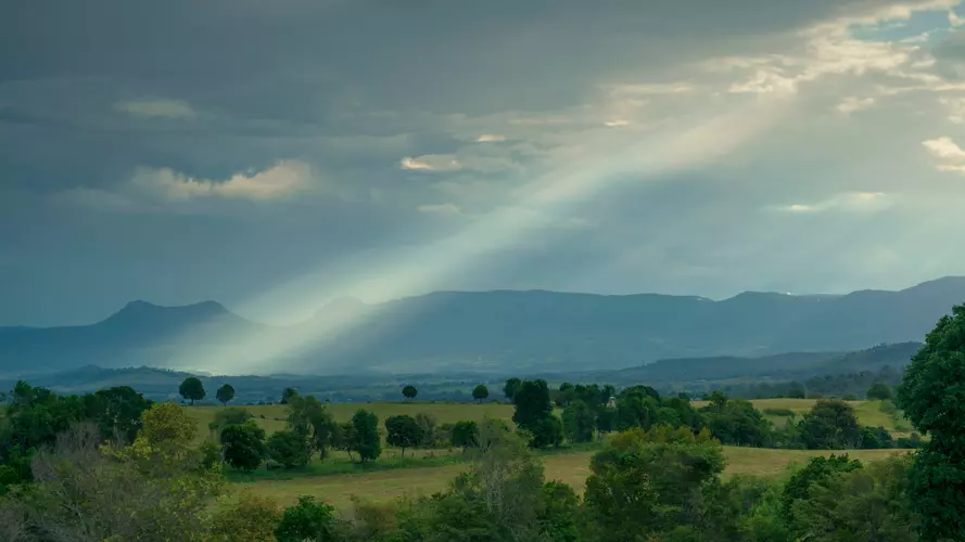
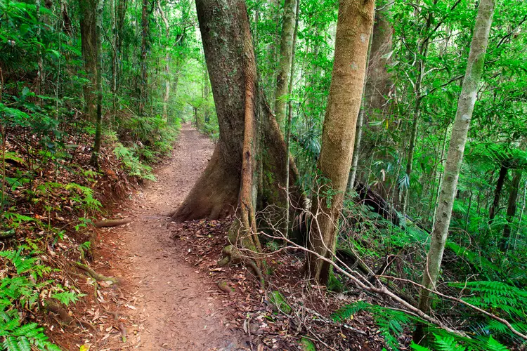
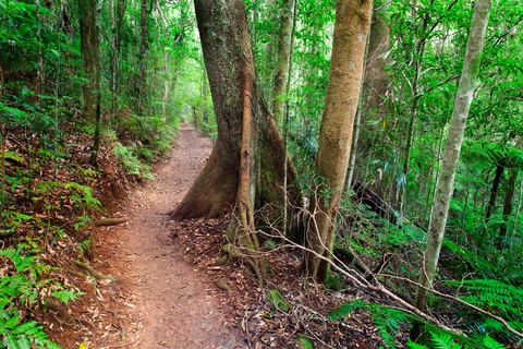
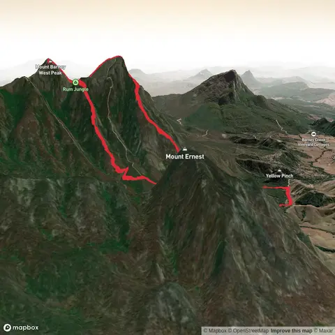
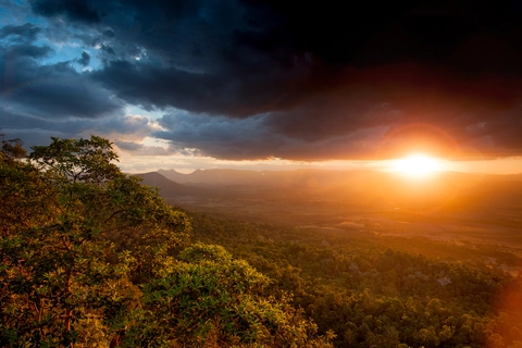
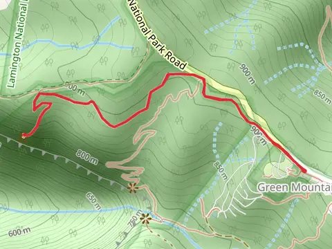
Check out some of the best hiking, walking and backpacking routes in Scenic Rim Regional, Queensland. The Tullawallal Circuit Track is the most popular trail. There are trails of various difficulty levels including medium, difficult, and extra difficult. The trail with the highest elevation climb is the Mount Barney Trail and the trail with the least amount of climbing is the Lower Portals Track. The longest trail is the Mount Hobwee Circuit Track at 20 km. For a shorter adventure you can try the North Cliff Track at 1 km. Get off line access to Shelter, Water, Viewpoint, and Peak locations and much more with a Hiiker subscription.

Be prepared for hiking in Queensland with the HiiKER app