Download
Preview
Add to list
More
3.8 km
~1 hrs 1 min
162 m
Out and Back
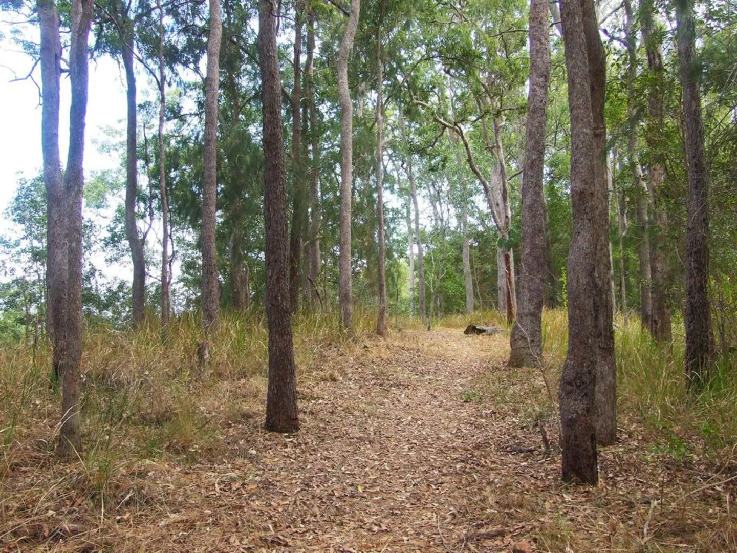
“The Cedar Grove Track is a rugged, steep trail rich in natural splendor and historical intrigue.”
The Cedar Grove Track, nestled near Mackay Regional in Queensland, offers an invigorating hiking experience for those seeking a challenge amidst natural beauty. Spanning approximately 4 kilometers (about 2.5 miles) with an elevation gain of around 100 meters (328 feet), this out-and-back trail is not for the faint-hearted, as it's estimated to be difficult due to its steep sections and rugged terrain.
Getting to the Trailhead
To reach the starting point of the Cedar Grove Track, hikers can drive to the vicinity of the Mackay Regional Botanic Gardens, which is the nearest significant landmark. There is parking available here, and from there, it's a short walk to the trailhead. For those relying on public transport, buses service the area around the Botanic Gardens, and from the nearest bus stop, it's a manageable walk to where the trail begins.
Navigating the Trail
As you embark on the Cedar Grove Track, you'll be enveloped by the dense rainforest canopy that characterizes the region. The path is well-defined but can be challenging with its steep inclines and occasional loose rocks, so proper hiking boots are recommended. Hikers can use the HiiKER app to navigate the trail, ensuring they stay on the correct path and can anticipate upcoming changes in terrain.
Flora and Fauna
The trail is a haven for wildlife enthusiasts, with the lush forest home to a diverse range of bird species, including the vibrant Wompoo fruit-dove and the elusive Eungella honeyeater. Keep an eye out for the unique flora as well, such as the Mackay tulip oak and the rare Acacia celsa, or 'Whitewood', which are native to this part of Queensland.
Historical Significance
The area surrounding the Cedar Grove Track is steeped in history. The indigenous Yuwibara people originally inhabited the region, and evidence of their presence can be seen in the various cultural sites along the trail. The track also passes through areas that were once part of the thriving sugar cane industry in the late 19th and early 20th centuries.
Landmarks and Lookouts
Approximately halfway through the hike, you'll reach a lookout offering breathtaking views of the Pioneer Valley and the distant Clarke Range. This is an ideal spot to rest and take in the scenery before continuing on the trail. As you approach the turnaround point, the dense forest gives way to a clearing where the Cedar Grove itself is located, featuring a serene grove of cedar trees that the track is named after.
Preparation and Safety
Given the trail's difficulty rating, it's essential to come prepared with plenty of water, snacks, and a first-aid kit. The tropical climate means that the weather can change rapidly, so rain gear and layers are advisable. Always let someone know your hiking plans and expected return time, as the remote nature of the trail means that help may not be immediately available in case of an emergency.
By following these guidelines and respecting the natural environment, hikers can enjoy a safe and memorable experience on the Cedar Grove Track, taking in the rich history and stunning landscapes that make this region unique.

Activity types
Comments and Reviews
User comments, reviews and discussions about the Cedar Grove Track, Queensland.
average rating out of 5
0 rating(s)