Download
3D Flyover
Add to list
More
304.3 km
~12 days
4583 m
Multi-Day
“Experience the Via Algarviana's blend of scenic vistas, cultural depth, and historic intrigue.”
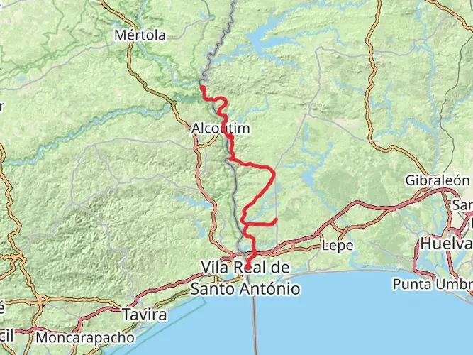
Spanning approximately 304 kilometers (about 189 miles) with an elevation gain of around 4500 meters (nearly 14,764 feet), the Via Algarviana is a long-distance trail that traverses the Algarve region of Portugal. Starting near the quaint town of Alcoutim, close to the Spanish border, and ending at the Cape St. Vincent lighthouse, the southwesternmost point of Portugal and continental Europe, this trail offers a unique blend of natural beauty, cultural heritage, and rural charm.
Getting to the Trailhead To reach the starting point near Alcoutim, hikers can drive or take public transportation. The nearest significant landmark to the trailhead is the Castle of Alcoutim, a historical site overlooking the Guadiana River. If traveling by bus, services from larger towns such as Faro to Alcoutim are available, though they may be infrequent. It's advisable to check the latest schedules and plan accordingly.
Navigating the Trail The Via Algarviana is well-marked with red and white stripes, and hikers can use the HiiKER app for detailed maps and navigation assistance. The trail is divided into sections, each offering different experiences and challenges.
Natural Landscapes and Wildlife As you embark on the Via Algarviana, expect to traverse through diverse landscapes including rolling hills, dense forests, and agricultural land. The trail takes you through the Serra do Caldeirão, where cork oak trees are abundant, and the Serra de Monchique, known for its chestnut and eucalyptus trees. The region is rich in biodiversity, and you might spot various bird species, such as the Iberian imperial eagle and the azure-winged magpie.
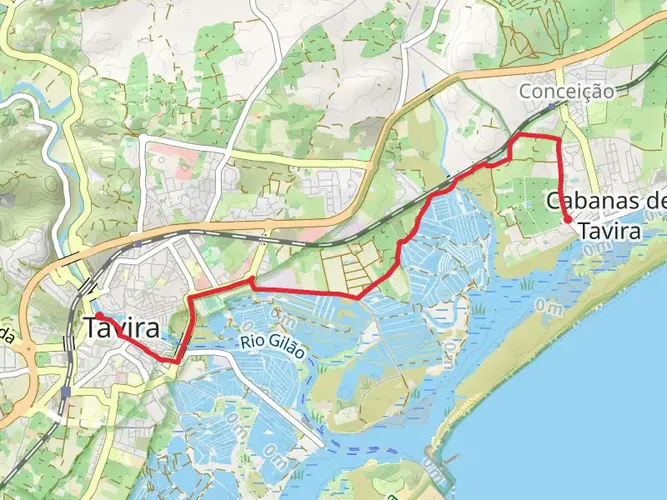
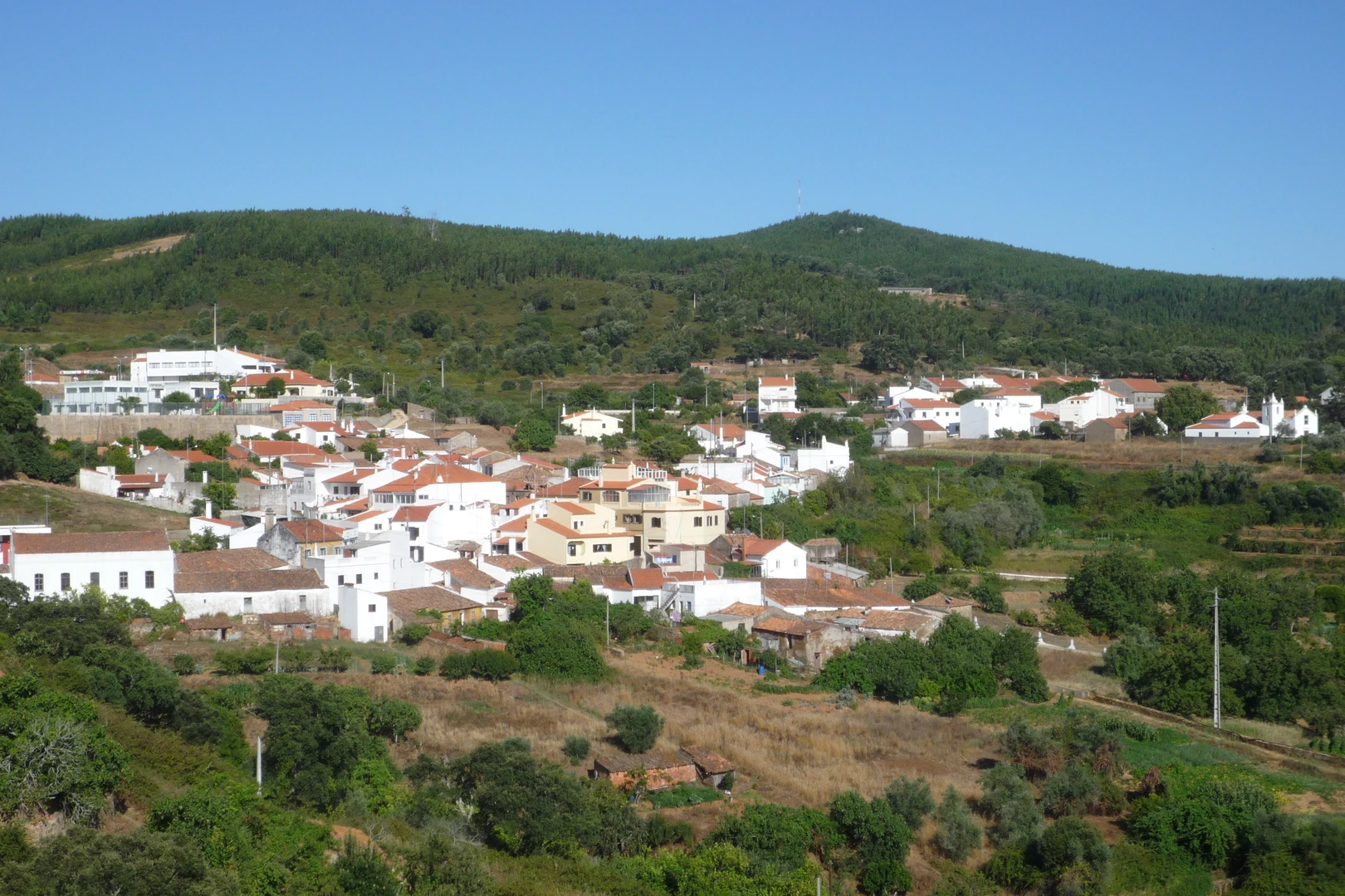
Cultural Highlights and Historical Significance The Via Algarviana passes through several small villages and towns, each with its own historical and cultural significance. The trail offers a glimpse into traditional Algarvian life, with opportunities to explore local architecture, including ancient churches and castles. The region's history is deeply connected to the Age of Discoveries, and many explorers set sail from this part of Portugal.
Climate and Best Time to Hike The Algarve region enjoys a Mediterranean climate, with hot summers and mild winters. The best time to hike the Via Algarviana is in the spring or fall when temperatures are more comfortable for long-distance hiking. During these seasons, the natural landscape is also at its most vibrant.
Preparation and Logistics Given the trail's length and rural nature, hikers should be well-prepared with adequate supplies, including water, food, and sun protection. Accommodations along the route vary from guesthouses to rural hotels, and it's wise to book in advance, especially during peak seasons. There are also designated camping areas for those who prefer to sleep under the stars.
End of the Trail Upon reaching the end of the trail at Cape St. Vincent, hikers are rewarded with breathtaking views of the Atlantic Ocean. The lighthouse here is not only a significant landmark but also a symbol of the journey's end, where the land meets the sea.
Remember, the Via Algarviana is more than just a hiking trail; it's an opportunity to immerse yourself in the natural and cultural tapestry of the Algarve, offering a memorable experience for those who traverse its path.

Comments and Reviews
User comments, reviews and discussions about the Via Algarviana, Portugal.
4.88
average rating out of 5
8 rating(s)