Download
3D Preview
Add to list
More
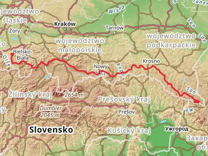
128.3 km
~5 days
2719 m
Multi-Day
“Embark on Poland's Three Foothills Trail for an 80-mile hike through historical landscapes and vibrant biodiversity.”
Embarking on the Three Foothills Trail, hikers will traverse approximately 128 kilometers (about 80 miles) of diverse terrain, with an elevation gain of roughly 2700 meters (approximately 8860 feet). This point-to-point journey begins near the small town of Tuchów in Poland, a region steeped in history and natural beauty.
Getting to the Trailhead
To reach the starting point of the Three Foothills Trail, adventurers can drive to the vicinity of gmina Tuchów, where parking areas are available for those with personal vehicles. For those relying on public transport, buses frequently run to Tuchów from larger cities such as Kraków. From Tuchów, local taxis or rideshares can take you to the trailhead.
Navigating the Trail
As you set out, ensure you have the HiiKER app downloaded for up-to-date trail maps and navigation assistance. The trail is well-marked, but having a digital tool can help keep you on track and inform you of upcoming waypoints.
Trail Highlights and Landmarks
The trail meanders through rolling hills, dense forests, and open meadows, offering a variety of landscapes. In the early stages, you'll ascend gentle slopes with panoramic views of the surrounding countryside. Approximately 20 kilometers (12 miles) in, you'll reach the first significant elevation gain, where the trail offers a vantage point that overlooks the valley below.
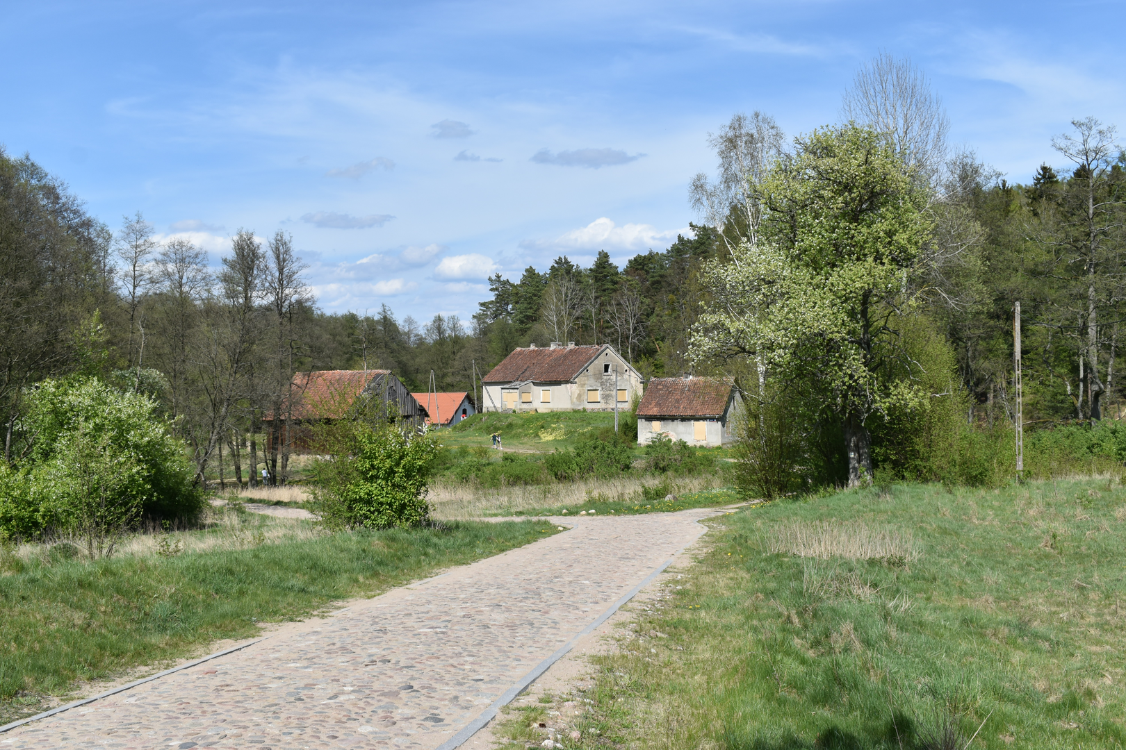
As you continue, the path takes you through several small villages where you can witness traditional Polish architecture and occasionally find local markets selling regional produce and crafts. The trail's midpoint is marked by a crossing over a picturesque stream, a perfect spot for a rest and to refill water supplies.
Flora and Fauna
The region's rich biodiversity means hikers will encounter a variety of wildlife, including deer, boars, and numerous bird species. The forests are home to a mix of coniferous and deciduous trees, with the changing seasons offering a kaleidoscope of colors, from the lush greens of summer to the fiery hues of autumn.
Historical Significance
The area surrounding the Three Foothills Trail is laden with history. Several battle sites from different eras can be found off the main trail, and hikers interested in history can take short detours to explore these locations. The trail also passes through areas that were once part of important trade routes in medieval times.
Preparing for the Hike
Given the trail's difficulty rating, it's essential to be well-prepared with appropriate gear, including sturdy hiking boots, weather-appropriate clothing, and sufficient water and food supplies. The trail can take several days to complete, so plan for overnight stays in either local accommodations or designated camping areas along the route.
Weather Considerations
The weather in this region can be unpredictable, with the possibility of sudden showers or temperature drops, especially at higher elevations. Always check the forecast before departing and be prepared for a range of conditions.
Conclusion
The Three Foothills Trail is a challenging yet rewarding experience for seasoned hikers. With its rich history, stunning landscapes, and diverse ecosystems, it offers an immersive journey through the heart of Poland's countryside. Whether you're drawn to the physical challenge, the natural beauty, or the historical intrigue, this trail promises an unforgettable adventure.

Comments and Reviews
User comments, reviews and discussions about the Three Foothills Trail, Poland.
5.0
average rating out of 5
2 rating(s)