Finger Lakes Trail trail stages
stage 29
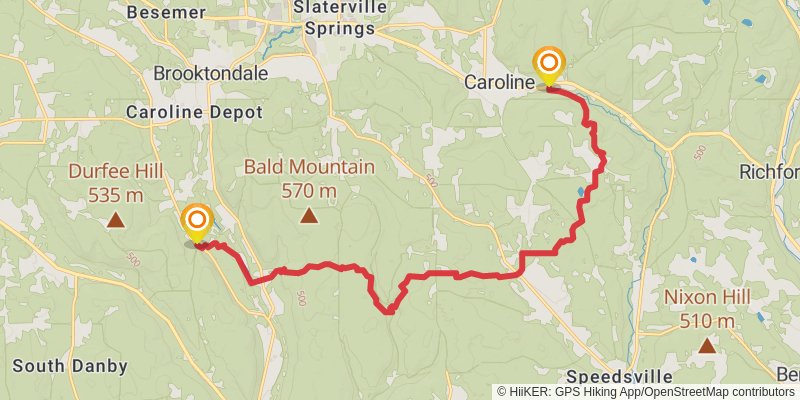
Starting at: Caroline, Tompkins County, 14817
Ending at: Richford, Tioga County, 13736
Distance: 21.3 km
Elevation gain: 787 m
Duration: 05:33:40
View on mapstage 30
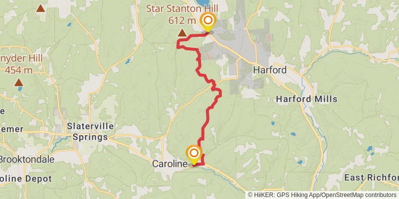
Starting at: Richford, Tioga County, 13736
Ending at: Dryden, Tompkins County, 13053
Distance: 13.1 km
Elevation gain: 488 m
Duration: 03:26:19
View on mapstage 31
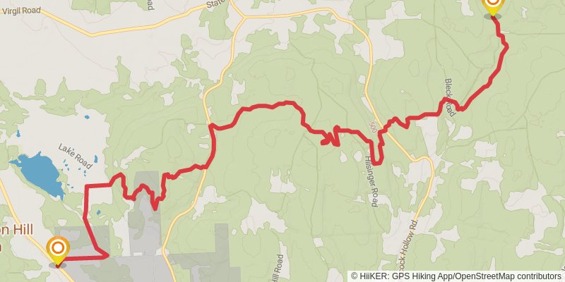
Starting at: Dryden, Tompkins County, 13053
Ending at: Virgil, Cortland County, 13045
Distance: 18.9 km
Elevation gain: 771 m
Duration: 05:04:01
View on mapstage 32
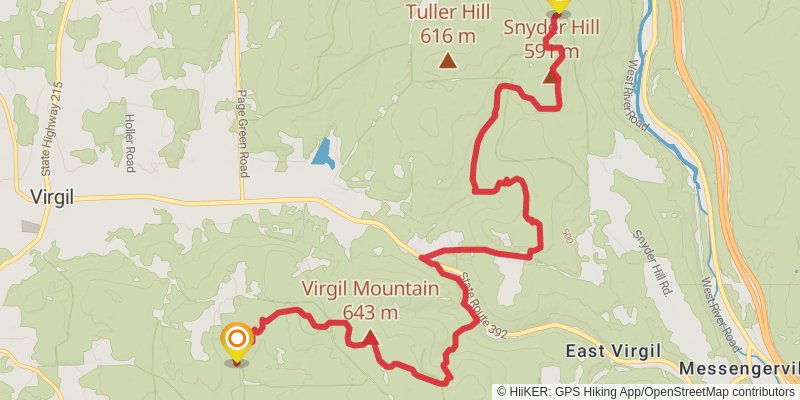
Starting at: Virgil, Cortland County, 13045
Ending at: Town of Virgil, Cortland County, 13045
Distance: 15.1 km
Elevation gain: 575 m
Duration: 03:58:52
View on mapstage 33
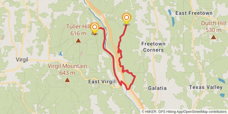
Starting at: East Virgil, Blodgett Mills, Cortland County, 13045
Ending at: Blodgett Mills, Cortland County, 13101
Distance: 19.1 km
Elevation gain: 499 m
Duration: 04:39:23
View on mapstage 34
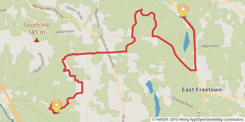
Starting at: Solon, Cortland County, 13101
Ending at: Solon, Cortland County, 13040
Distance: 18.7 km
Elevation gain: 517 m
Duration: 04:35:56
View on mapstage 35
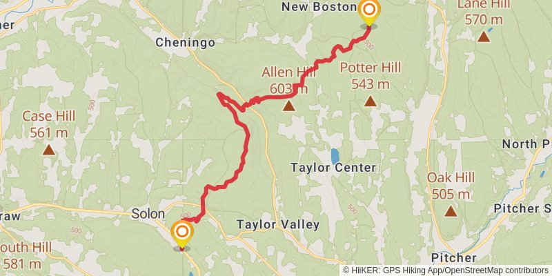
Starting at: Solon, Cortland County, 13040
Ending at: Truxton, Cortland County, 13158
Distance: 18.6 km
Elevation gain: 816 m
Duration: 05:05:11
View on mapstage 36
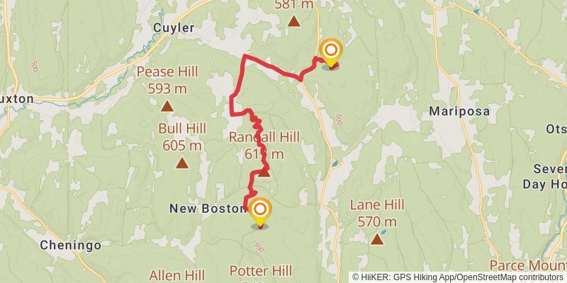
Starting at: New Boston, Cortland County, 13158
Ending at: Paradise, DeRuyter, Chenango County, 13052
Distance: 15.6 km
Elevation gain: 419 m
Duration: 03:48:56
View on mapspur 3
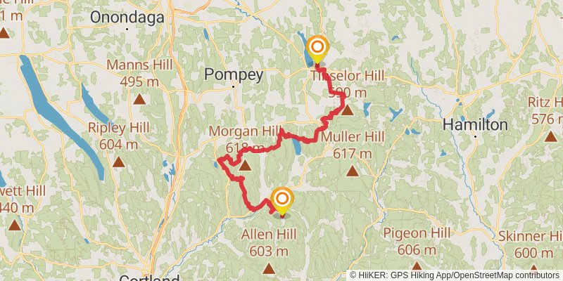
Starting at: Cuyler, Cortland County, 13158
Ending at: Cazenovia, Madison County, 13035
Distance: 72.4 km
Elevation gain: 2191 m
Duration: 18:08:01
View on mapstage 37
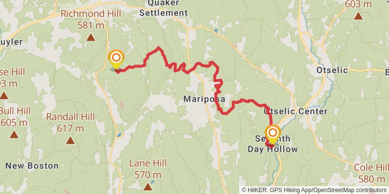
Starting at: Paradise, Lincklaen, Chenango County, 13052
Ending at: Otselic, Chenango County, 13072
Distance: 20.3 km
Elevation gain: 652 m
Duration: 05:08:15
View on mapstage 38
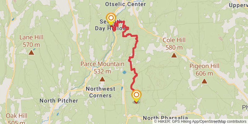
Starting at: Otselic, Chenango County, 13072
Ending at: South Plymouth, Chenango County, 13844
Distance: 14.8 km
Elevation gain: 595 m
Duration: 03:56:58
View on mapstage 39
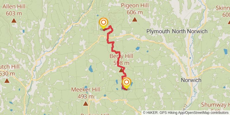
Starting at: Pharsalia, Chenango County, 13844
Ending at: Mcdonough, Chenango County, 13830
Distance: 22.1 km
Elevation gain: 365 m
Duration: 05:02:10
View on mapstage 40
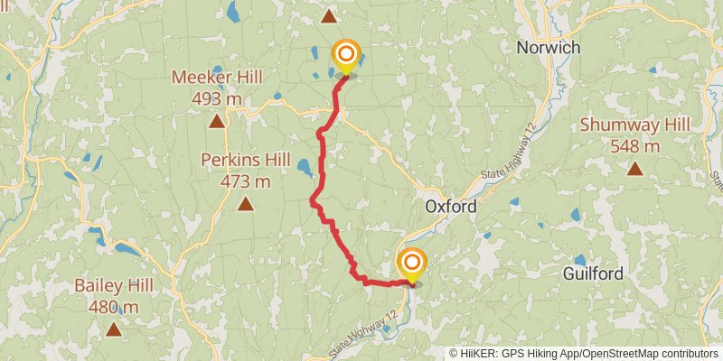
Starting at: Mcdonough, Chenango County, 13830
Ending at: Oxford, Chenango County, 13830
Distance: 20.5 km
Elevation gain: 355 m
Duration: 04:41:27
View on mapstage 41
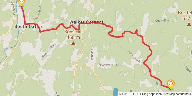
Starting at: Oxford, Chenango County, 13830
Ending at: Town of Bainbridge, Chenango County, 13733
Distance: 15.5 km
Elevation gain: 414 m
Duration: 03:46:57
View on mapstage 42
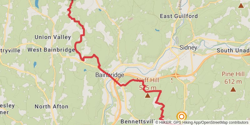
Starting at: Yaleville, Bainbridge, Chenango County, 13733
Ending at: Masonville, Delaware County, 13838
Distance: 24.1 km
Elevation gain: 650 m
Duration: 05:54:39
View on mapstage 43
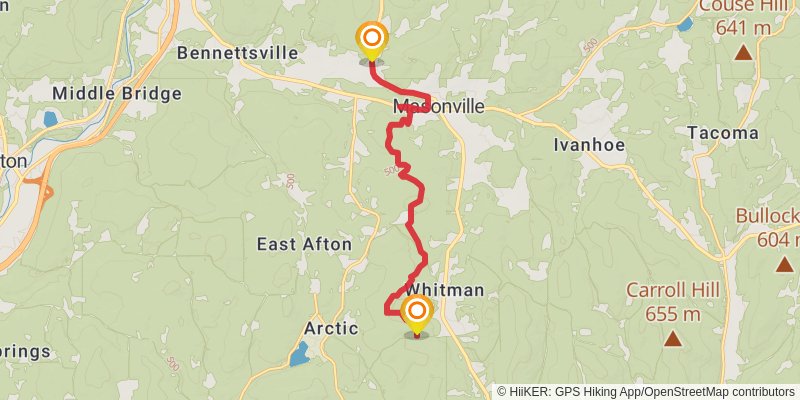
Starting at: Masonville, Delaware County, 13838
Ending at: Masonville, Delaware County, 13804
Distance: 13.6 km
Elevation gain: 560 m
Duration: 03:39:02
View on mapstage 44
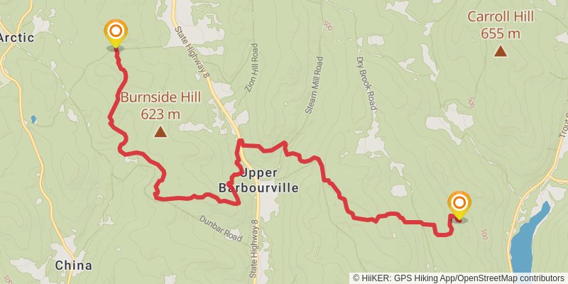
Starting at: Masonville, Delaware County, 13804
Ending at: Town of Tompkins, Delaware County, 13856
Distance: 14.0 km
Elevation gain: 734 m
Duration: 04:01:43
View on mapstage 45
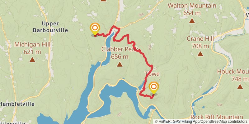
Starting at: Delaware County, 13856
Distance: 16.1 km
Elevation gain: 783 m
Duration: 04:31:40
View on mapstage 46
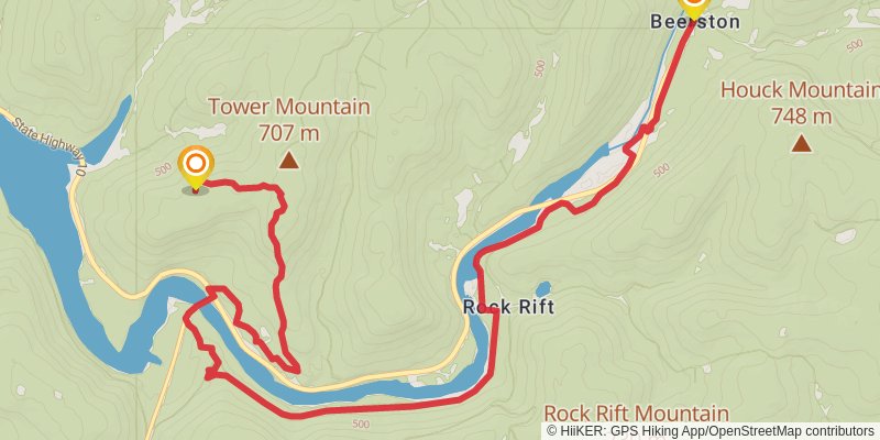
Starting at: Delaware County, 13856
Ending at: Walton, Delaware County, 13856
Distance: 17.9 km
Elevation gain: 336 m
Duration: 04:08:20
View on mapstage 47
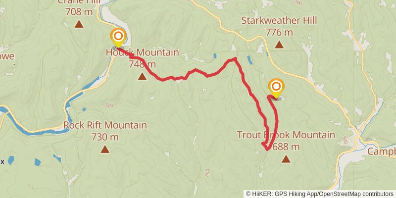
Starting at: Walton, Delaware County, 13856
Ending at: Town of Walton, Delaware County, 13755
Distance: 18.6 km
Elevation gain: 723 m
Duration: 04:54:57
View on mapstage 48
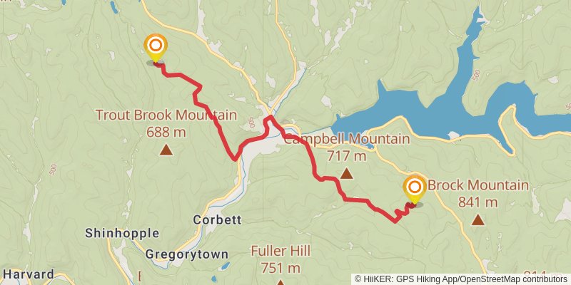
Starting at: Colchester, Delaware County, 13755
Distance: 17.7 km
Elevation gain: 757 m
Duration: 04:48:40
View on mapstage 49
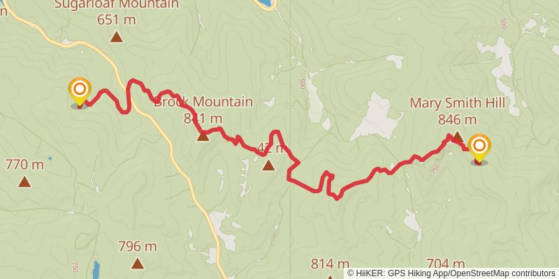
Ending at: Town of Andes, Delaware County, 13731
Distance: 13.9 km
Elevation gain: 868 m
Duration: 04:12:57
View on mapstage 50
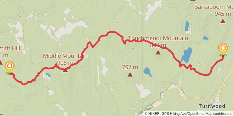
Starting at: Delaware County, 13731
Ending at: Town of Andes, Ulster County, 12758
Distance: 15.2 km
Elevation gain: 883 m
Duration: 04:30:15
View on mapstage 51
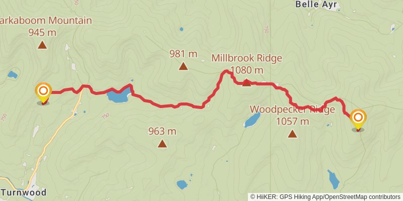
Starting at: Turnwood, Delaware County, 12758
Ending at: Livingston Manor, Ulster County, 12758
Distance: 12.2 km
Elevation gain: 786 m
Duration: 03:44:39
View on mapstage 52
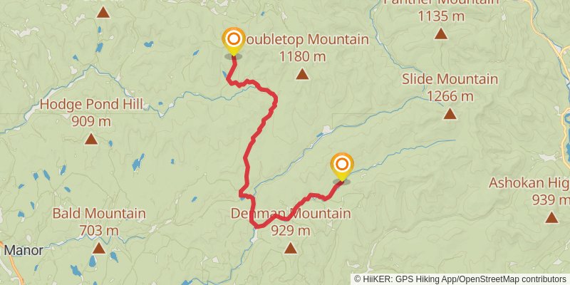
Ending at: Yurt, Claryville, Ulster County, 12725
Distance: 28.7 km
Elevation gain: 446 m
Duration: 06:29:24
View on mapstage 53
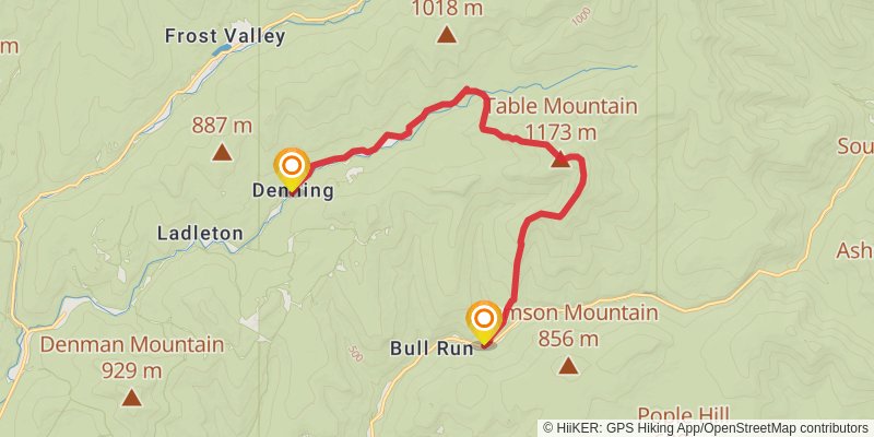
Starting at: Denning, Ulster County, 12725
Distance: 16.5 km
Elevation gain: 752 m
Duration: 04:33:06
View on mapspur 4
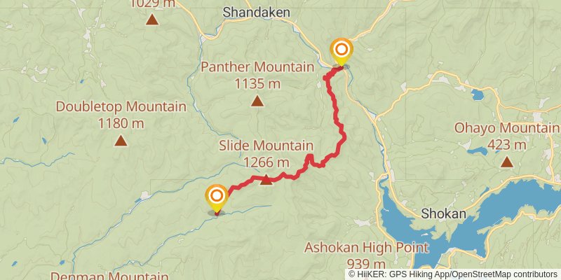
Starting at: Town of Shandaken, Ulster County, 12725
Ending at: Phoenicia, Ulster County, 12464
Distance: 26.1 km
Elevation gain: 1394 m
Duration: 07:32:11
View on map