The best hikes in Fayette County
Pennsylvania · 28 HiiKER Hikes
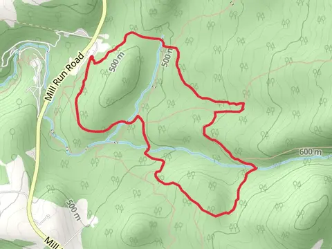
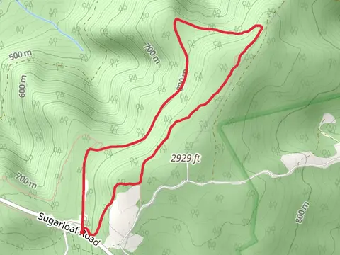
View Hikes on map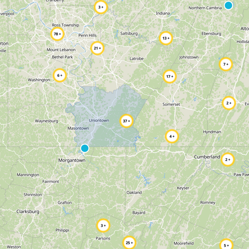

What to expect
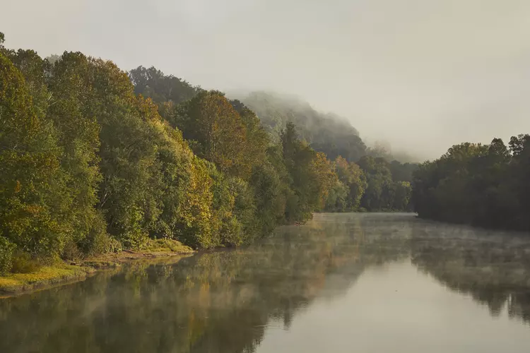
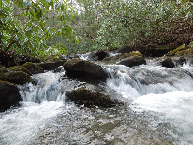
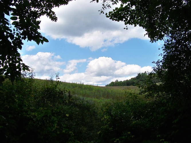
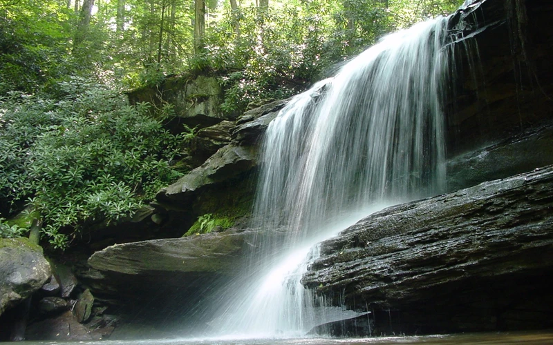
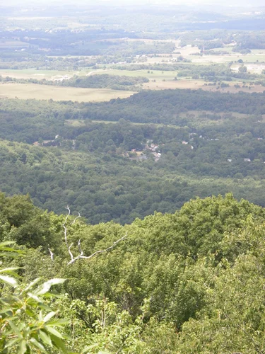
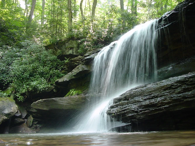
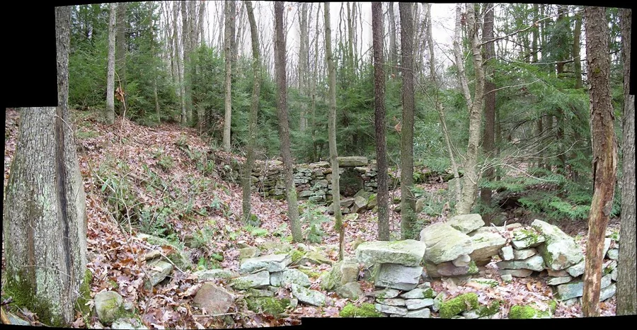
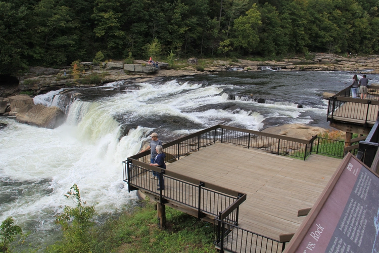
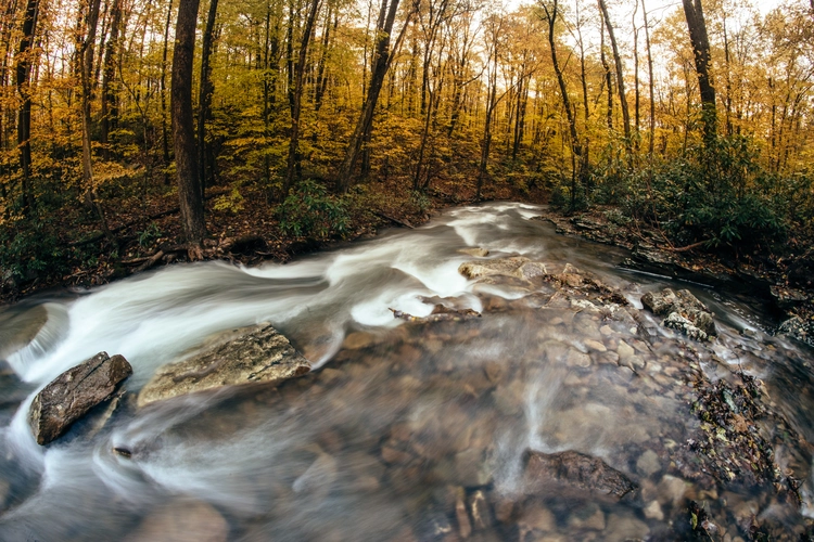
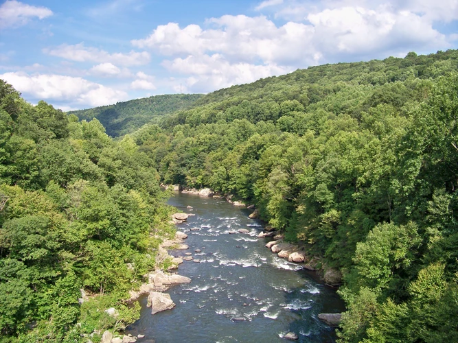
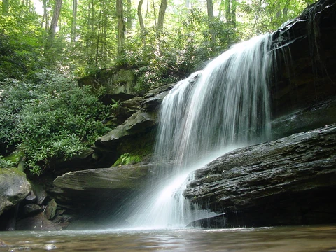
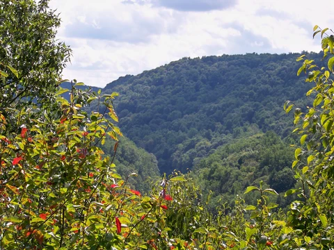
Check out some of the best hiking, walking and backpacking routes in Fayette County, Pennsylvania. The Laurel Highlands Trail is the most popular trail. The trails have 786 user reviews with great photos and information. There are trails of various difficulty levels including easy, medium, and difficult. The trail with the highest elevation climb is the Laurel Highlands Trail and the trail with the least amount of climbing is the Youghiogheny River via Great Allegheny Passage. The longest trail is the Laurel Highlands Trail at 105.2 km. For a shorter adventure you can try the Cucumber Run and Youghiogheny River at 479 m. Get off line access to Shop, Viewpoint, Peak, and Water locations and much more with a Hiiker subscription.

Be prepared for hiking in Pennsylvania with the HiiKER app