Download
3D Flyover
Add to list
More
646.3 km
~23 days
5126 m
Multi-Day
“Embark on the Oregon Coast Trail, a 401-mile journey of diverse landscapes, wildlife encounters, and rich history, demanding moderate hiking experience.”
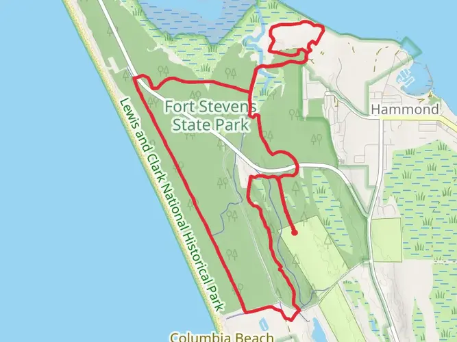
Spanning approximately 401 miles (646 kilometers) along the scenic Oregon coastline, the Oregon Coast Trail is a point-to-point trek that offers hikers a unique blend of sandy beaches, forested paths, and rugged headlands. With an elevation gain of around 16,732 feet (5,100 meters), the trail provides a moderate challenge suitable for hikers with some experience.
Starting near the mouth of the Columbia River in Clatsop County, the trailhead is accessible by car or public transport. For those driving, the trail begins near the city of Astoria, where parking is available. Public transportation options include bus services that connect to Astoria from various cities in Oregon.
Navigating the Trail
As you embark on your journey, the use of a navigation tool like HiiKER can be invaluable for staying on track. The trail is well-marked in most sections, but there are areas where the route may be less obvious, particularly as it crosses through towns and along beaches.
Coastal Landscapes and Wildlife
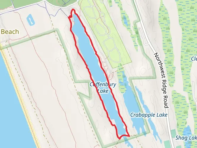
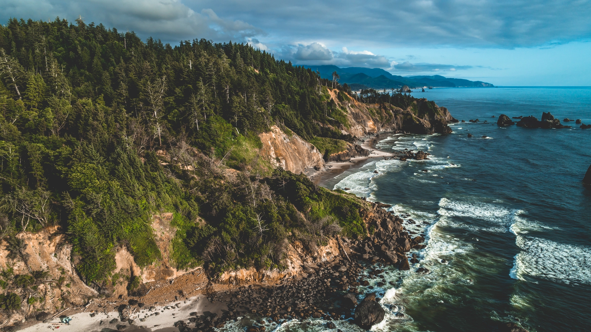
The Oregon Coast Trail meanders through a variety of landscapes, including sandy stretches like the iconic Cannon Beach, where the 235-foot (72-meter) Haystack Rock stands as a natural monument. Wildlife is abundant, with opportunities to spot sea lions, whales during migration seasons, and a plethora of bird species.
Cultural and Historical Significance
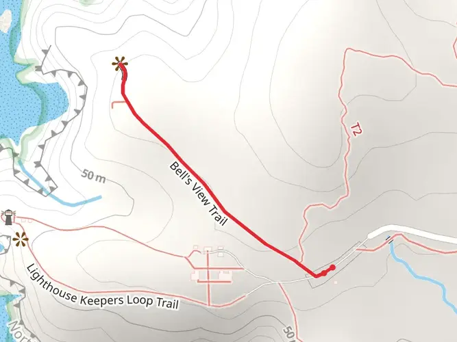
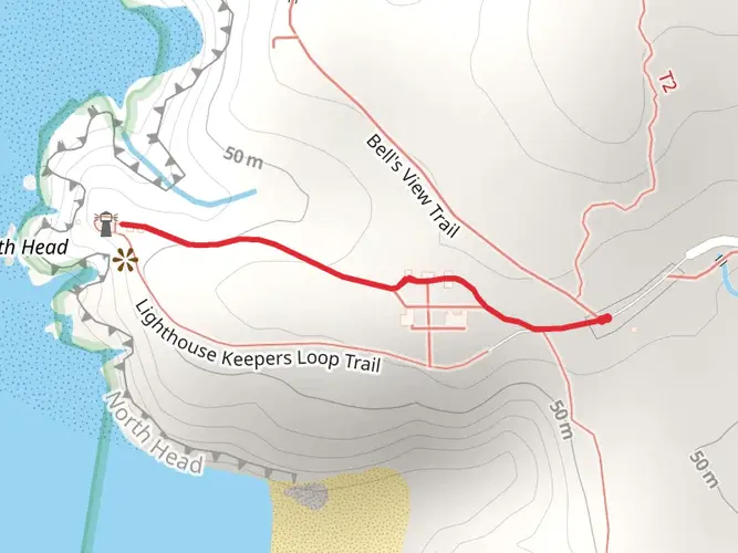
The trail is steeped in history, passing through areas that were once home to indigenous tribes and later explored by Lewis and Clark. The trail offers a chance to visit historical landmarks such as the Tillamook Rock Lighthouse and the remnants of old forts.
Challenges and Considerations
While the trail is rated as medium difficulty, be prepared for sections that require walking on the beach, which can be physically demanding. Tides and weather can affect beach accessibility, so it's crucial to plan accordingly. Additionally, some segments of the trail require hikers to navigate around headlands or use alternate routes during high tide.
Accommodations and Amenities
The trail is dotted with campgrounds and small towns where hikers can find lodging, supplies, and food. It's advisable to book accommodations in advance during peak season. Campsites are available on a first-come, first-served basis, and some require permits.
End of the Trail
The southern terminus of the Oregon Coast Trail is near the border of California, in the vicinity of Crissey Field State Recreation Site. From here, hikers can arrange for transportation back to their starting point or continue their journey into California.
Preparation Tips
Before setting out, ensure you have a tide table, as well as a trail map or GPS device with the trail loaded. Weather on the Oregon coast can be unpredictable, so pack layers and be prepared for rain. Lastly, leave no trace principles should be followed to preserve the trail's natural beauty for future hikers.

Comments and Reviews
User comments, reviews and discussions about the Oregon Coast Trail, Oregon.
4.63
average rating out of 5
16 rating(s)