The best hikes in Stark County
Ohio · 35 HiiKER Hikes
View Hikes on map

What to expect
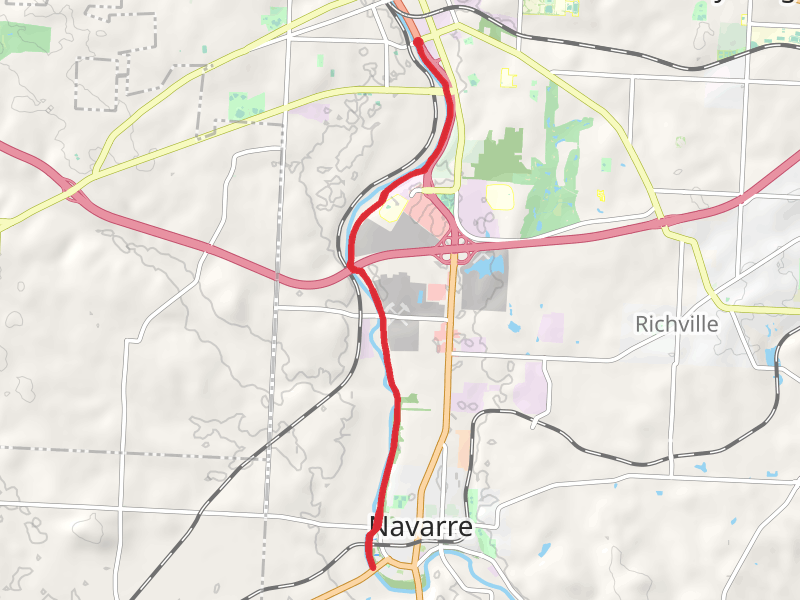
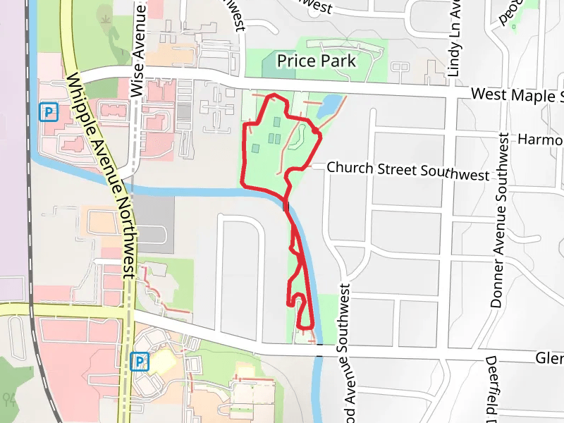
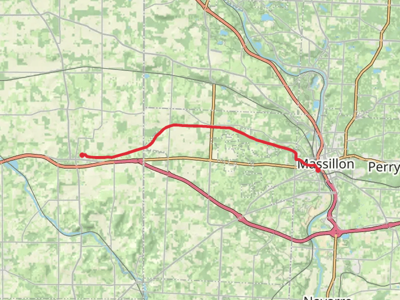
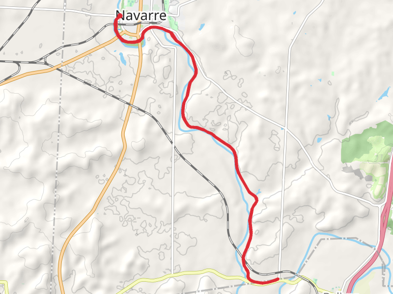
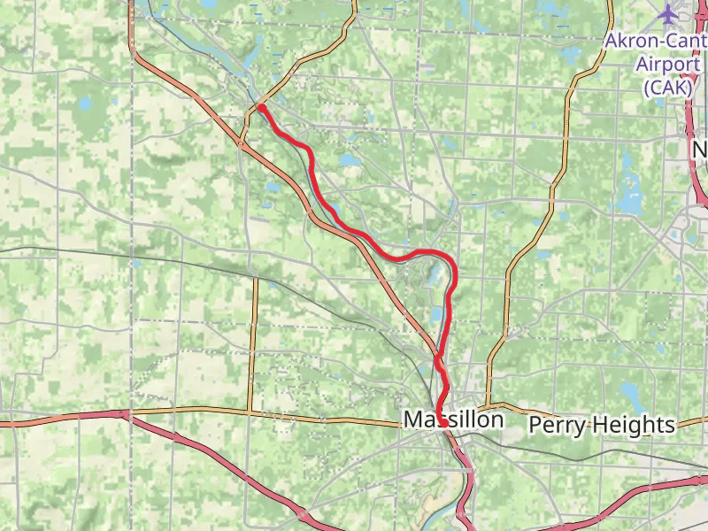
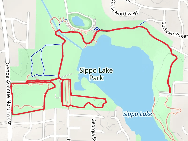
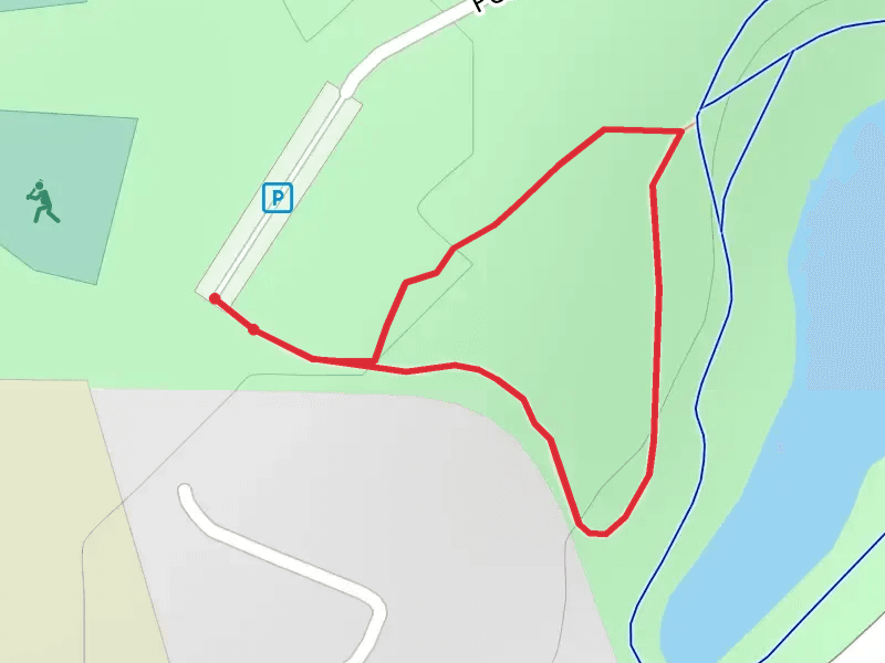
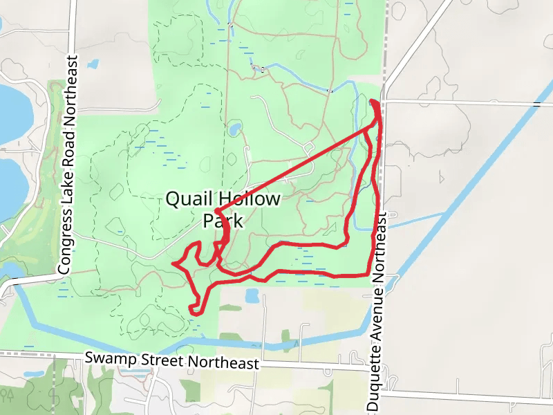
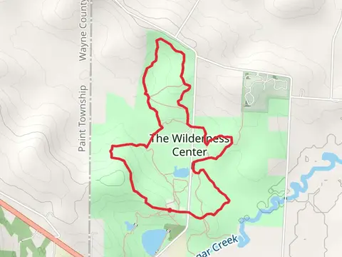
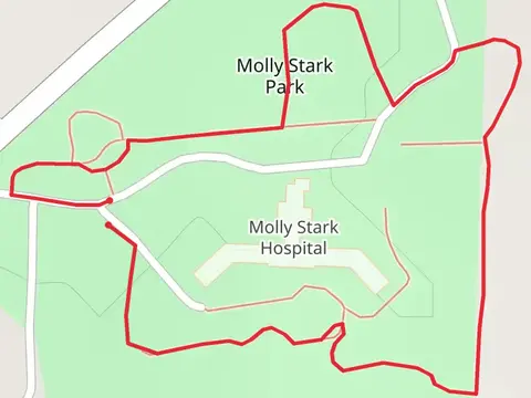
Check out some of the best hiking, walking and backpacking routes in Stark County, Ohio. The Price Park Loop is the most popular trail. The trails have 780 user reviews with great photos and information. There are trails of various difficulty levels including easy and medium. The trail with the highest elevation climb is the Molly State Park Loop and the trail with the least amount of climbing is the Ohio and Erie Canal Towpath Trail - Navarre. The longest trail is the Ohio and Erie Canal Towpath Trail - Navarre at 24.9 km. For a shorter adventure you can try the Cook's Lagoon Park Loop at 448 m. Get off line access to Shelter, Healthcare, Restaurant, and Fastfood locations and much more with a Hiiker subscription.

Be prepared for hiking in Ohio with the HiiKER app