Download
3D Preview
Add to list
More
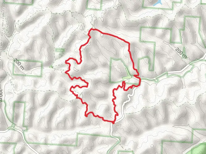
26.0 km
~6 hrs 13 min
620 m
Multi-Day
“Embark on the Vesuvius Trail for a vibrant trek through history, wildlife, and the undulating heart of Wayne National Forest.”
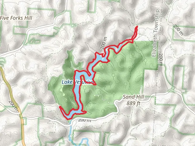
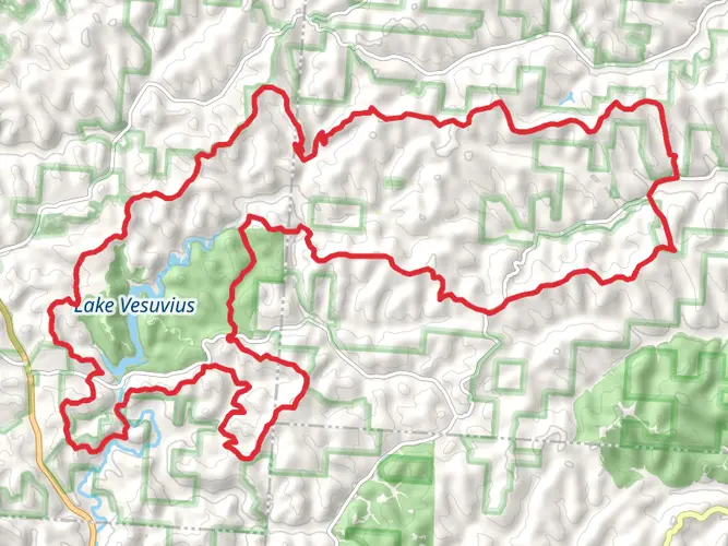
The Vesuvius Backpack Trail, nestled near Lawrence County, Ohio, offers an immersive experience into the heart of Wayne National Forest. Spanning approximately 26 kilometers (16 miles) and featuring an elevation gain of around 600 meters (nearly 2000 feet), this loop trail is rated medium in difficulty, making it accessible to hikers with a reasonable level of fitness.
Getting There To reach the trailhead, if you're driving, navigate towards Pedro, Ohio, where you'll find the entrance to the trail near the Lake Vesuvius Recreation Area. For those relying on public transport, the closest major city with bus and train services is Huntington, West Virginia. From there, you can take a taxi or a local shuttle service to the trailhead.
Trail Experience As you embark on your journey, the trail will guide you through a diverse landscape of rolling hills, dense hardwood forests, and tranquil streams. The path is well-marked, but carrying a reliable navigation tool like HiiKER is recommended to keep track of your progress and waypoints.
Historical Significance The region holds a rich tapestry of history, with the land once being home to Native American tribes before European settlers arrived. The name 'Vesuvius' itself is a nod to the area's iron furnace history, which was instrumental in the development of this region during the 19th century.
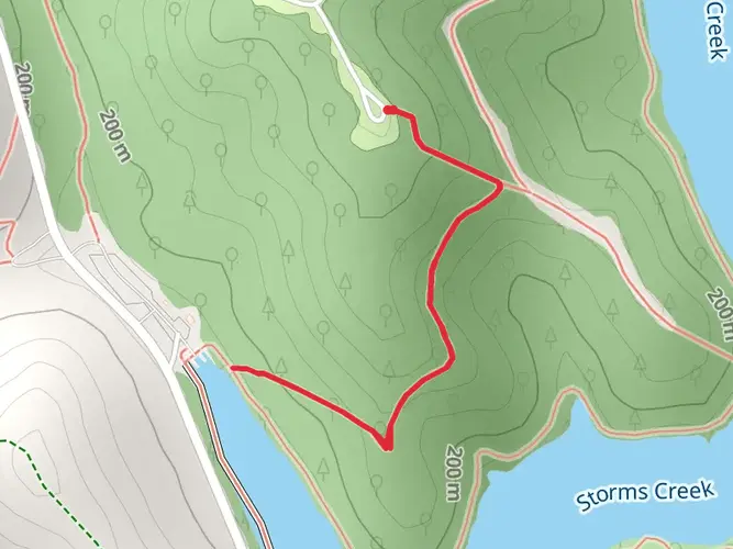
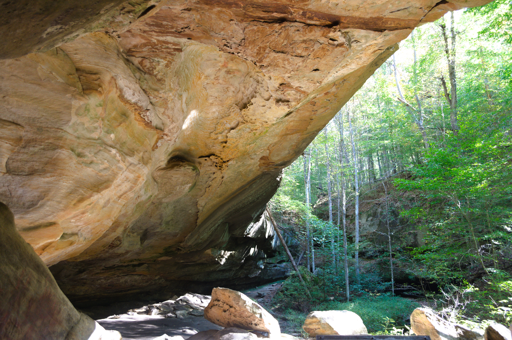
Landmarks and Wildlife Approximately 5 kilometers (3 miles) into the hike, you'll encounter the remnants of the Vesuvius Iron Furnace, a historical landmark that stands as a testament to the area's industrial past. As you continue, the trail offers scenic overlooks of Lake Vesuvius, a perfect spot for a rest or a photo opportunity.
The forest is teeming with wildlife, so keep an eye out for white-tailed deer, wild turkeys, and a variety of bird species. The changing seasons bring a kaleidoscope of flora, with spring wildflowers, summer greenery, and the vibrant colors of fall foliage.
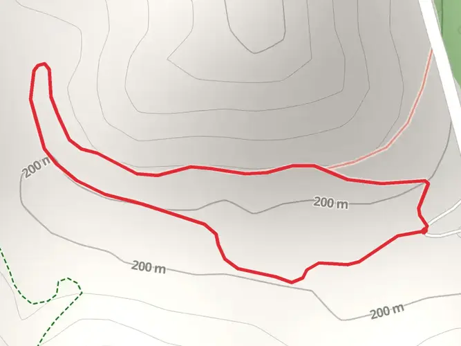
Trail Navigation and Terrain The terrain varies from gentle inclines to more challenging sections, with some steep grades that contribute to the trail's medium difficulty rating. Around the halfway point, the trail ascends to one of its highest elevations, offering panoramic views of the surrounding forest.
Preparation and Safety Before setting out, ensure you have adequate water, as sources along the trail may not be reliable or safe for drinking. It's also wise to pack layers of clothing, as temperatures can fluctuate, especially in the higher elevations. Lastly, inform someone of your hiking plans and expected return time for safety.
By preparing accordingly and respecting the natural environment, your hike on the Vesuvius Backpack Trail will be a memorable adventure through one of Ohio's most enchanting landscapes.

What to expect?
Activity types
Comments and Reviews
User comments, reviews and discussions about the Vesuvius Backpack trail, Ohio.
4.44
average rating out of 5
9 rating(s)