The best hikes in Greene County
Ohio · 33 HiiKER Hikes
View Hikes on map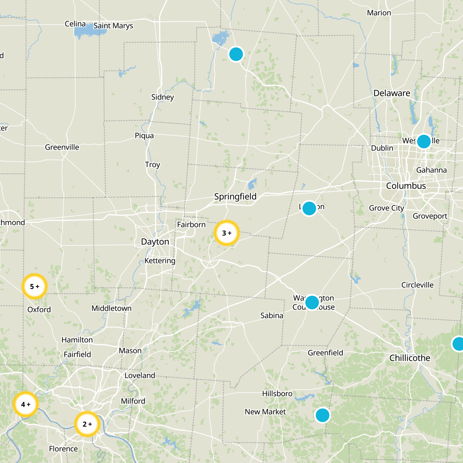

What to expect
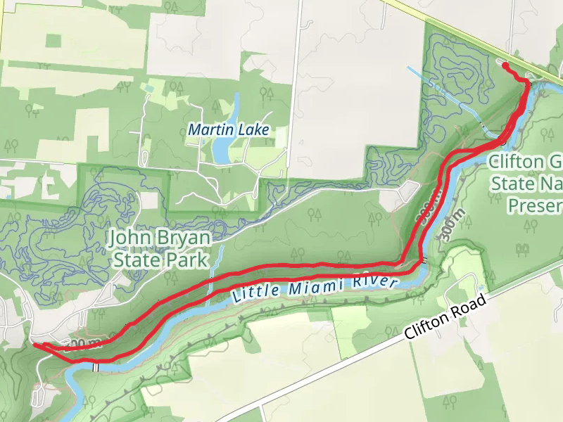
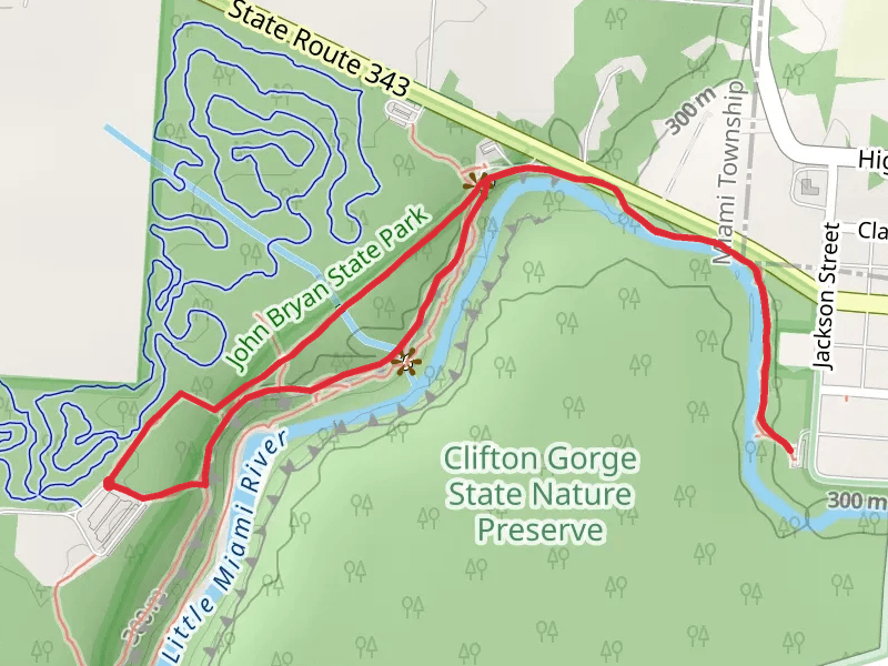
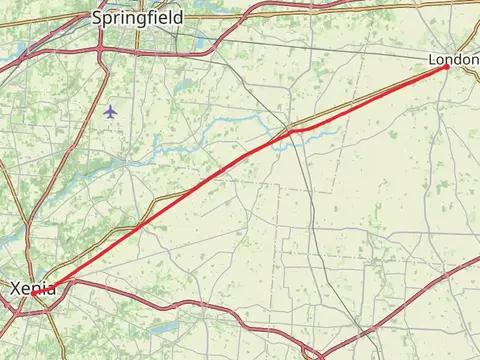
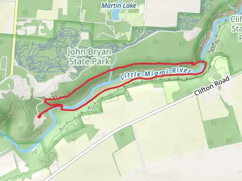
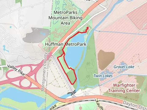
Check out some of the best hiking, walking and backpacking routes in Greene County, Ohio. The Little Miami River Loop via Pittsburgh-Cincinnati Stage Coach is the most popular trail. The trails have 835 user reviews with great photos and information. There are trails of various difficulty levels including easy and medium. The trail with the highest elevation climb is the Prairie Grass Trail and the trail with the least amount of climbing is the Walk beside Huffman MetroPark Lake. The longest trail is the Prairie Grass Trail at 46.6 km. For a shorter adventure you can try the Russ the Beaver Short North Loop at 949 m. Get off line access to Restaurant, Shelter, Fastfood, and Viewpoint locations and much more with a Hiiker subscription.

Be prepared for hiking in Ohio with the HiiKER app