The best hikes in Geauga County
Ohio · 38 HiiKER Hikes
View Hikes on map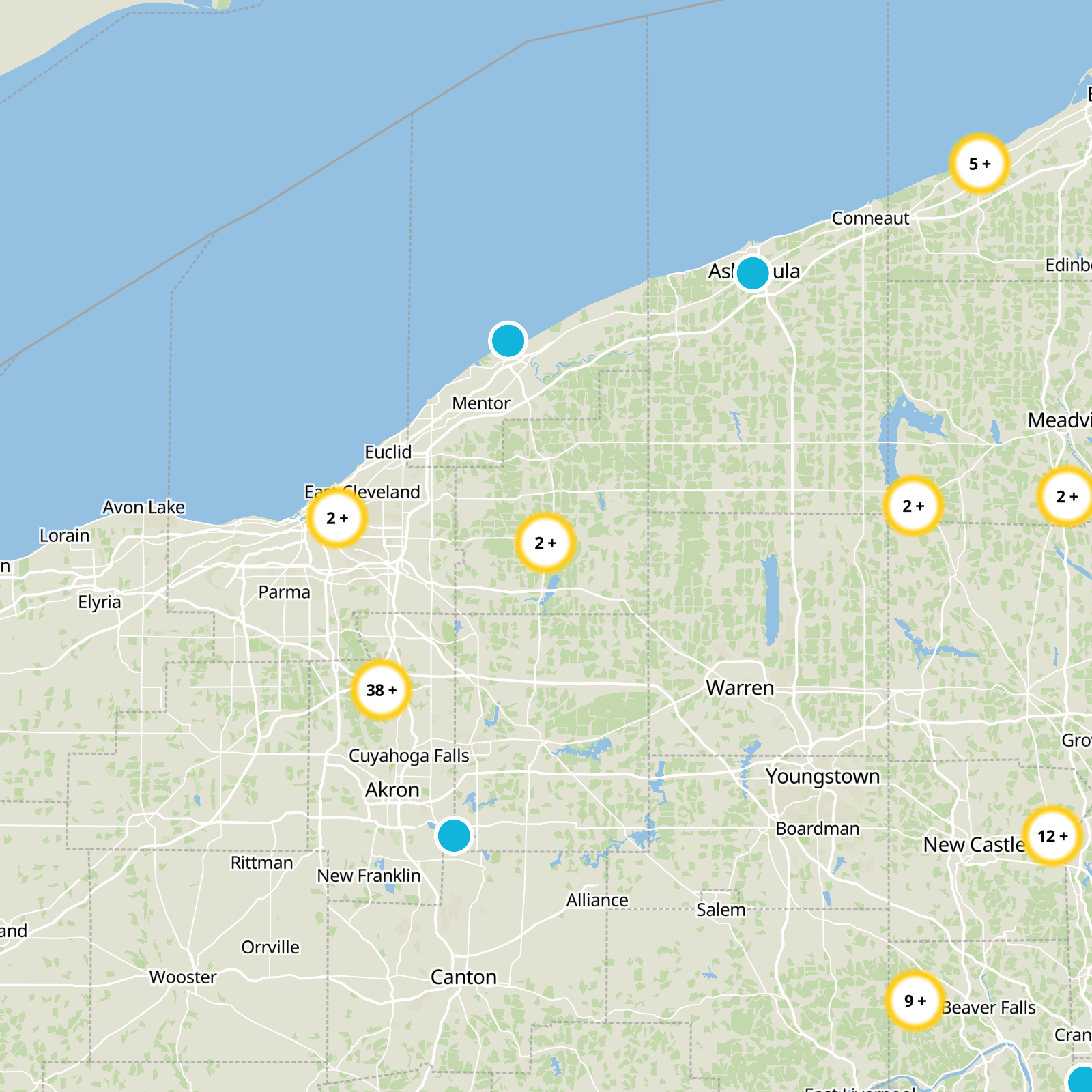
What to expect
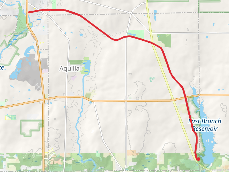
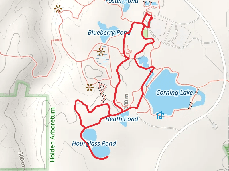
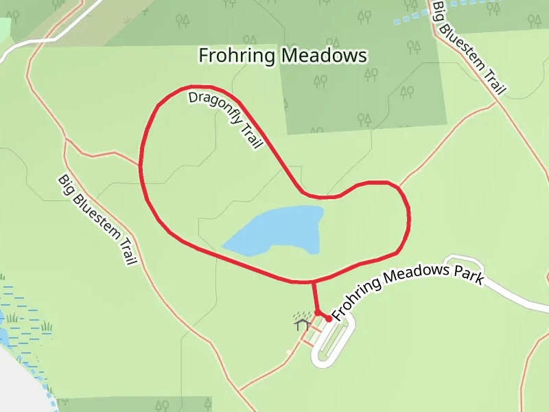
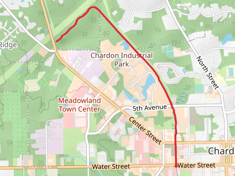
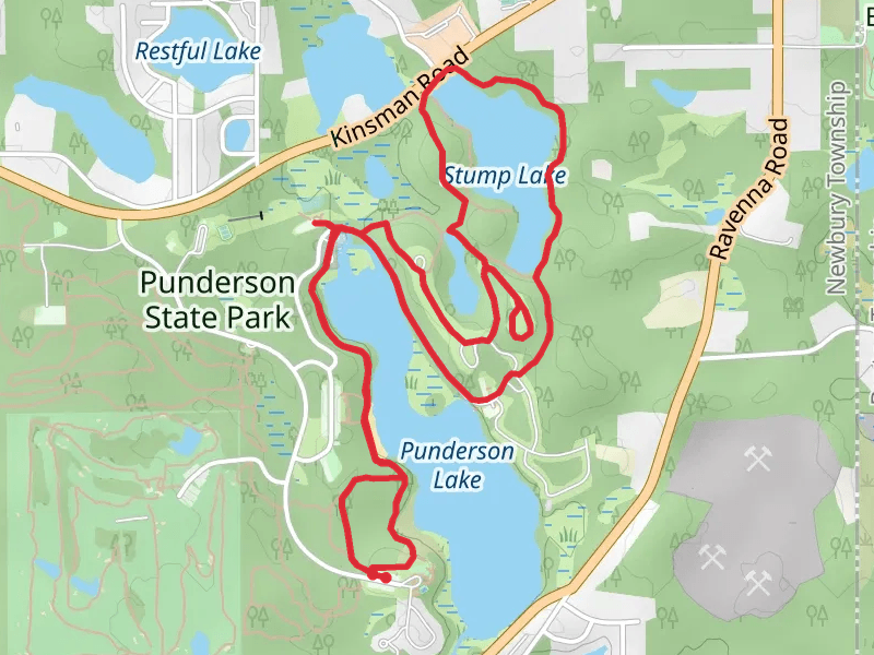
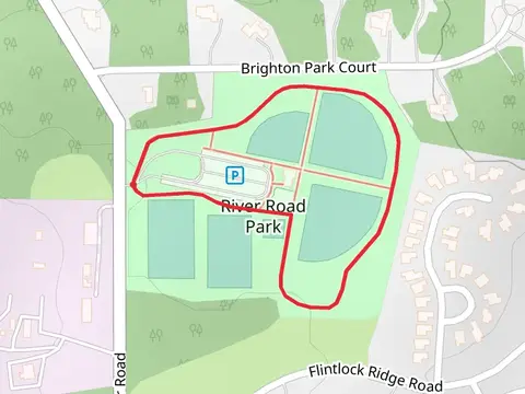
Check out some of the best hiking, walking and backpacking routes in Geauga County, Ohio. The Dragonfly Loop Trail is the most popular trail. There are trails of various difficulty levels including easy and medium. The trail with the highest elevation climb is the Maple Highlands Trail - North and the trail with the least amount of climbing is the River Road Park Loop. The longest trail is the Maple Highlands Trail at 26.8 km. For a shorter adventure you can try the Kingfisher Trail at 423 m. Get off line access to Healthcare, Fastfood, Town, and Shelter locations and much more with a Hiiker subscription.

Be prepared for hiking in Ohio with the HiiKER app