The best hikes in Ashtabula County
Ohio · 7 HiiKER Hikes
View Hikes on map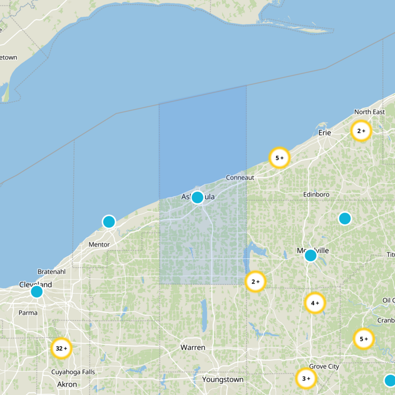
What to expect
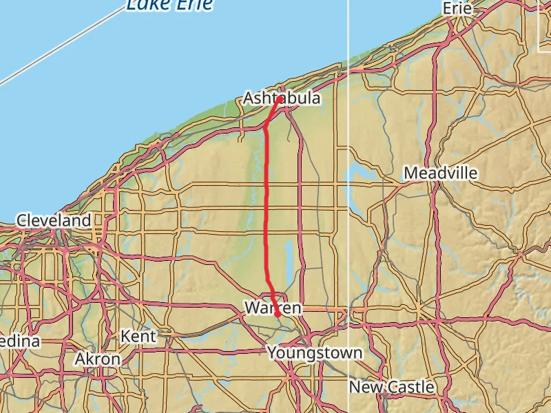
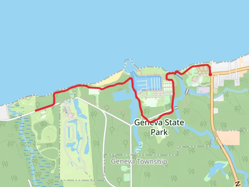
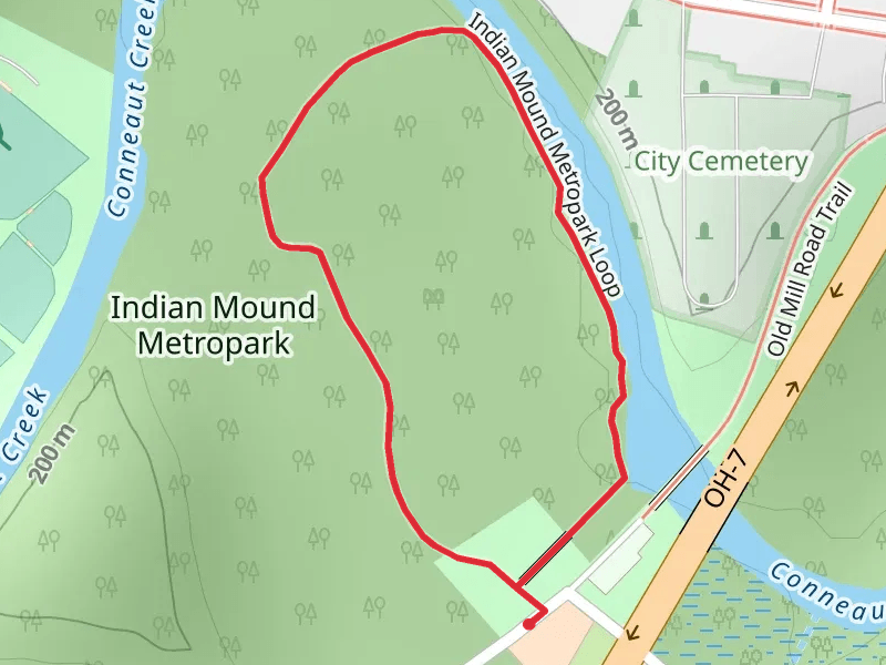
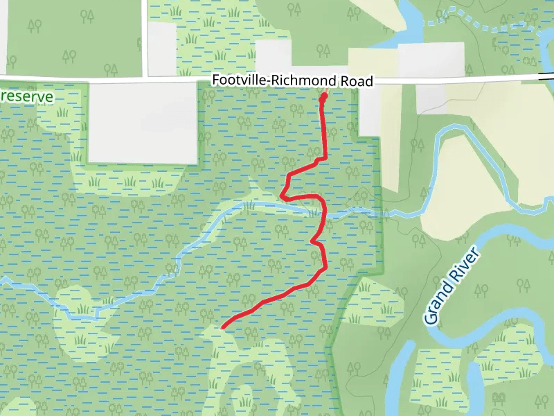
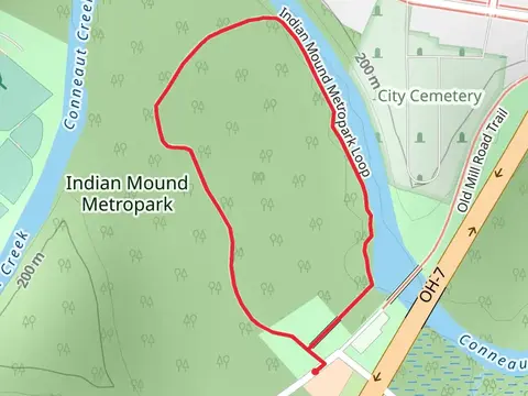
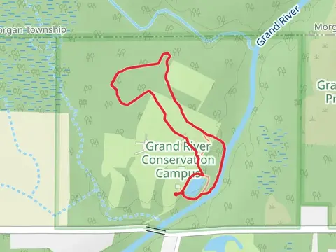
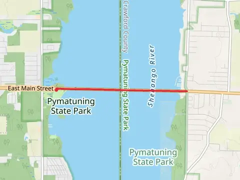
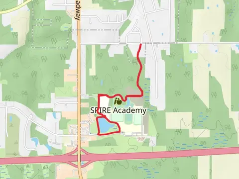
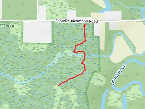
Check out some of the best hiking, walking and backpacking routes in Ashtabula County, Ohio. The Western Reserve Greenway Trail is the most popular trail. The trails have 143 user reviews with great photos and information. The trail with the highest elevation climb is the Shenango River Out and Back and the trail with the least amount of climbing is the Geneva State Park Walk. The longest trail is the Western Reserve Greenway Trail at 75.5 km. For a shorter adventure you can try the Indian Mound Metropark Loop at 1.3 km. Get off line access to Restaurant, Campsite, Fastfood, and Shelter locations and much more with a Hiiker subscription.

Be prepared for hiking in Ohio with the HiiKER app