The best hikes in Allen County
Ohio · 21 HiiKER Hikes
View Hikes on map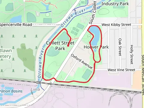

What to expect
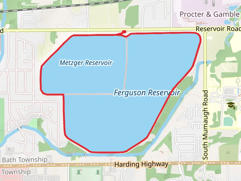
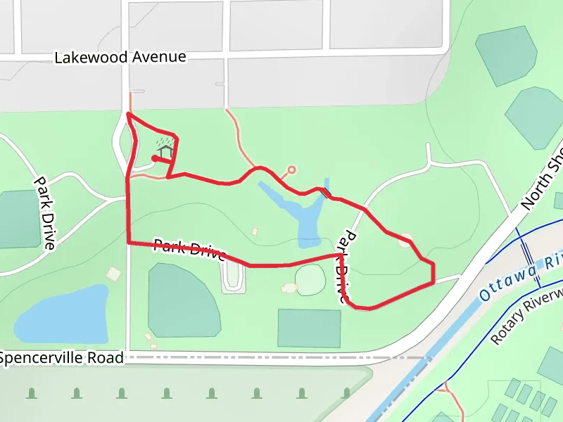
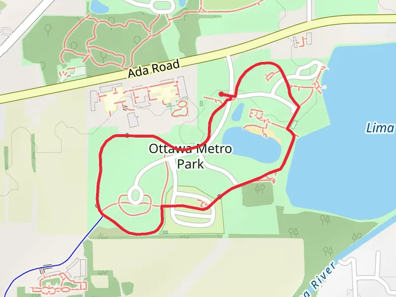
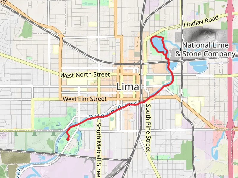
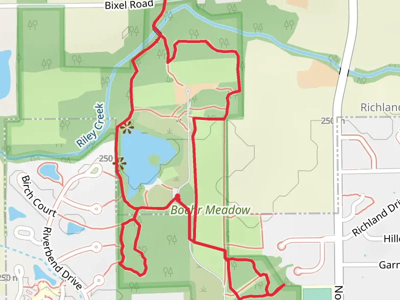
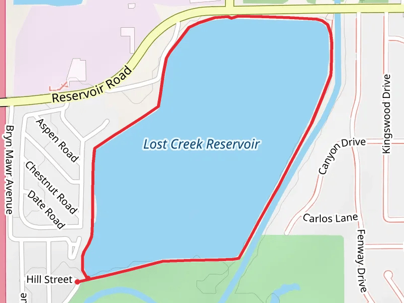
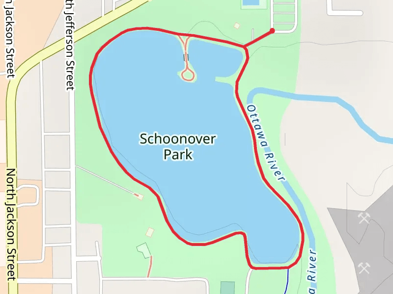
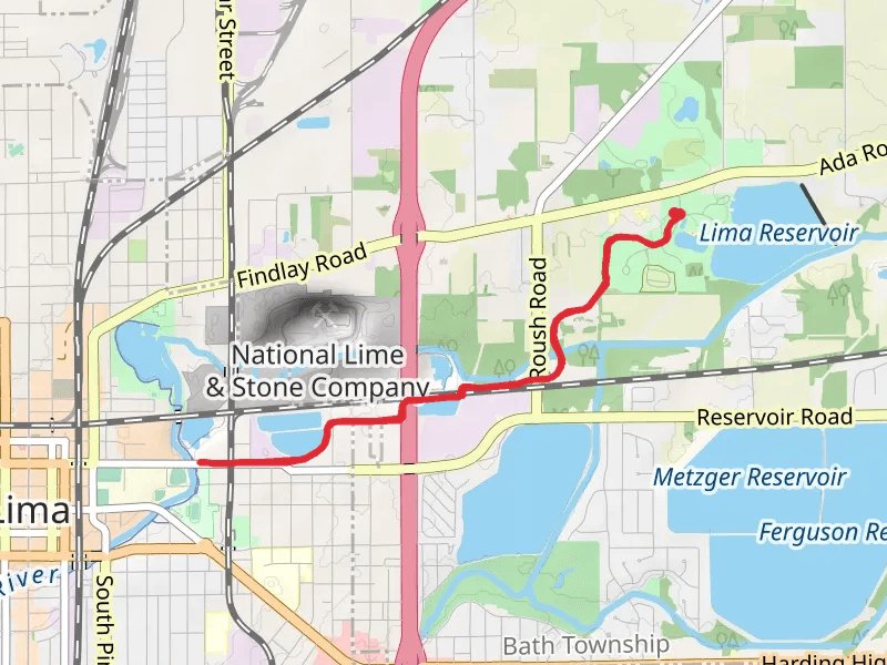
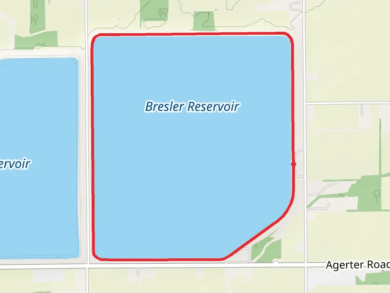
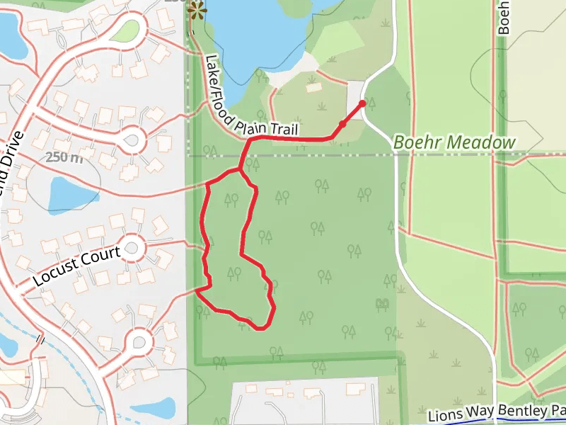
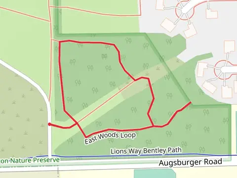
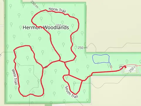
Check out some of the best hiking, walking and backpacking routes in Allen County, Ohio. The Faurot Park Loop is the most popular trail. There are trails of various difficulty levels including easy and medium. The trail with the highest elevation climb is the Metzger Reservoir and Ferguson Reservoir Loop and the trail with the least amount of climbing is the Lake-Flood Plain and Swinging Bridge Loop Trail. The longest trail is the Rotary Riverwalk South from Collett Street Park at 12.8 km. For a shorter adventure you can try the East Woods Loop at 744 m. Get off line access to Restaurant, Shelter, History, and Fastfood locations and much more with a Hiiker subscription.

Be prepared for hiking in Ohio with the HiiKER app