The best hikes in MacDonnell
Northern Territory · 4 HiiKER Hikes
View Hikes on map

What to expect
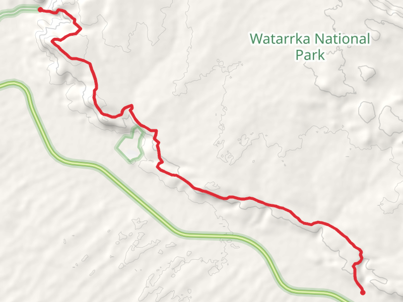
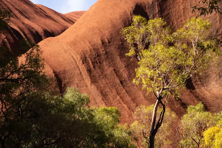
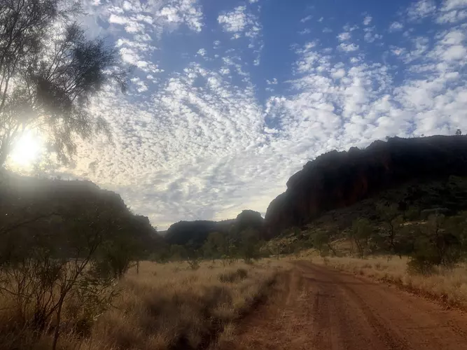
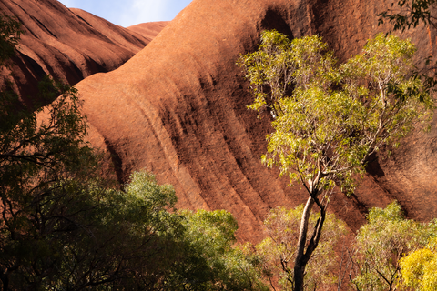
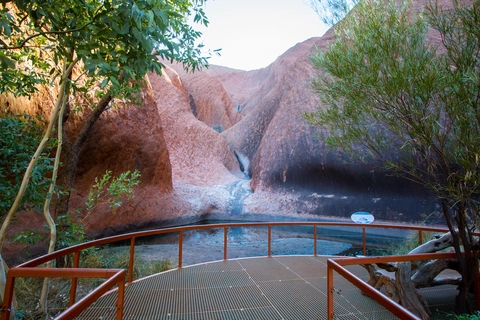
Check out some of the best hiking, walking and backpacking routes in MacDonnell, Northern Territory. The Uluru Base Walk is the most popular trail. The trails have 5 user reviews with great photos and information. There are trails of various difficulty levels including medium, difficult, and extra difficult. The trail with the highest elevation climb is the Giles Track and the trail with the least amount of climbing is the Uluru Base Walk. The longest trail is the Giles Track at 20.7 km. For a shorter adventure you can try the Mala Walk at 2.1 km. Get off line access to Town, Peak, Water, and Shelter locations and much more with a Hiiker subscription.

Be prepared for hiking in Northern Territory with the HiiKER app