Download
Preview
Add to list
More
20.7 km
~2 days
340 m
Multi-Day
“Embark on the Giles Track for a scenic and historic hike through Australia's rugged Outback.”
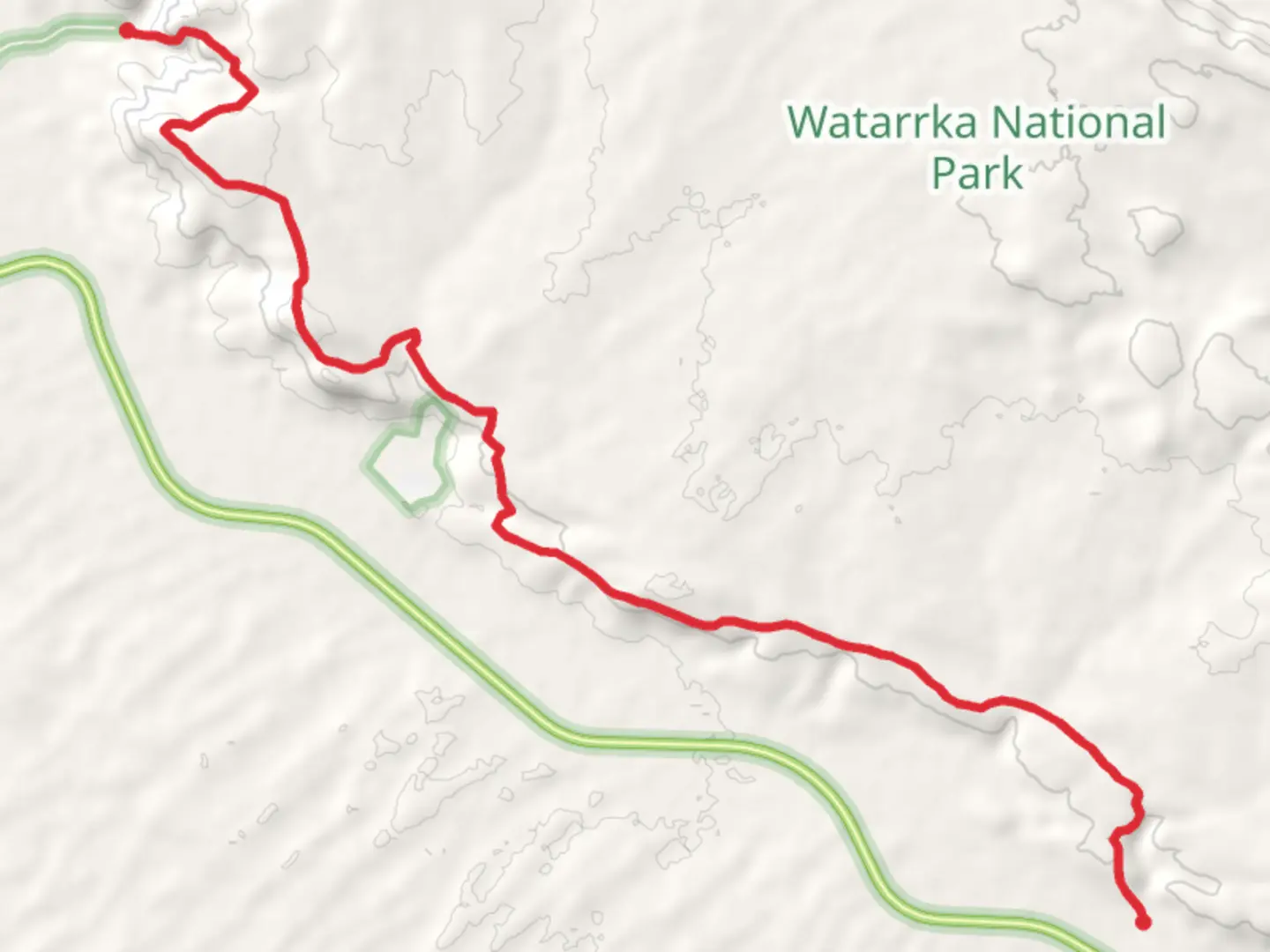
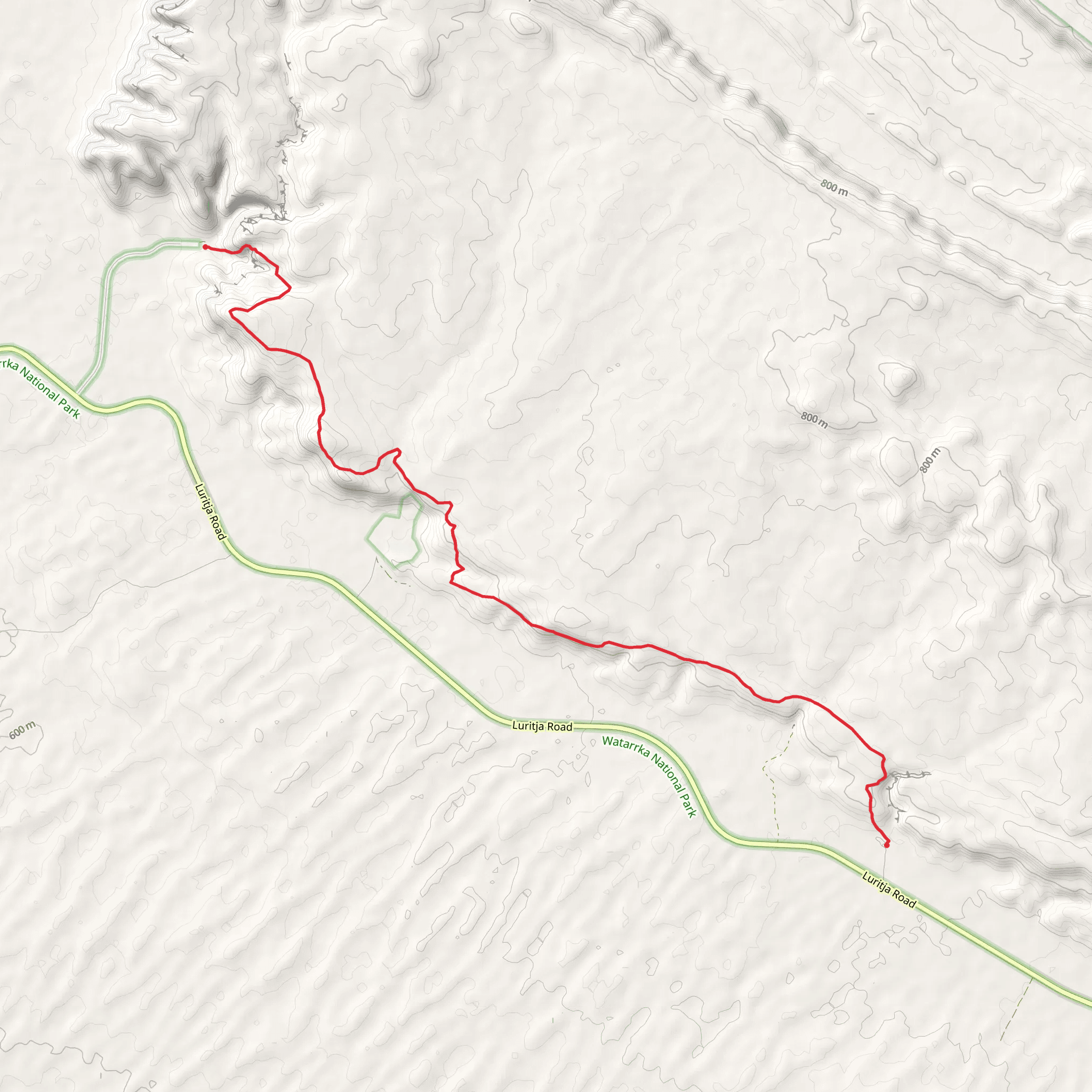
The Giles Track is a captivating journey through the rugged heart of Australia's Northern Territory, offering hikers a unique blend of natural beauty and historical significance. Spanning approximately 21 kilometers (around 13 miles) with an elevation gain of about 300 meters (roughly 980 feet), this point-to-point trail is a medium-difficulty hike that traverses the West MacDonnell Ranges, starting near the town of MacDonnell.Getting to the Trailhead To reach the trailhead, hikers can drive to the starting point located near MacDonnell. There is no direct public transportation to the trailhead, so a private vehicle or a shuttle arranged through a local tour operator is necessary. Parking is available at the trailhead, which serves as the starting point for this immersive trek.Navigating the Trail As you embark on the Giles Track, it's advisable to use a reliable navigation tool like HiiKER to stay on course. The trail is well-marked, but the remote nature of the area means that having a digital map can be invaluable, especially in areas where the path may be less defined.Natural Wonders and Wildlife The Giles Track is a showcase of the diverse flora and fauna of the West MacDonnell Ranges. Hikers will wander through spinifex grasslands, river red gum-lined watercourses, and rugged gorges that provide a habitat for a variety of wildlife. Keep an eye out for rock wallabies, perentie lizards, and a plethora of bird species, including the iconic wedge-tailed eagle.Historical Significance The trail is named after the explorer Ernest Giles, who was one of the first Europeans to traverse this region in the late 19th century. The West MacDonnell Ranges hold great cultural significance for the Arrernte people, the traditional custodians of the land. Along the trail, hikers may encounter ancient rock art and other cultural sites, serving as a poignant reminder of the area's rich Aboriginal heritage.Landmarks and Points of Interest As you progress along the Giles Track, you'll encounter several natural landmarks that are worth noting. The Standley Chasm, a striking natural alleyway carved through the tough quartzite by thousands of years of water flow, is a highlight. Approximately halfway through the hike, you'll reach the summit of a ridge that offers panoramic views of the surrounding landscape, a perfect spot for a rest and photo opportunity.Preparation and Safety Given the trail's remote location and the harsh climate of the region, it's essential to be well-prepared. Carry plenty of water—at least 4 liters per person—as well as sun protection, sturdy hiking boots, and appropriate clothing. Be mindful of the weather conditions, as temperatures can soar during the day and drop significantly at night. It's also wise to inform someone of your hiking plans and expected return time.Conclusion The Giles Track is a rewarding adventure for those looking to experience the natural splendor and historical depth of Australia's Red Centre. With careful planning and respect for the environment and cultural sites, hikers will find this trail to be a memorable journey through one of the country's most iconic landscapes.
Comments and Reviews
User comments, reviews and discussions about the Giles Track, Northern Territory.
4.33
average rating out of 5
6 rating(s)
