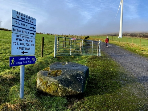
Check out some of the best hiking, walking and backpacking routes in County Tyrone, Northern Ireland. The
Sliabh Beagh Way is the most popular trail. The trails have 2 user reviews with great photos and information. There are trails of various difficulty levels including easy and medium. The trail with the highest elevation climb is the
Dart and Sawel Mountain Loop and the trail with the least amount of climbing is the
Strabane Towpath. The longest trail is the
Sliabh Beagh Way at 65.8 km. For a shorter adventure you can try the
Dart North - West Mountain Walk at 683 m. Get off line access to Pub, History, Peak, and Water locations and much more with a Hiiker subscription.