The best hikes in Haywood County
North Carolina · 125 HiiKER Hikes
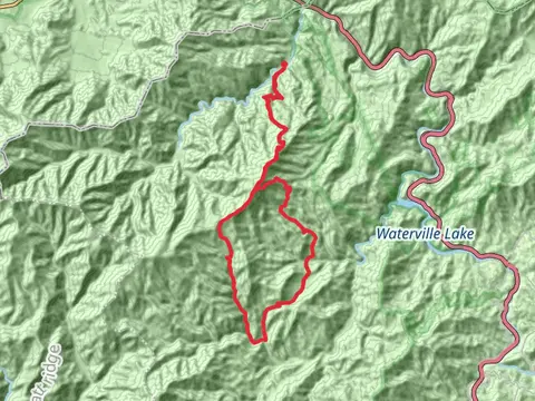
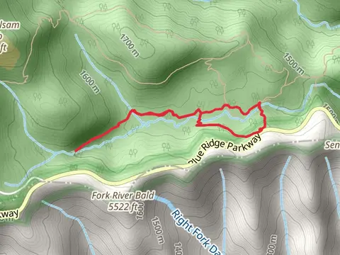
View Hikes on map


What to expect
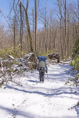
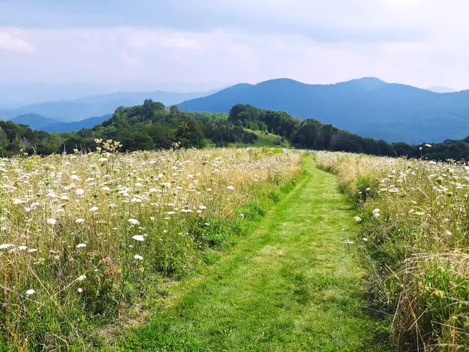
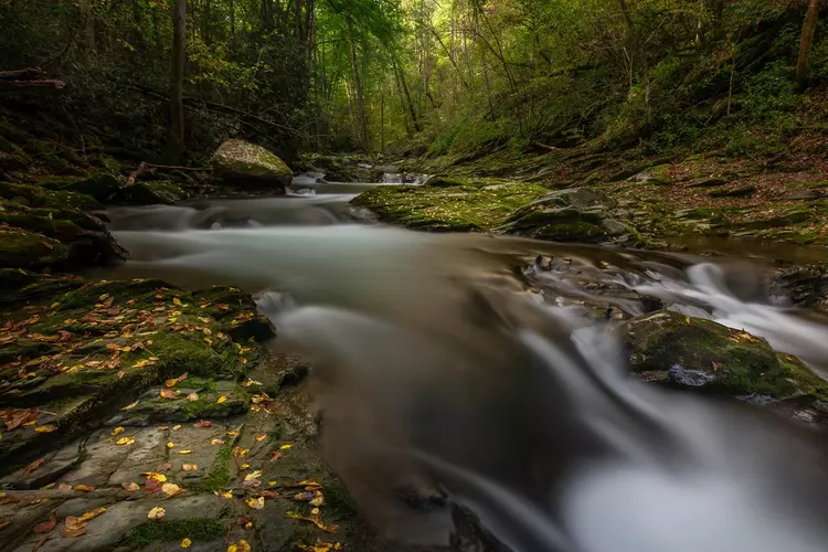
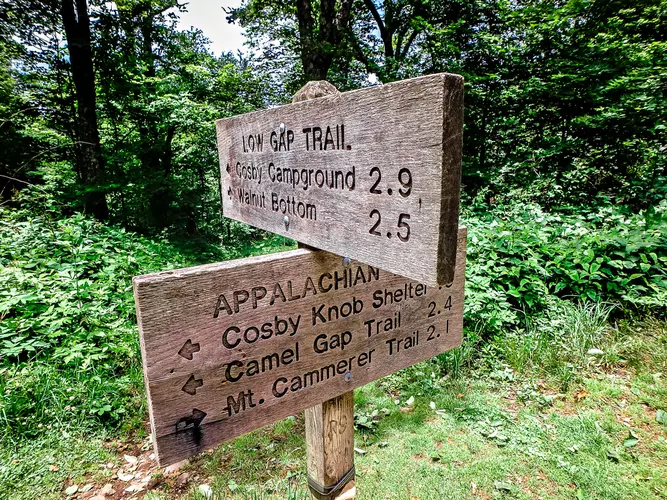
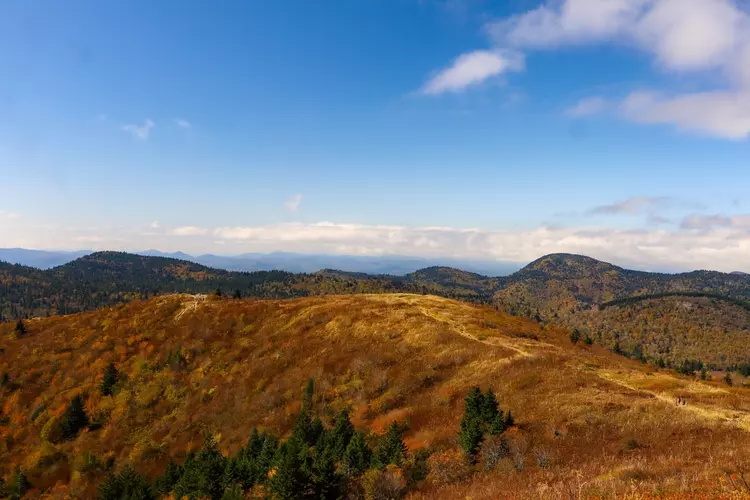
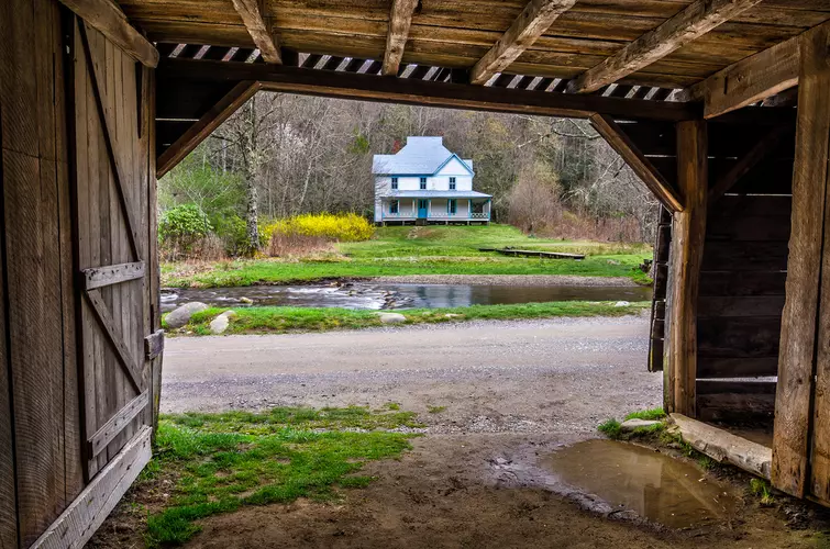
Check out some of the best hiking, walking and backpacking routes in Haywood County, North Carolina. The Appalachian Trail Section Hike - Davenport Gap to Max Patch Road is the most popular trail. The trails have 1520 user reviews with great photos and information. There are trails of various difficulty levels including easy, medium, difficult, and extra difficult. The trail with the highest elevation climb is the Shining Rock, Tennent Mountain, Investor Gap and Art Loed Loop Trail and the trail with the least amount of climbing is the Big Creek Trail from Big Creek Entrance Road. The longest trail is the Long Bunk - Little Cataloochee - Pretty Hollow Gap - Mount Sterling Loop Trail at 45.6 km. For a shorter adventure you can try the Green Creek Out and Back at 368 m. Get off line access to History, Campsite, Water, and Peak locations and much more with a Hiiker subscription.

Be prepared for hiking in North Carolina with the HiiKER app