The best hikes in Alamance County
North Carolina · 20 HiiKER Hikes
View Hikes on map
What to expect
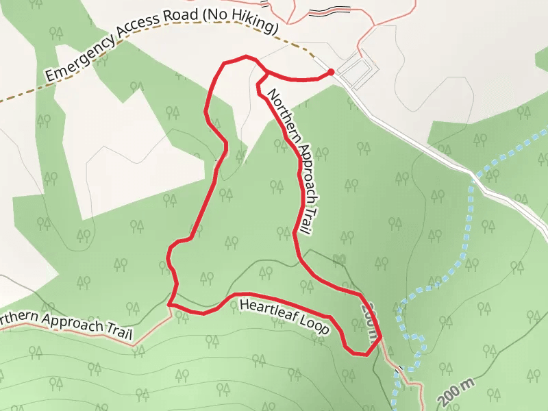
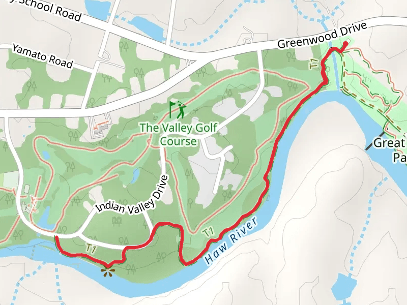
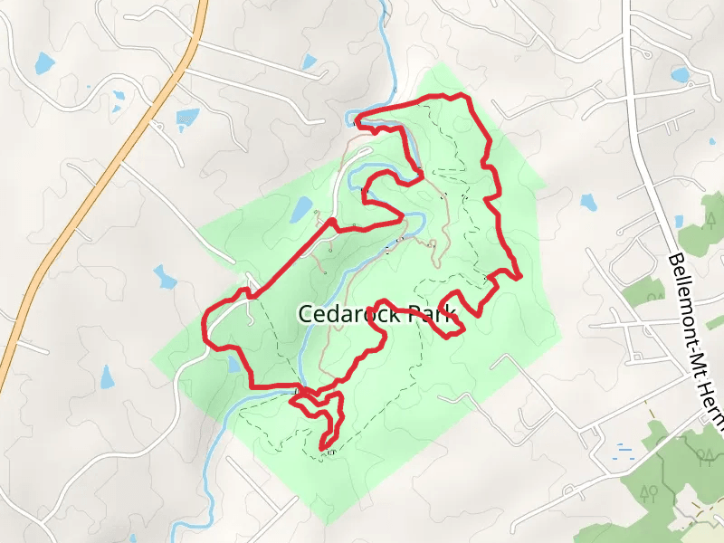
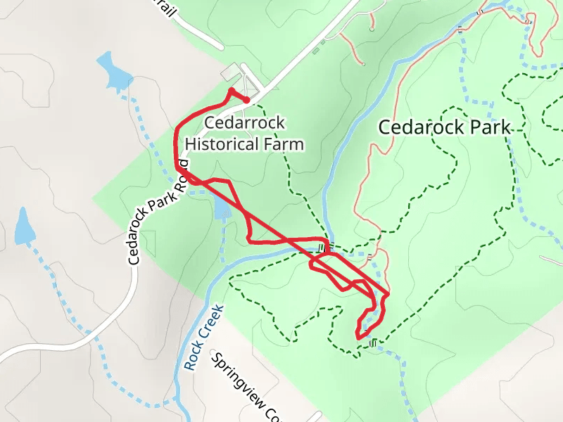
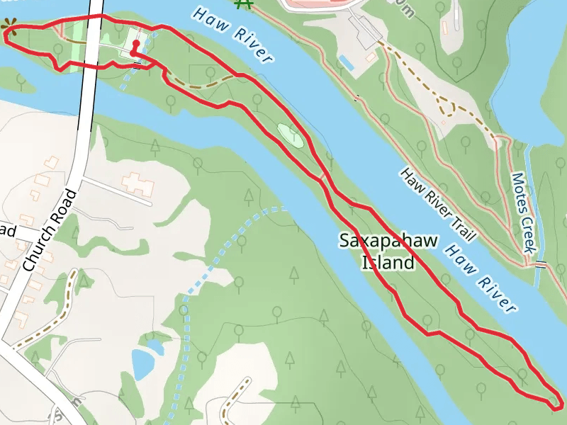
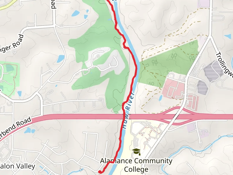
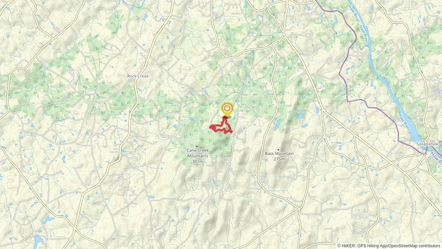
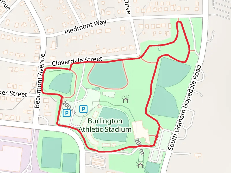
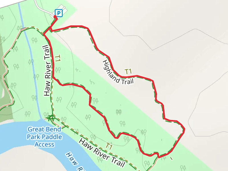
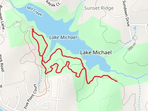
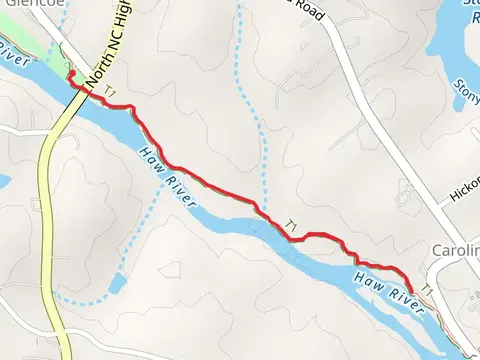
Check out some of the best hiking, walking and backpacking routes in Alamance County, North Carolina. The Spoon Branch Loop Trail is the most popular trail. There are trails of various difficulty levels including easy and medium. The trail with the highest elevation climb is the Cane Creek Mountains Natural Area Loop and the trail with the least amount of climbing is the Saxapahaw Island Loop. The longest trail is the Rock Creek and Bridle Loop Trail at 7.3 km. For a shorter adventure you can try the Highland Loop Trail at 812 m. Get off line access to Town, Shelter, Restaurant, and Fastfood locations and much more with a Hiiker subscription.

Be prepared for hiking in North Carolina with the HiiKER app