The best hikes in Aotea Great Barrier
New Zealand · 16 HiiKER Hikes
View Hikes on map
What to expect
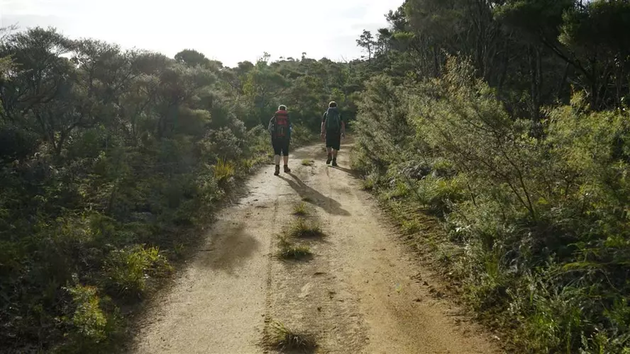
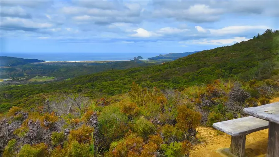
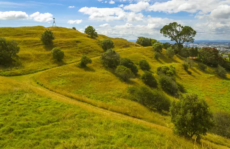
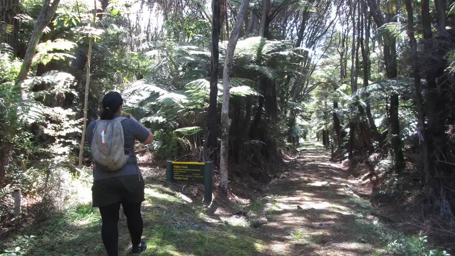
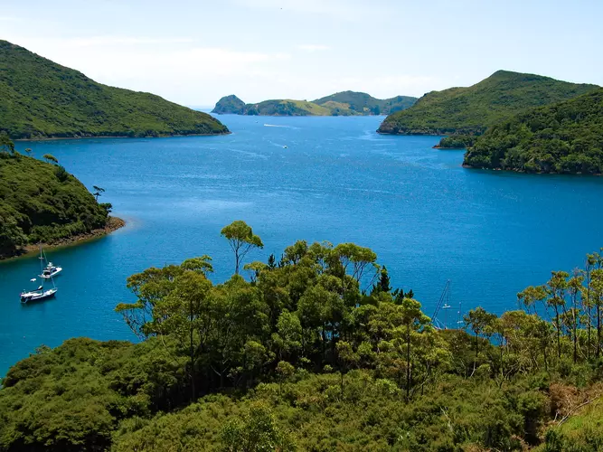
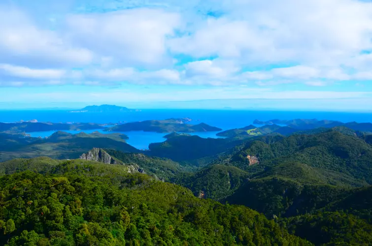
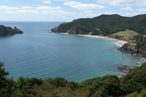
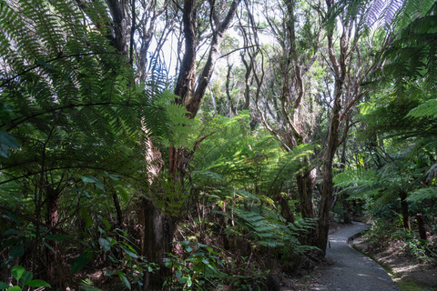
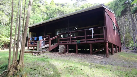
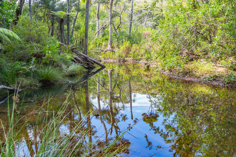
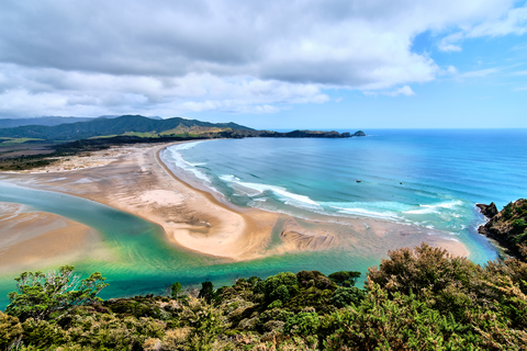
Check out some of the best hiking, walking and backpacking routes in Aotea Great Barrier, New Zealand. The Hirakimata - Mt Hobson Summit Track is the most popular trail. There are trails of various difficulty levels including medium, difficult, and extra difficult. The trail with the highest elevation climb is the Kaiaraara Track to Mt Hobson - Hirakimata and the trail with the least amount of climbing is the Kaitoke Hotpools Track. The longest trail is the Forest Road Port FitzRoy - Whangaparapara at 27.6 km. For a shorter adventure you can try the Bush's Beach Track at 1.5 km. Get off line access to Shelter, Town, Water, and Peak locations and much more with a Hiiker subscription.

Be prepared for hiking in New Zealand with the HiiKER app