The best hikes in Schuyler County
New York · 42 HiiKER Hikes
View Hikes on map
What to expect
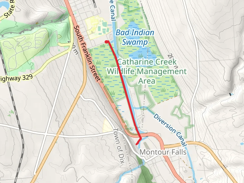
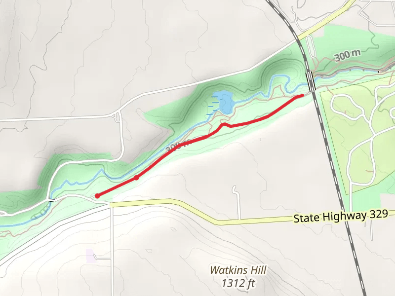
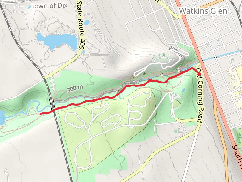
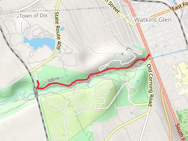
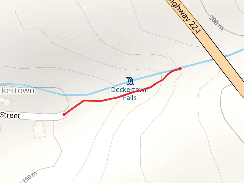
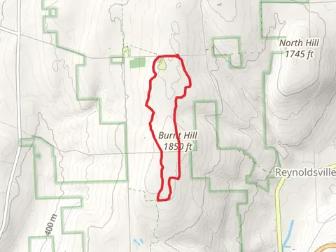
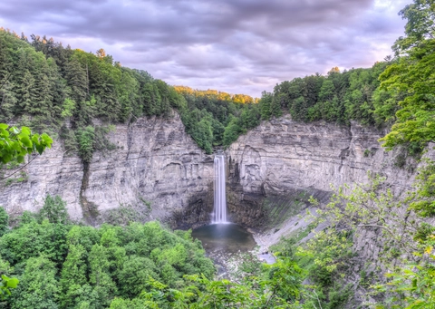
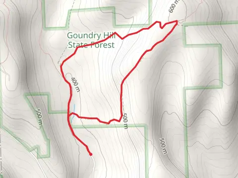
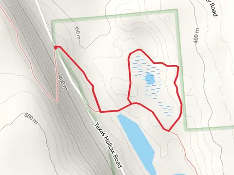
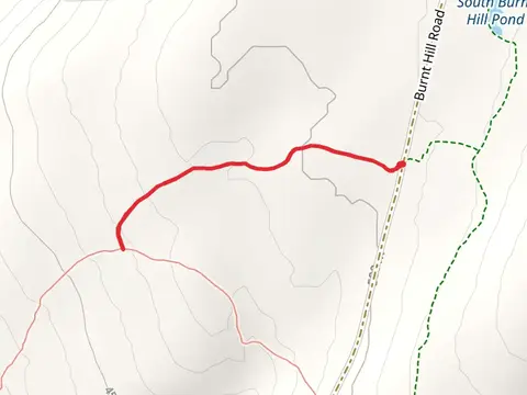
Check out some of the best hiking, walking and backpacking routes in Schuyler County, New York. The Finger Lakes Trail - New York is the most popular trail. The trails have 341 user reviews with great photos and information. There are trails of various difficulty levels including easy, medium, difficult, and extra difficult. The trail with the highest elevation climb is the Odessa to south Hillvia Finger Lakes Trail and the trail with the least amount of climbing is the Catharine Valley Trail. The longest trail is the Odessa to south Hillvia Finger Lakes Trail at 31.1 km. For a shorter adventure you can try the Montour Falls Detour Trail at 202 m. Get off line access to Peak, Fastfood, Shelter, and Restaurant locations and much more with a Hiiker subscription.

Be prepared for hiking in New York with the HiiKER app