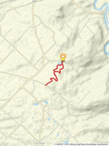
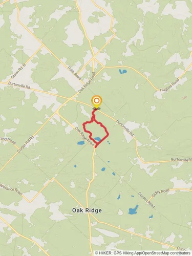
3.6 km
~48 min
50 m
"A wonderous hike from the heart of Montgomery County"
The Cayadutta Creek from Mohawk Turnpike is a 3.6 km looped trail that starts and ends in Mohawk, Montgomery County, New York. Based on our data, the trail is graded as Medium. For information on how we grade trails, please read measuring the difficulty of a hiking trail on hiiker. Also, check our latest community posts for trail updates.
This trail can be completed in approx 1 hrs 6 mins. Caution is advised on trail times as this depends on multiple variables. For more info read about how we calculate hike time.

Reviews
User comments, reviews and discussions about the Cayadutta Creek from Mohawk Turnpike, New York.
5.0
average rating out of 5
12 rating(s)