The best hikes in Gloucester
New South Wales · 7 HiiKER Hikes
View Hikes on map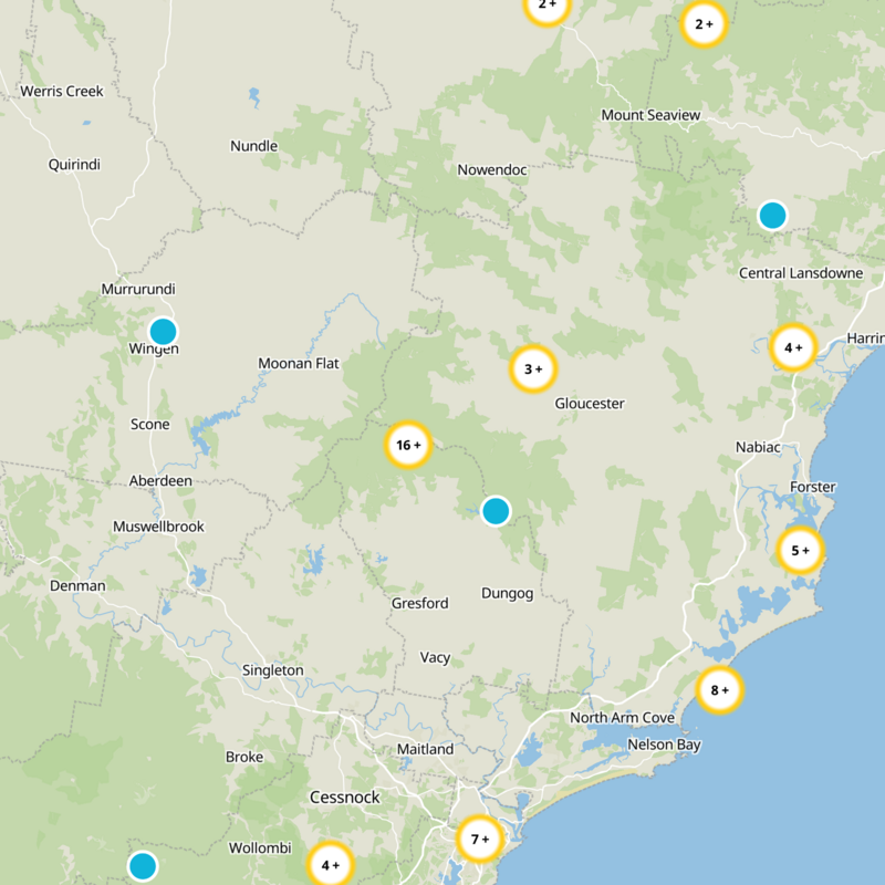


What to expect
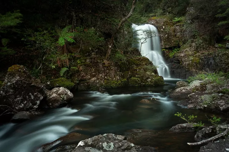
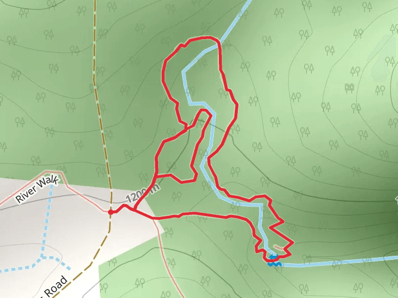
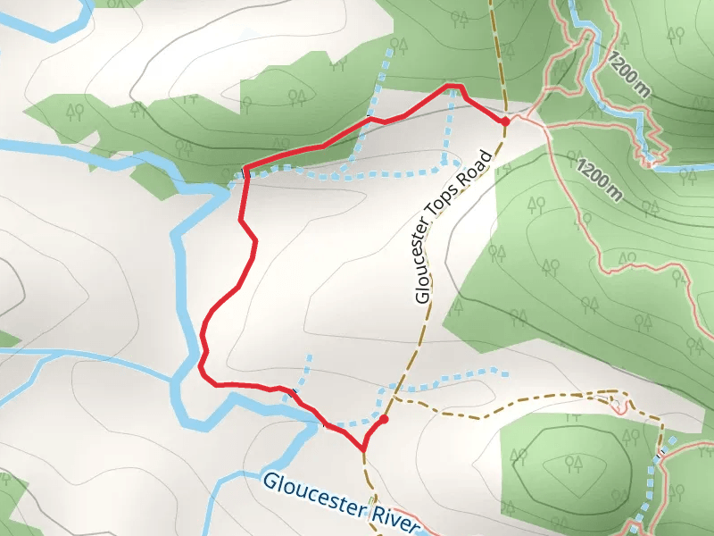
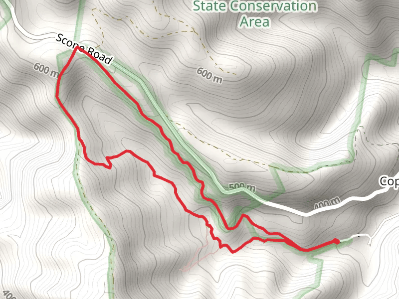
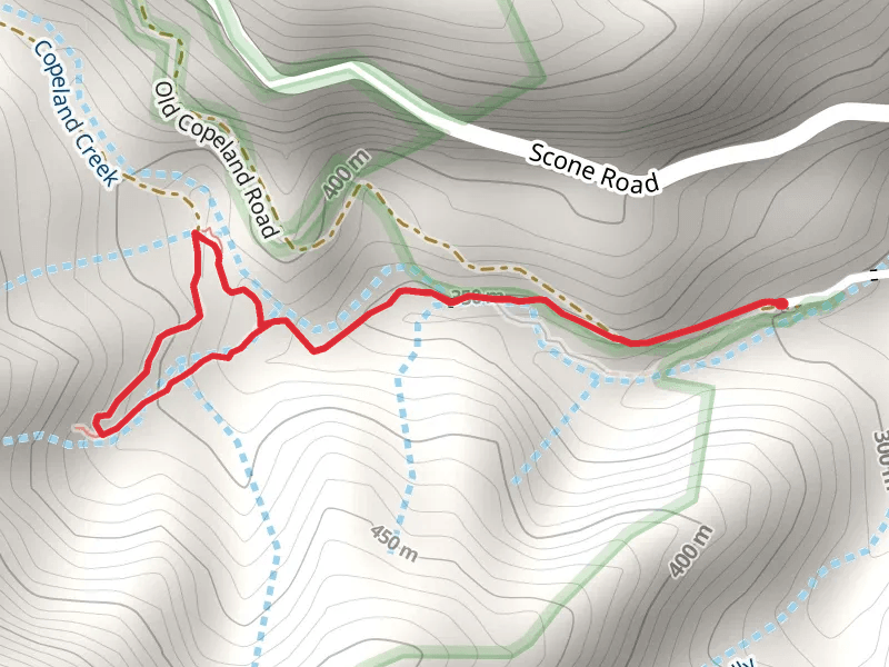
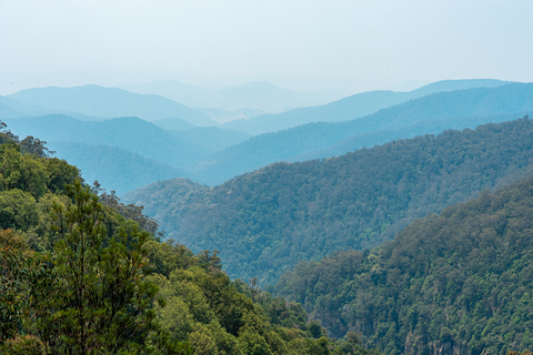
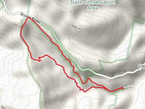
Check out some of the best hiking, walking and backpacking routes in Gloucester, New South Wales. The Gloucester Tops Circuit is the most popular trail. The trail with the highest elevation climb is the Link Trail - Gloucester Tops to Careys Peak and the trail with the least amount of climbing is the Hidden Treasure Track. The longest trail is the Link Trail - Gloucester Tops to Careys Peak at 31.1 km. For a shorter adventure you can try the Gloucester River Walk at 1.8 km. Get off line access to Viewpoint, Shelter, Water, and Peak locations and much more with a Hiiker subscription.

Be prepared for hiking in New South Wales with the HiiKER app