The best hikes in Coonamble Shire
New South Wales · 6 HiiKER Hikes
View Hikes on map

What to expect
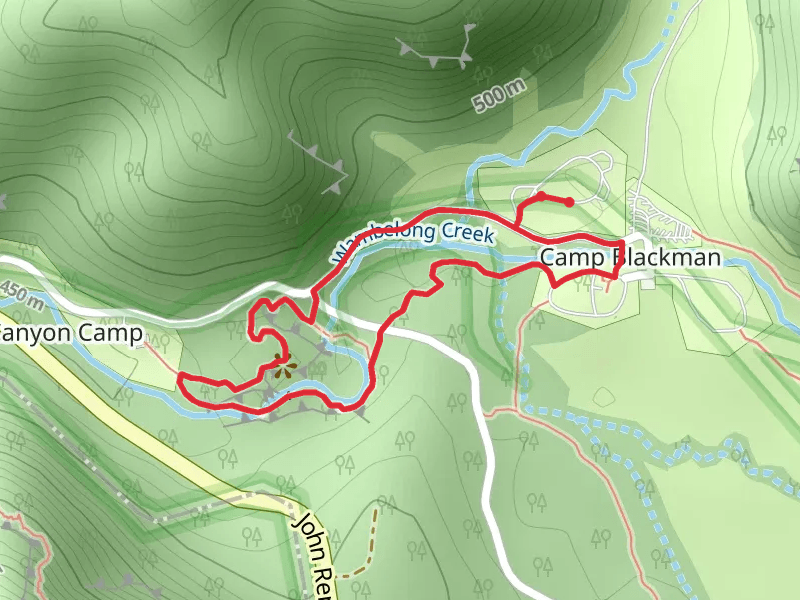
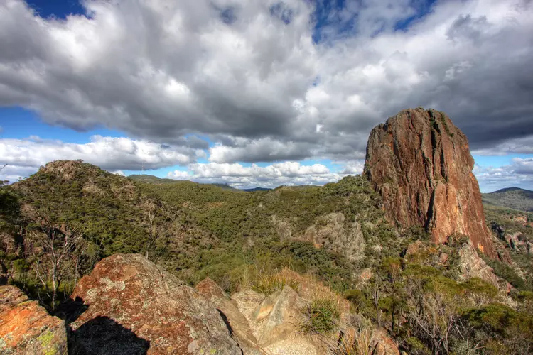
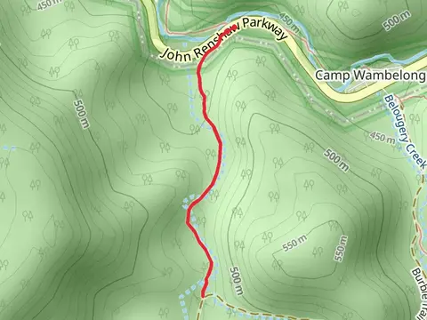
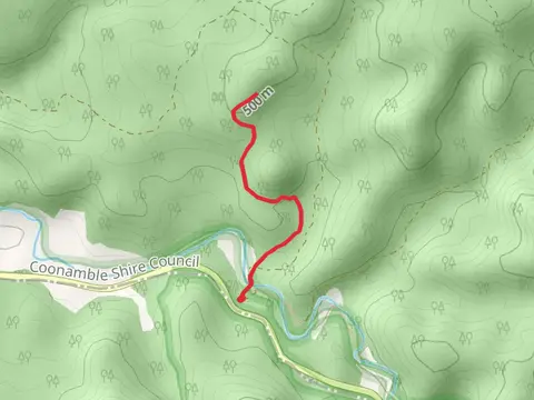
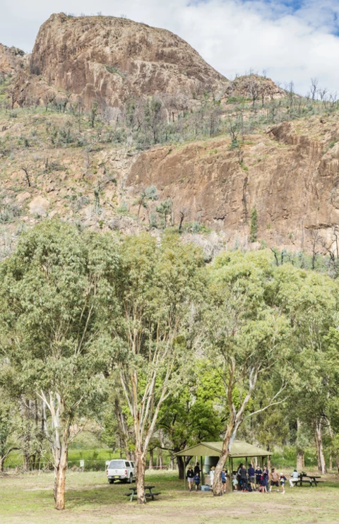
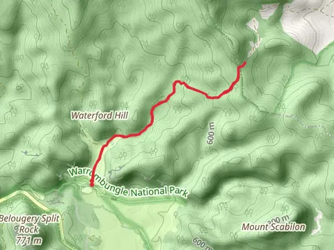
Check out some of the best hiking, walking and backpacking routes in Coonamble Shire, New South Wales. The Tara Cave Trail is the most popular trail. The trail with the highest elevation climb is the Greenslopes Trail and the trail with the least amount of climbing is the Burbie Canyon Track. The longest trail is the Greenslopes Trail at 10 km. For a shorter adventure you can try the Wambelong Nature Walking Track at 1 km. Get off line access to Water, Peak, Shelter, and Campsite locations and much more with a Hiiker subscription.

Be prepared for hiking in New South Wales with the HiiKER app