Download
Preview
Add to list
More
23.8 km
~1 day 1 hrs
1131 m
Loop
“Explore diverse landscapes and ancient ruins on the captivating 24 km Alamo and Frijoles Rim Loop Trail.”
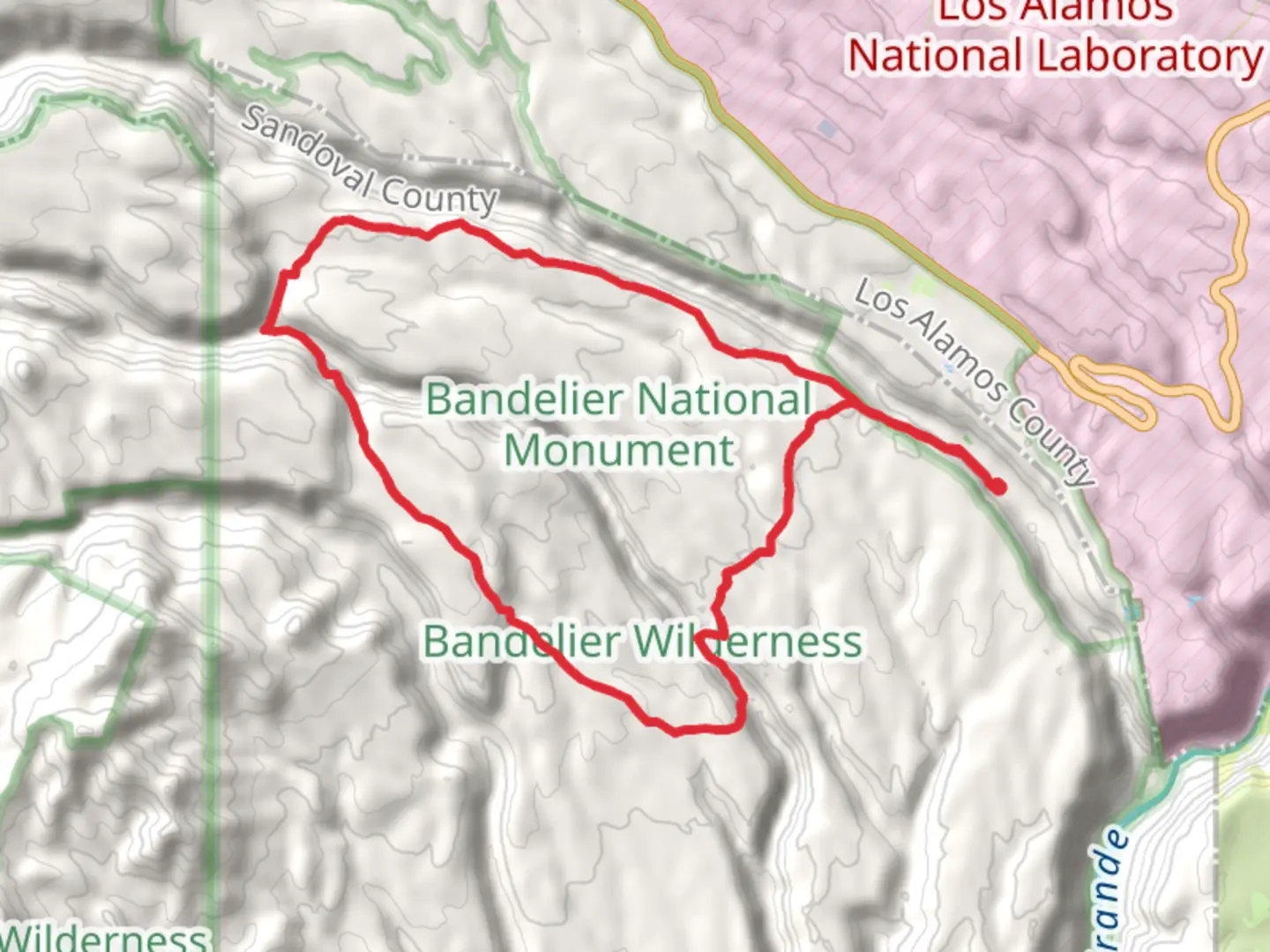
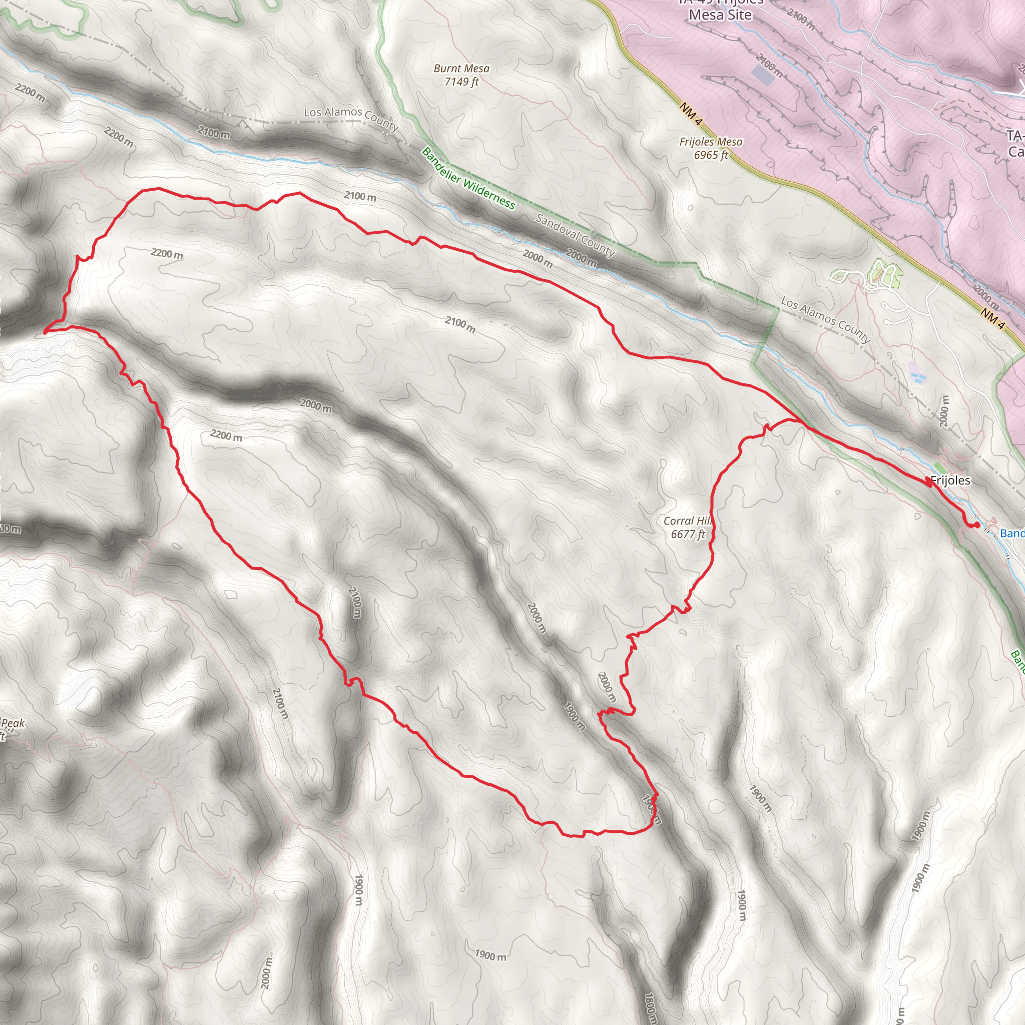
Starting near Sandoval County, New Mexico, the Middle and Upper Alamo and Frijoles Rim Loop Trail is a captivating 24 km (approximately 15 miles) loop with an elevation gain of around 1100 meters (3600 feet). This trail offers a medium difficulty rating, making it suitable for moderately experienced hikers looking for a rewarding challenge.### Getting There To reach the trailhead, you can drive or use public transport. If driving, head towards Sandoval County, New Mexico, and look for parking near the Bandelier National Monument Visitor Center. For those using public transport, the nearest major city is Santa Fe, from where you can take a bus or shuttle service to the Bandelier National Monument.### Trail Overview The trail begins with a gradual ascent through a forested area, offering a mix of ponderosa pines and junipers. As you climb, you'll encounter several switchbacks that help manage the elevation gain. The first significant landmark is the Alamo Canyon, approximately 5 km (3 miles) into the hike. Here, you can take a moment to enjoy the stunning views of the canyon walls and the diverse plant life that thrives in this semi-arid environment.### Historical Significance Around the 8 km (5 miles) mark, you'll come across remnants of ancient Puebloan dwellings. These ruins are a testament to the rich history of the region, where indigenous people lived and thrived for centuries. Take some time to explore these archaeological sites, but remember to respect the area and leave no trace.### Wildlife and Nature As you continue, the trail takes you along the Frijoles Rim, offering panoramic views of the surrounding landscape. Keep an eye out for local wildlife, including mule deer, black bears, and various bird species such as the Steller's jay and the red-tailed hawk. The flora also changes as you gain elevation, with more alpine species appearing as you approach the higher sections of the trail.### Navigation and Safety Given the trail's length and elevation gain, it's crucial to be well-prepared. Use the HiiKER app for accurate navigation and real-time updates on trail conditions. Ensure you have enough water, snacks, and appropriate clothing for changing weather conditions. The trail can be rocky and uneven in places, so sturdy hiking boots are recommended.### Final Stretch The final section of the loop descends back towards the starting point, offering a different perspective of the landscape you traversed earlier. This part of the trail is less strenuous but still requires careful footing, especially if the ground is wet or loose.By the time you complete the loop, you'll have experienced a diverse range of landscapes, historical sites, and possibly some local wildlife, making this trail a memorable adventure.
What to expect?
Activity types
Comments and Reviews
User comments, reviews and discussions about the Middle and Upper Alamo and Frijoles Rim Loop Trail, New Mexico.
4.66
average rating out of 5
29 rating(s)
