Download
Preview
Add to list
More
18.5 km
~1 day 0 hrs
1281 m
Loop
“"Explore an 18 km loop trail near Sandoval County offering stunning views, historical intrigue, and diverse wildlife."”
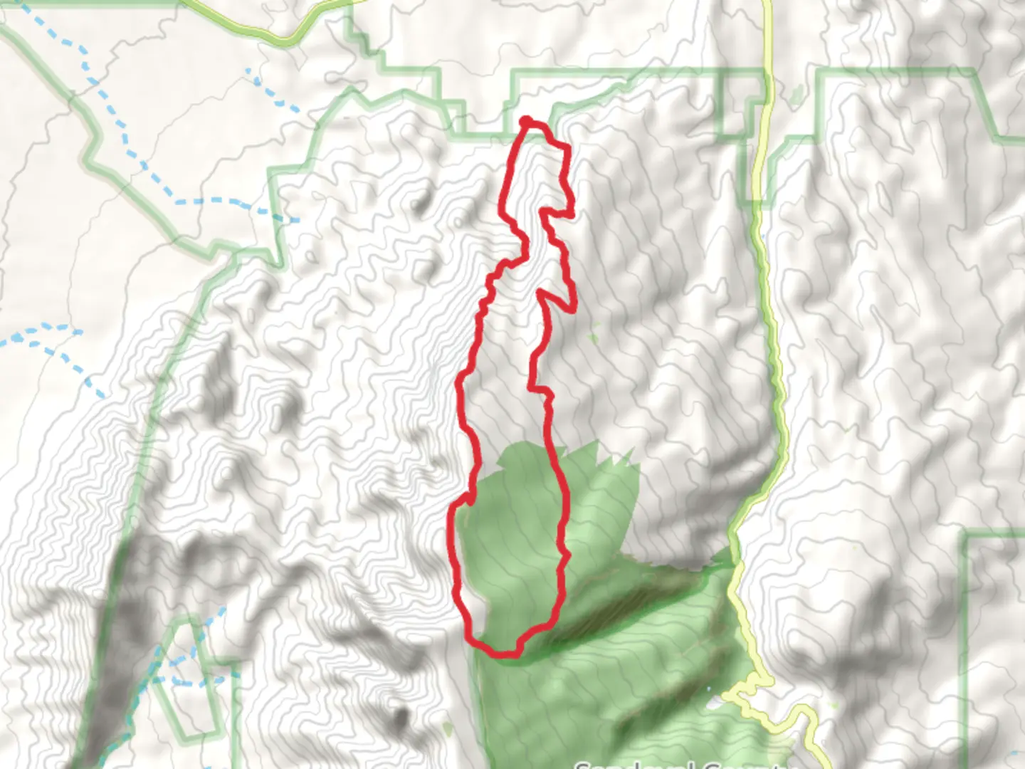
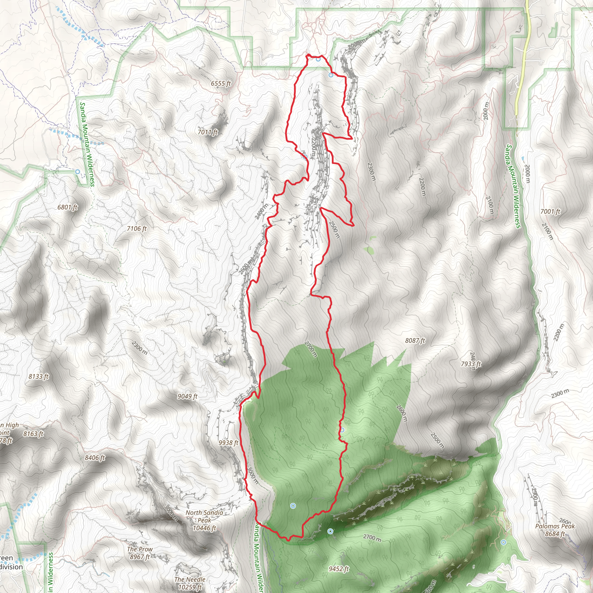
Starting near Sandoval County, New Mexico, this 18 km (approximately 11.2 miles) loop trail offers a rewarding hike with an elevation gain of around 1200 meters (3937 feet). The trailhead is accessible by car, with parking available near the Sandia Crest Scenic Byway. For those using public transport, the nearest major city is Albuquerque, from where you can take a bus to the Sandia Peak Tramway and then a short taxi ride to the trailhead.### Initial Ascent and TerrainThe hike begins with a steady ascent through a mixed forest of ponderosa pines and junipers. The first 3 km (1.9 miles) will see you gaining about 300 meters (984 feet) in elevation. The trail is well-marked, but it's advisable to use HiiKER for navigation to ensure you stay on track. The terrain here is rocky, so sturdy hiking boots are recommended.### Mid-Trail HighlightsAround the 5 km (3.1 miles) mark, you'll reach a plateau offering panoramic views of the Sandia Mountains and the Rio Grande Valley. This is a great spot for a break and some photography. The trail then continues to climb, reaching its highest point at approximately 9 km (5.6 miles) with an elevation gain of 900 meters (2953 feet). Here, you'll find the North Crest Trail junction, which offers stunning vistas and a chance to spot local wildlife such as mule deer and various bird species.### Historical SignificanceThe region has a rich history, with evidence of Native American habitation dating back thousands of years. The Sandia Mountains were named by Spanish explorers, with "Sandia" meaning "watermelon" in Spanish, a reference to the pinkish hue the mountains take on during sunset. Keep an eye out for ancient petroglyphs along the trail, particularly near the 12 km (7.5 miles) mark.### Descent and ReturnThe descent begins after the North Crest Trail junction, with a gradual decline over the next 6 km (3.7 miles). This section of the trail is less steep but can be slippery, especially after rain, so trekking poles can be helpful. The final stretch brings you back through dense forest, eventually looping back to the trailhead.### Flora and FaunaThroughout the hike, you'll encounter a diverse range of flora, including wildflowers in the spring and summer months. The area is also home to various wildlife, including black bears and mountain lions, so it's essential to stay alert and make noise to avoid surprising any animals.### Preparation and SafetyGiven the elevation gain and the length of the trail, it's crucial to be well-prepared. Bring plenty of water, snacks, and a first-aid kit. Weather can change rapidly in the mountains, so layers and a rain jacket are advisable. Always let someone know your hiking plans and estimated return time.Using HiiKER for navigation will ensure you stay on the correct path and can access real-time updates on trail conditions. This hike offers a mix of challenging terrain, breathtaking views, and a touch of historical intrigue, making it a memorable adventure for those prepared to tackle it.
What to expect?
Activity types
Comments and Reviews
User comments, reviews and discussions about the Arroyo Agya Sarca and North Crest Trail, New Mexico.
4.41
average rating out of 5
22 rating(s)
