The best hikes in Los Alamos County
New Mexico · 57 HiiKER Hikes
View Hikes on map
What to expect
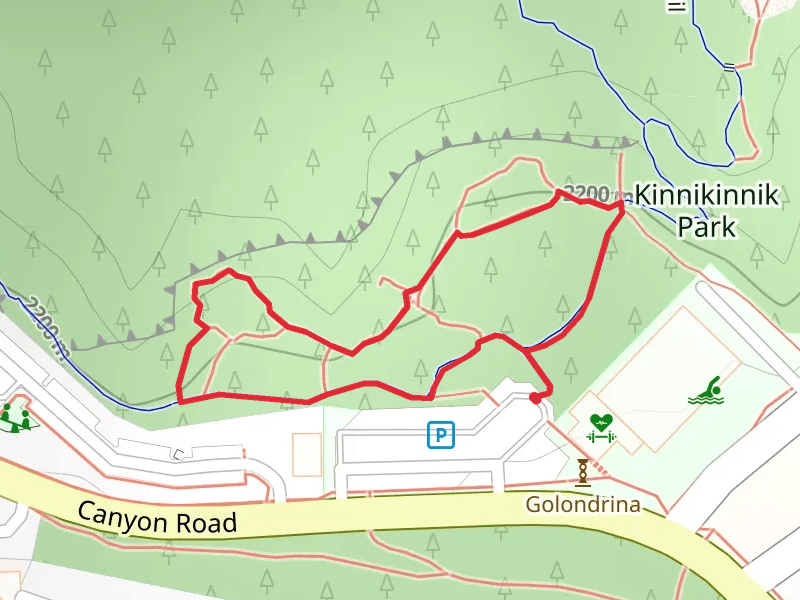
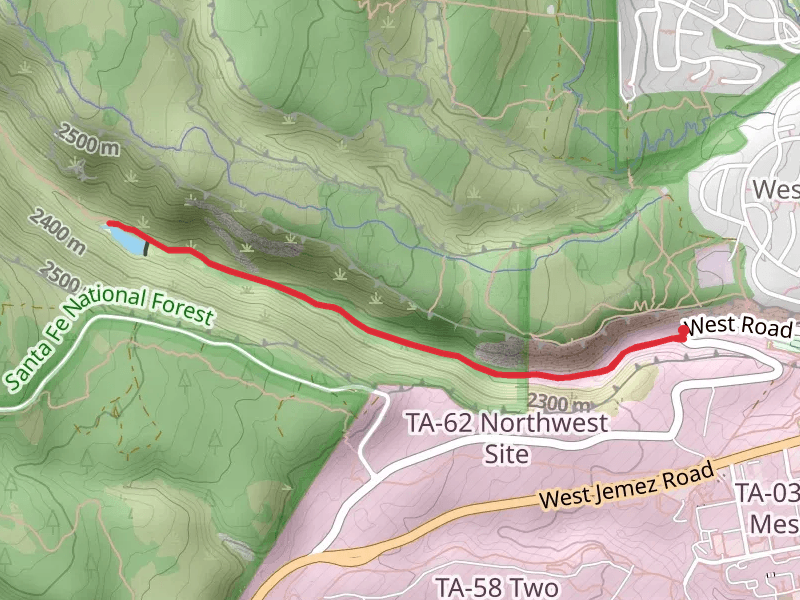
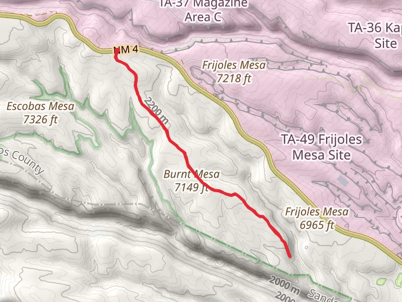
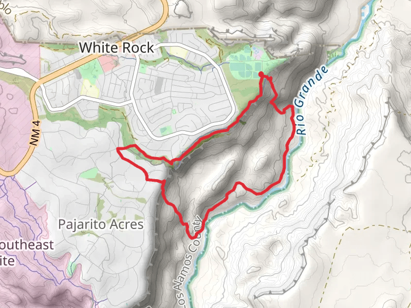
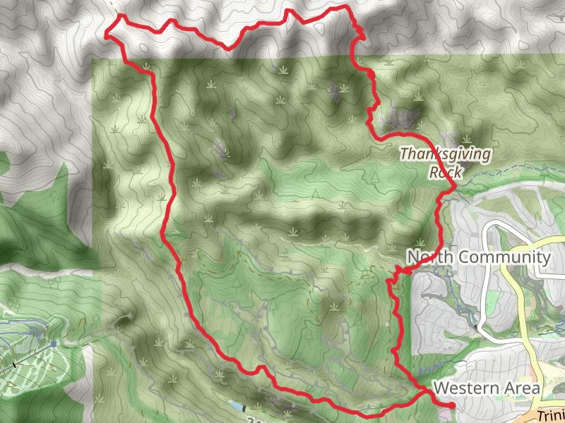
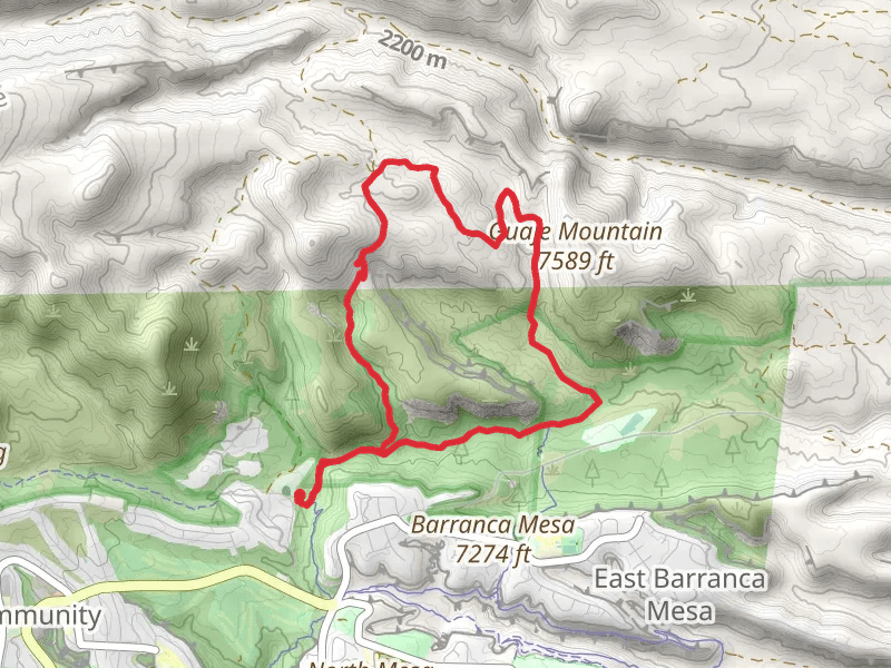
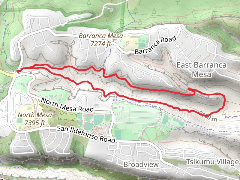
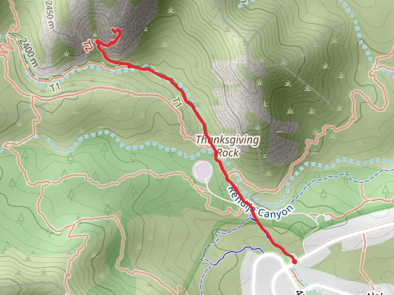
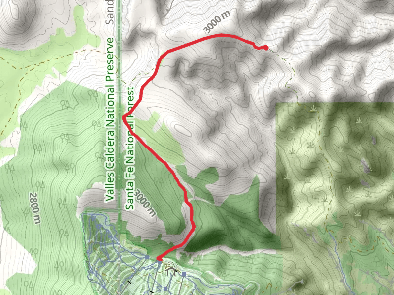
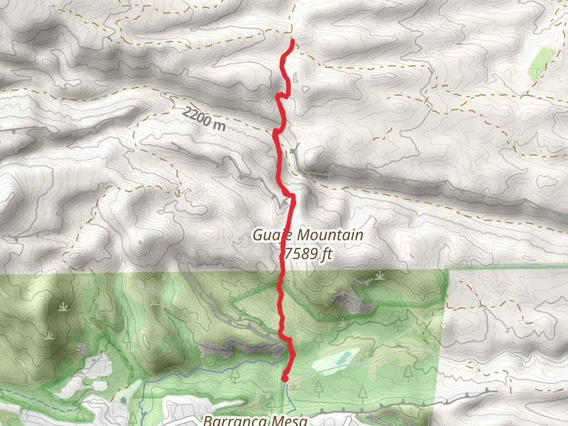
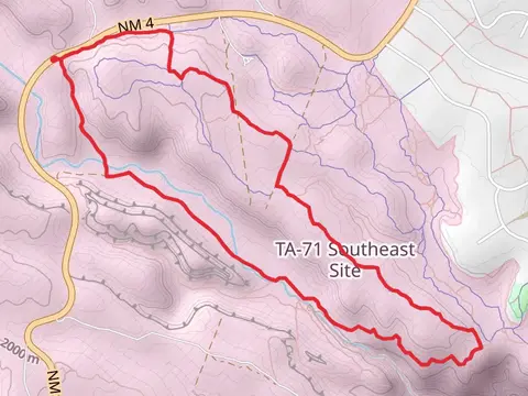
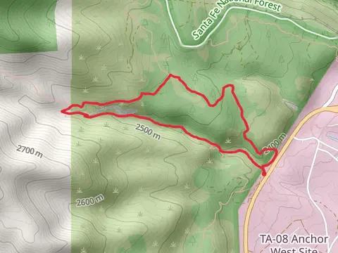
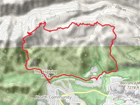
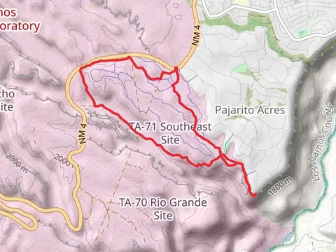
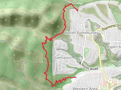
Check out some of the best hiking, walking and backpacking routes in Los Alamos County, New Mexico. The Los Alamos Reservoir is the most popular trail. There are trails of various difficulty levels including easy and medium. The trail with the highest elevation climb is the Pajarito Mountain via EAst Road and Aspen For Trouble Loop and the trail with the least amount of climbing is the Blue Dot Trail Out and Back. The longest trail is the Upper Guaje Trail, Pajarito Trail and Perimeter Trail Loop at 22.5 km. For a shorter adventure you can try the Acid Canyon Loop Trail at 678 m. Get off line access to History, Fastfood, Restaurant, and Shelter locations and much more with a Hiiker subscription.

Be prepared for hiking in New Mexico with the HiiKER app