Download
3D Flyover
Add to list
More
135.6 km
~6 days
3313 m
Multi-Day
“Embark on a scenic 136-kilometer adventure through New York's Appalachian Trail, brimming with natural splendors and rich history.”
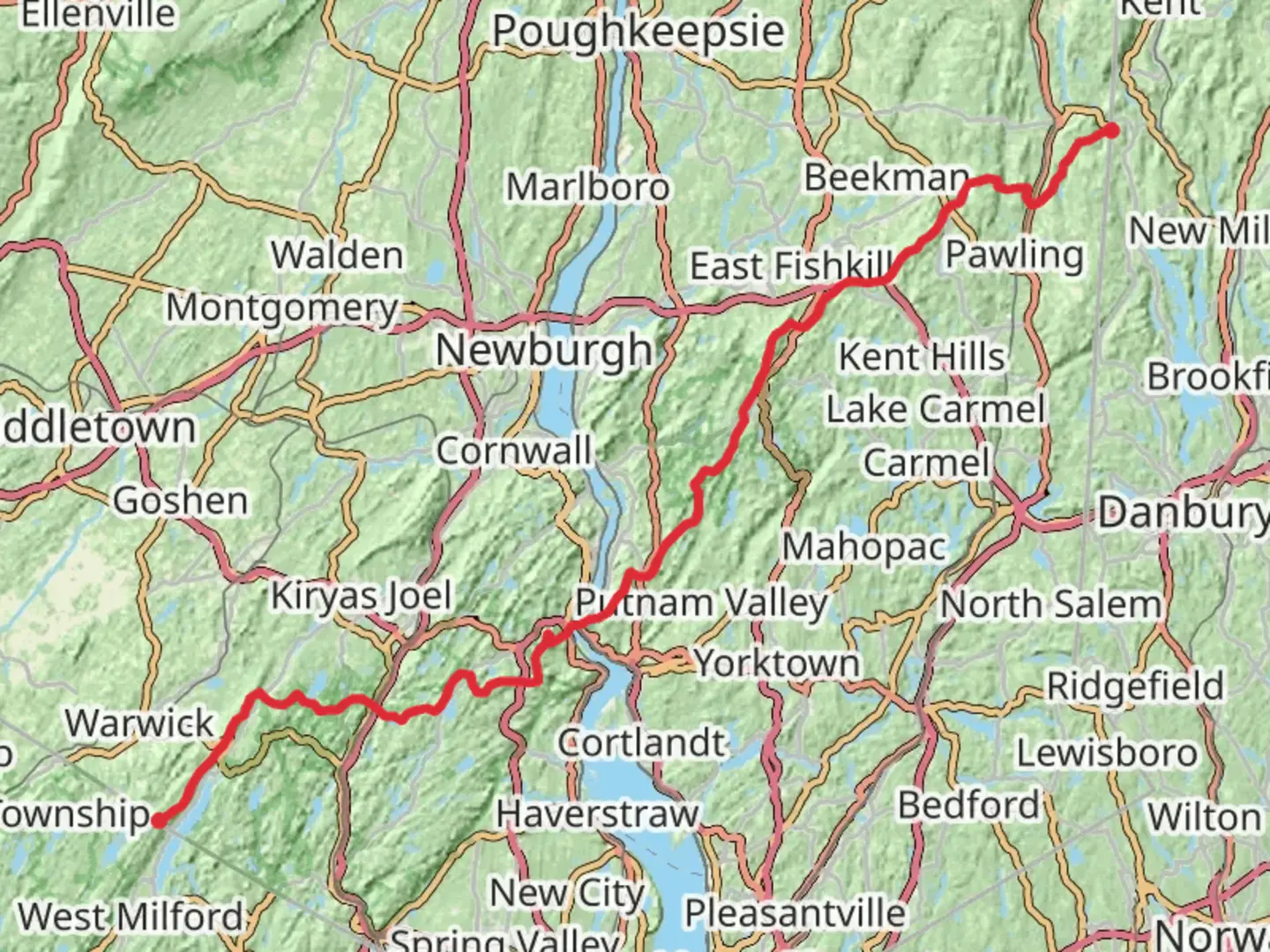
Spanning approximately 136 kilometers (85 miles) and with an elevation gain of around 3300 meters (10,826 feet), the Appalachian Trail section in New York offers a challenging yet rewarding experience for avid hikers. This point-to-point trail begins near Orange County, New Jersey, and winds its way through diverse landscapes, showcasing the natural beauty of the region.
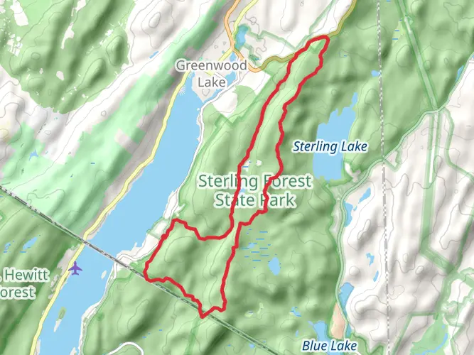
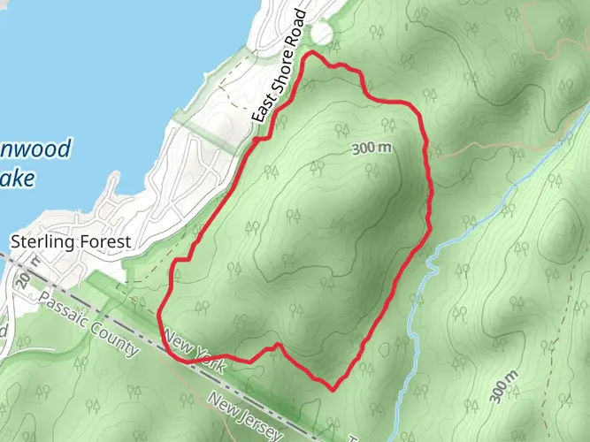
Getting to the Trailhead The starting point of the New York section of the Appalachian Trail is accessible by both public transportation and car. For those opting for public transit, the nearest train stations are in the towns of Harriman and Pawling, which are serviced by the Metro-North Railroad. From these stations, local taxi services can take you to the trailhead. If driving, the southern terminus is near the border of New Jersey and New York, close to the town of Greenwood Lake. Parking is available at various points along the trail for those who wish to start from different sections.
Navigating the Trail As you embark on your journey, it's essential to have a reliable navigation tool. HiiKER is an excellent resource for detailed maps and trail information, ensuring you stay on the right path throughout your hike.
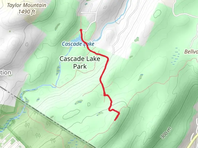
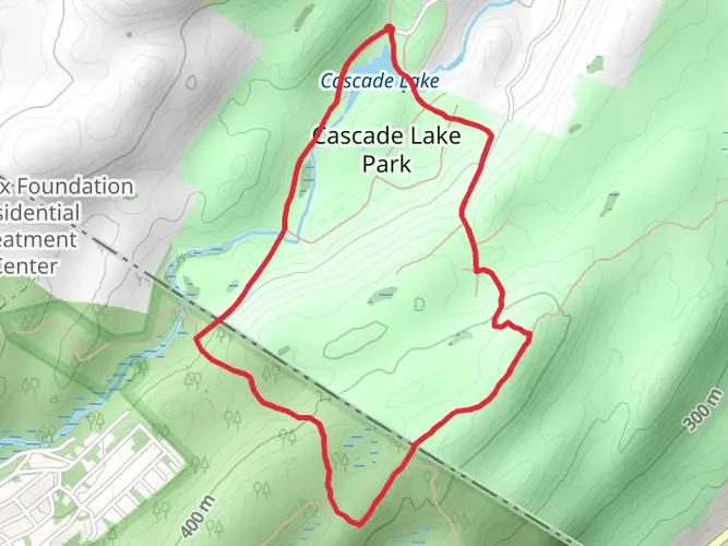
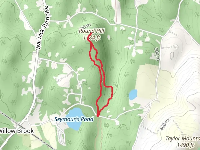
Landmarks and Scenery The trail offers a variety of landscapes, from dense forests to open meadows, rocky outcrops, and serene lakes. Notable landmarks include the Bear Mountain State Park, where the trail crosses the Hudson River via the Bear Mountain Bridge. This area provides stunning views of the river and surrounding highlands.
Further along, hikers will encounter the historic West Mountain Shelter, which offers panoramic views of the New York City skyline on clear days. The trail also passes through Fahnestock State Park, where the Canopus Lake is a perfect spot for a restful break.
Wildlife and Nature The New York section of the Appalachian Trail is rich in biodiversity. Hikers may spot white-tailed deer, black bears, and a variety of bird species, including the pileated woodpecker and the barred owl. The trail also traverses through several ecologically diverse areas, such as wetlands and hardwood forests, which are home to unique plant species.
Historical Significance The region is steeped in history, with the trail itself being a monument to conservation and outdoor recreation. The Appalachian Trail was conceived in the 1920s and completed in 1937, and it has since become a symbol of the enduring spirit of the American wilderness. Along the New York section, hikers will walk paths that have been used for centuries, including Native American trade routes and old logging roads.
Preparation and Planning Given the trail's difficulty rating, it's crucial for hikers to prepare adequately. Ensure you have proper gear, including sturdy hiking boots, weather-appropriate clothing, and sufficient food and water. It's also wise to plan for overnight stays, whether in designated shelters or by bringing camping equipment for backcountry sites.
Remember to check the weather forecast and trail conditions before setting out, as parts of the trail can be particularly challenging during adverse weather. Lastly, always practice Leave No Trace principles to preserve the trail and its surroundings for future generations.

Comments and Reviews
User comments, reviews and discussions about the Appalachian Trail - New York, New Jersey.
4.57
average rating out of 5
14 rating(s)