Download
3D Preview
Add to list
More
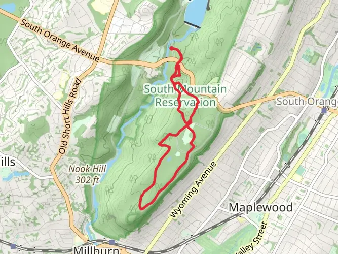
82.3 km
~3 days
1054 m
Multi-Day
“Embark on Patriots Path for a historical hike through scenic vistas and diverse terrains in Morris County.”
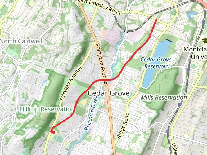
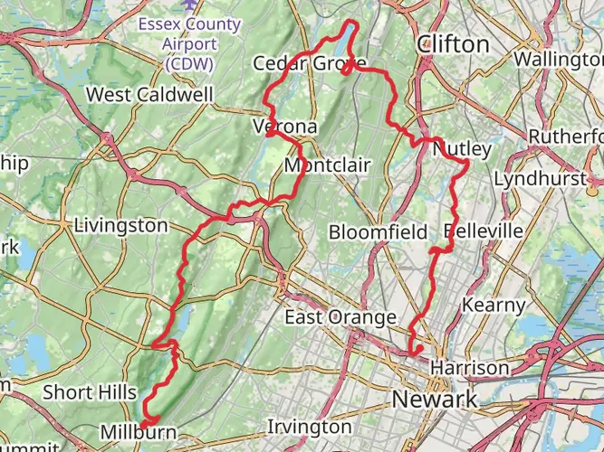
Patriots Path winds its way through the heart of Morris County, New Jersey, offering hikers a diverse experience through historical sites, varied landscapes, and a range of ecosystems. The trail spans approximately 82 kilometers (about 51 miles) and features an elevation gain of around 1000 meters (approximately 3280 feet), presenting a medium difficulty level that caters to hikers with some experience.
Getting to the Trailhead
The trailhead is conveniently located near Essex County, and hikers can begin their journey at the eastern terminus in East Hanover, which is accessible by car. For those relying on public transportation, local buses serve the area, and the nearest train station is in Morristown, from where you can catch a taxi or a bus to the trailhead.
Navigating the Trail
As you embark on Patriots Path, it's advisable to use a reliable navigation tool like HiiKER to stay on track. The trail is well-marked, but with numerous intersecting local trails, having a digital map can enhance your hiking experience and ensure you're following the correct path.
Historical Significance and Landmarks
Patriots Path is steeped in history, meandering through areas that played significant roles during the American Revolution. One of the notable landmarks you'll encounter is the Washington’s Headquarters Museum in Morristown, which served as General George Washington's winter headquarters in 1779-1780. The trail also passes by Jockey Hollow, where the Continental Army endured the harsh winter of 1779-1780.
Natural Beauty and Wildlife
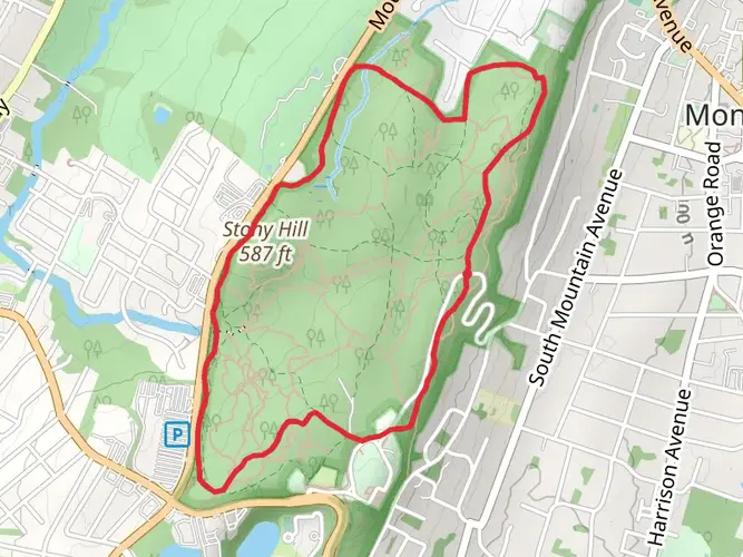
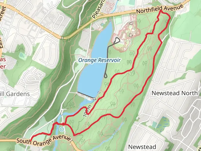
The trail offers a rich tapestry of natural scenery, from dense woodlands to open meadows, wetlands, and riverbanks. Wildlife enthusiasts may spot white-tailed deer, wild turkeys, and various bird species, including hawks and songbirds. The trail also features beautiful wildflowers in the spring and a stunning display of fall foliage.
Trail Experience
As you traverse the Patriots Path, you'll encounter a mix of terrain, including flat, easy sections and more challenging hilly areas. The trail is a combination of paved paths, gravel, and natural surfaces, which can be muddy or slippery after rain. Hikers should be prepared with appropriate footwear and gear for the conditions.
Points of Interest
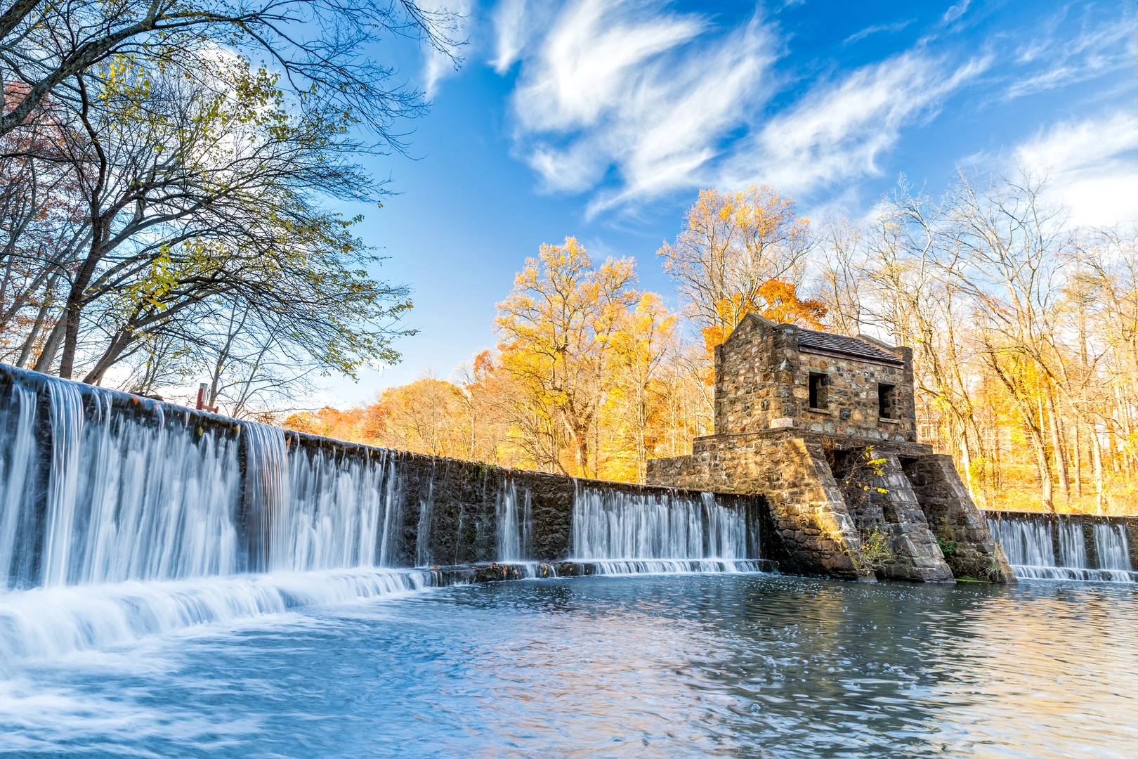
Approximately halfway through the trail, near Mendham, you'll reach the Schiff Nature Preserve, which offers a peaceful retreat with additional trails to explore. Further along, near Chester, hikers can enjoy a visit to the Cooper Gristmill, a restored 19th-century mill that offers a glimpse into the region's industrial past.
Preparation and Safety
Before setting out, ensure you have enough water, as sources along the trail may not be potable. It's also wise to pack snacks and a first-aid kit. Check the weather forecast and dress in layers to accommodate changing conditions. Cell service can be spotty in some areas, so inform someone of your itinerary and expected return time.
Conclusion
Patriots Path is a journey through American history, natural beauty, and diverse landscapes. With careful preparation and a spirit of adventure, hikers can enjoy a rewarding experience on this storied trail.

What to expect?
Activity types
Comments and Reviews
User comments, reviews and discussions about the Patriots Path, New Jersey.
4.33
average rating out of 5
6 rating(s)